2020s Maps of Perkins County, South Dakota
Explore 68 historic maps of Perkins County from the 2020s. These maps offer a rare glimpse into what life looked like during the 2020s — showing old roads, neighborhoods, homes, and landmarks that have changed or disappeared over time.
Whether you're researching your family's past, planning a metal detecting trip, or studying how Perkins County's landscape evolved across the 2020s, these high-resolution maps are a powerful tool for exploring the history of this region.
- Focus on a specific era: All maps on this page are from the 2020s, giving you a focused view of this time period.
- See what’s changed: Compare century-old streets, trails, and buildings to today's modern landscape using overlays and satellite layers.
- Research with precision: Use these maps for genealogy, historical research, land use analysis, or educational projects.
- View, download, or print: Maps are fully viewable online in high resolution, and can be downloaded or printed for your own records.
Start exploring Perkins County's history through authentic maps from the 2020s. This is your window into the past.
Perkins County, SD maps
(68)- 2020 Map of Haynes, 2020 Print
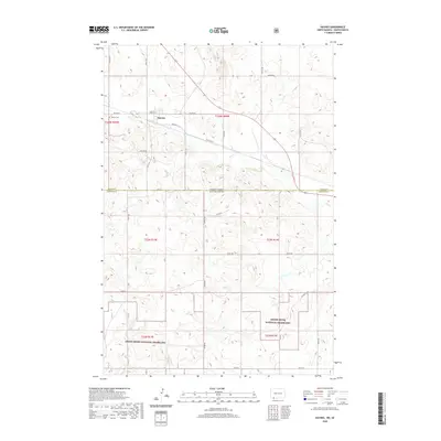 2020 Haynes2020 Print · USGSThe borderlands of North Dakota and South Dakota are captured here in a modern era of high-plains ranching and prairie conservation. Genealogists and local historians can trace the town layout of Haynes, locate the Haynes Cem, and explore the winding paths through the Grand River National Grassland.
 - 2020 Map of Hettinger South, 2020 Print
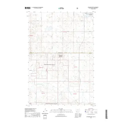 2020 Hettinger South2020 Print · USGSHettinger and the expansive prairie of the North Dakota-South Dakota border are captured here in the 2020s. Local researchers can trace family lands near the Grand River National Grassland or follow the waters of Bull Hook Cr and Mirror Lake.
 - 2020 Map of Cow Butte, 2020 Print
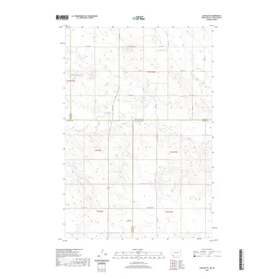 2020 Cow Butte2020 Print · USGSThe borderlands of South Dakota and North Dakota are documented here in the early twenty-first century, spanning four different counties. Local historians and genealogists can trace family footprints through the Mamre Lutheran Cem and Golden Valley Cem or follow the waters of the North Fork Grand River.
 - 2021 Map of Boxcar Buttes, 2021 Print
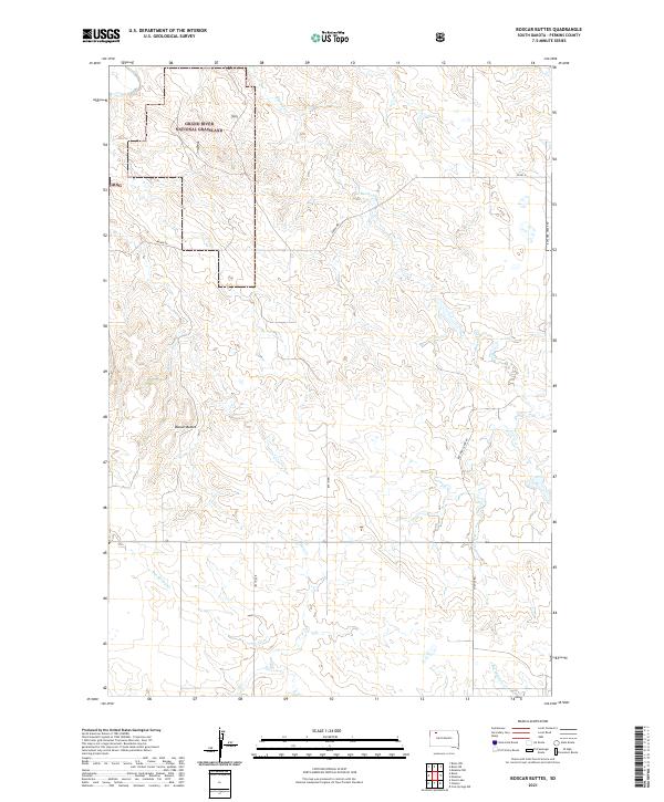 2021 Boxcar Buttes2021 Print · USGSPerkins County in the early 2020s remains a landscape of sprawling public prairies and quiet rural drainages. Genealogists and land researchers can trace property boundaries near Boxcar Buttes or follow the paths of Butcher Creek Rd and Bakke Rd.
 - 2021 Map of Date, 2021 Print
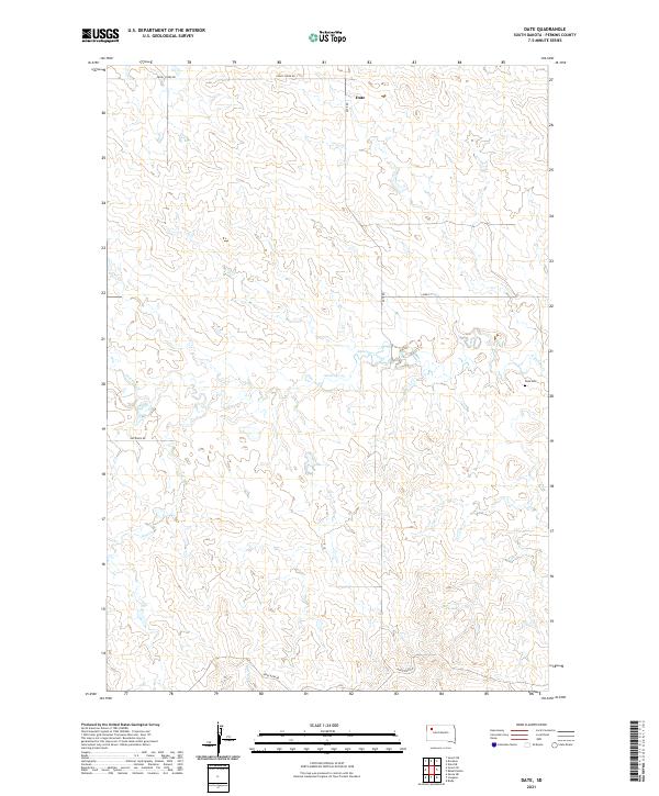 2021 Date2021 Print · USGSThis high-plains region of Perkins County is documented during the early twenty-first century, showing a remote landscape of ranch roads and creek draws. Researchers can locate the Date Cem and trace the paths of Antelope Cr and Dog Cr.
 - 2021 Map of Daviston, 2021 Print
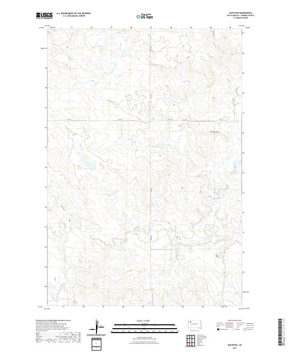 2021 Daviston2021 Print · USGSPerkins County's high plains are captured here in the early 2020s, revealing a landscape shaped by prairie drainage and remote ranching hubs. Researchers can trace the winding course of Rabbit Cr or locate landmarks like Lotties Butte and the settlement at Daviston.
 - 2021 Map of Prairie City NW, 2021 Print
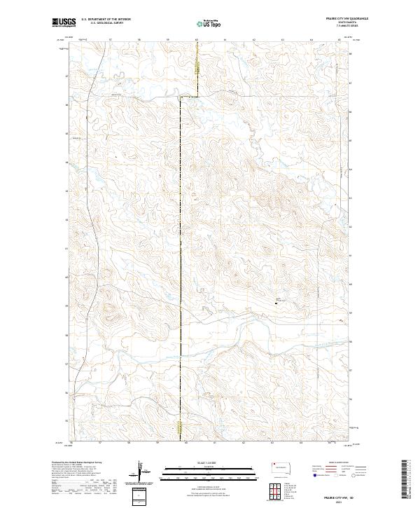 2021 Prairie City NW2021 Print · USGSHigh plains ranching and river drainage dominate this corner of the Dakota territory near the turn of the decade. Researchers can locate the Scion - Glendo Cem and trace the winding course of Big Nasty Cr as it feeds the South Fork Grand River.
 - 2021 Map of Faith SW, 2021 Print
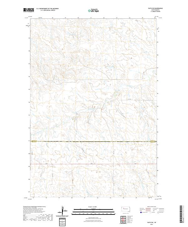 2021 Faith SW2021 Print · USGSThe western South Dakota prairie at the start of the 2020s shows a landscape defined by the drainage of Flint Rock Creek and Red Scaffold Creek. Researchers can trace the rural road network including Wagon Rd and Tower Rd as they intersect the Perkins-Meade county line.
 - 2021 Map of Chance, 2021 Print
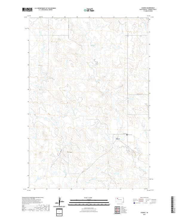 2021 Chance2021 Print · USGSPerkins County's rural landscape is captured here in the early 2020s, centered on the historic crossroads of Chance. Genealogists and local historians can locate the Chance Cem and trace the winding paths of Thunder Butte Cr and Hart Cr.
 - 2021 Map of Black Horse Butte NW, 2021 Print
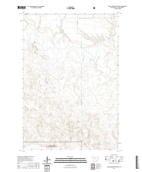 2021 Black Horse Butte NW2021 Print · USGSCorson County’s open prairie and river valleys are captured here as they appeared in 2021. Researchers can trace the winding course of the Grand River and the rural roads that cross the Grand River National Grassland.
 - 2021 Map of Haynes SE, 2021 Print
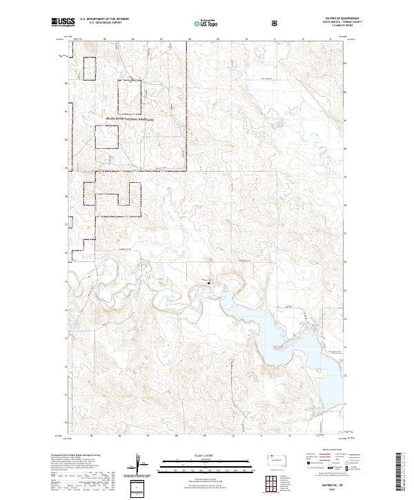 2021 Haynes SE2021 Print · USGSPerkins County's prairie and river systems are documented here in the early twenty-first century, showing the intersection of public lands and local waterways. Genealogists and historians can locate the Scholass Cem and trace the course of the North Fork Grand River past Johnson Dam.
 - 2021 Map of Coal Springs NW, 2021 Print
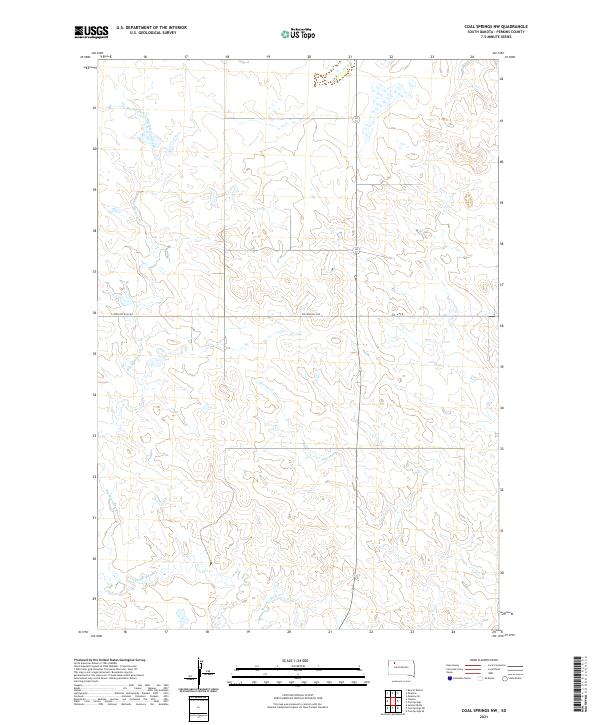 2021 Coal Springs NW2021 Print · USGSPerkins County's vast grassland and prairie drainage systems are captured here in the early twenty-first century. Genealogists and land researchers can trace property boundaries along Rolling Hills Rd and follow the natural meanders of Big Meadow Creek and Thunder Butte Cr.
 - 2021 Map of Little Nasty Creek, 2021 Print
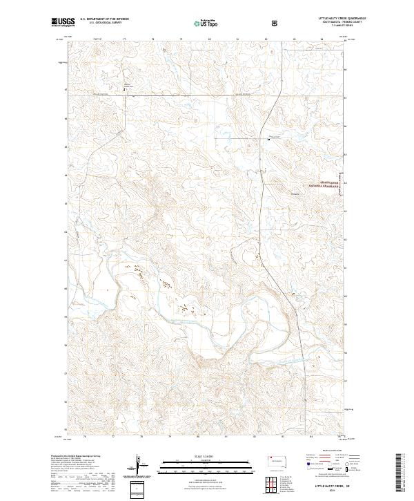 2021 Little Nasty Creek2021 Print · USGSPerkins County's high plains are captured here in the early twenty-first century as the prairie meets the winding South Fork Grand River. Family historians can locate specific sites like Holland Center Cemetery and Fredlund Cemetery near the Grand River National Grassland.
 - 2021 Map of Prairie City NE, 2021 Print
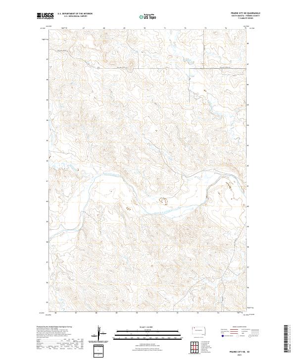 2021 Prairie City NE2021 Print · USGSThe Perkins County prairie is captured in this modern survey, showing a landscape shaped by the South Fork Grand River. Researchers can trace the drainage basins of Duck Creek and Big Nasty Cr alongside rural routes like Holland Center Rd.
 - 2021 Map of Maurine, 2021 Print
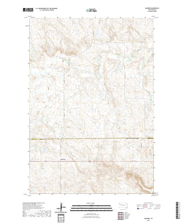 2021 Maurine2021 Print · USGSPerkins and Meade counties meet in this 2020s survey of the High Plains, centered on the rural crossroads of Maurine. Researchers can trace local drainage patterns and section roads like Bixby Rd while locating landmarks such as Maurine Lake and Fox Ridge.
 - 2021 Map of Coal Springs SE, 2021 Print
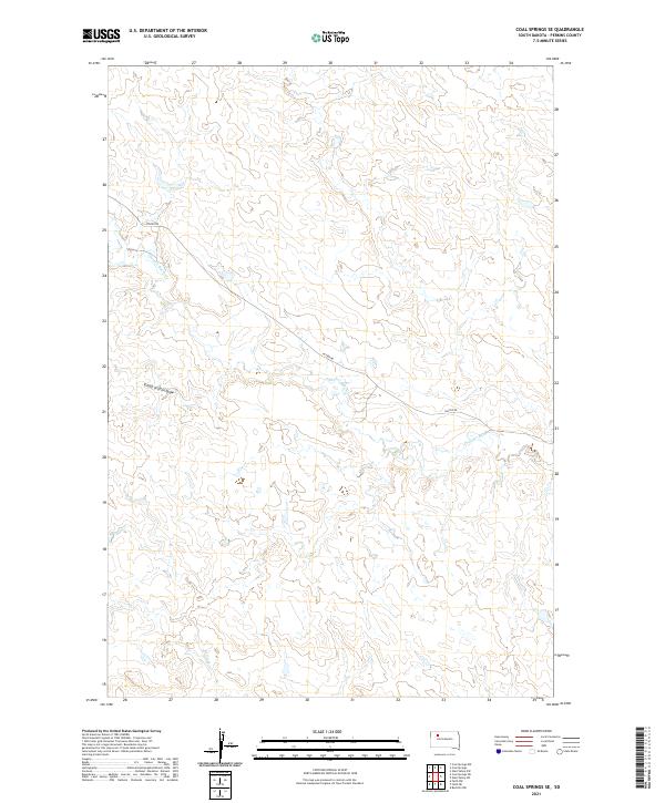 2021 Coal Springs SE2021 Print · USGSPerkins County, South Dakota, is captured in this recent survey of its rural prairie landscape. Researchers can trace the path of Foster Rd across the drainage of Thunder Butte Cr and locate topographic landmarks like School Section Draw.
 - 2021 Map of Owen Lake, 2021 Print
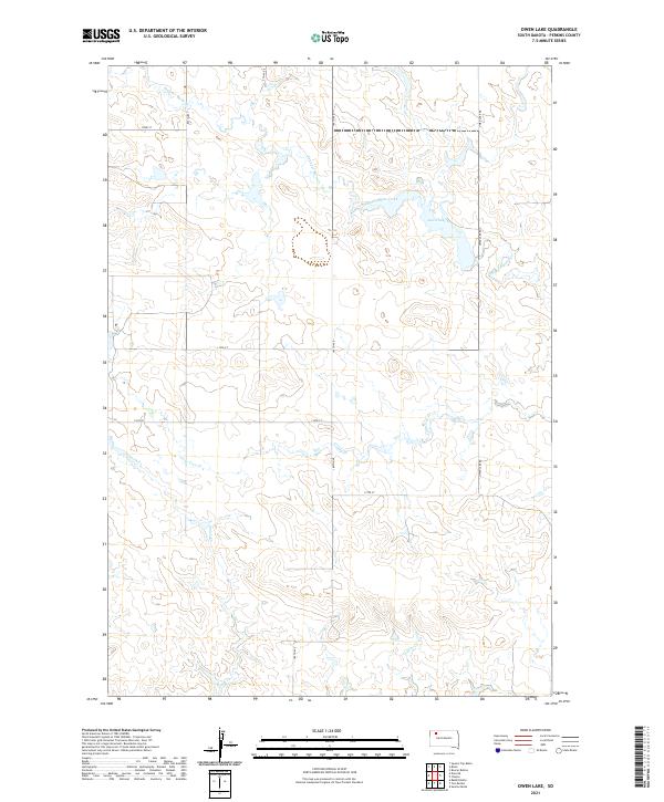 2021 Owen Lake2021 Print · USGSThe Perkins County high plains remain a landscape of wide-open ranch land and intermittent waterways in the early 2020s. Trace the rural grid and water sources like Owen Lake and Thunder Butte Creek to see how this corner of South Dakota is partitioned.
 - 2021 Map of Meadow, 2021 Print
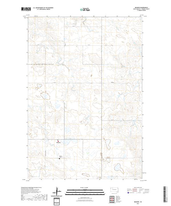 2021 Meadow2021 Print · USGSMeadow and the surrounding Perkins County ranchlands are captured here in the early twenty-first century. Genealogists and local historians can locate the Meadow Gallaway Cem and the Meadow Post Office while tracing the waters of Black Horse Butte Cr.
 - 2021 Map of Coal Springs, 2021 Print
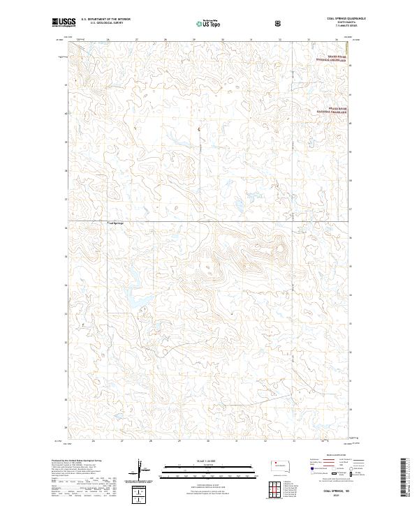 2021 Coal Springs2021 Print · USGSPerkins County, South Dakota, is captured here in the early 2020s, showcasing a rural prairie landscape defined by its ranching corridors and public lands. Researchers can locate the settlement of Coal Springs and trace the paths of Darling Cr and Line Cr through the Grand River National Grassland.
 - 2021 Map of Faith NW, 2021 Print
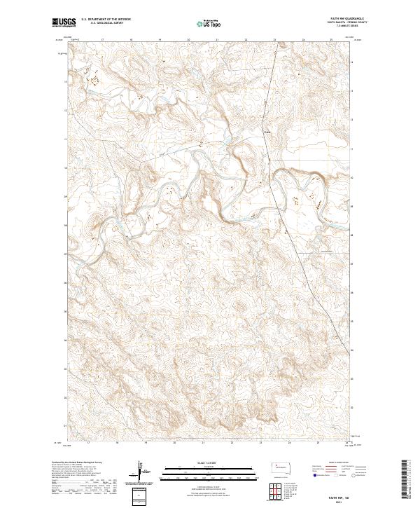 2021 Faith NW2021 Print · USGSPerkins County in the 2020s remains a region of quiet drainages and vast rangeland centered on the Moreau River. Researchers can trace the rural landscape around Usta, following the paths of Rabbit Cr and Deep Cr across the plains.
 - 2021 Map of Signal Butte, 2021 Print
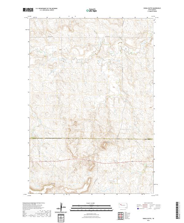 2021 Signal Butte2021 Print · USGSThe Perkins and Meade county line stretches across this South Dakota landscape in the early 2020s, dominated by the prominent Signal Butte. Researchers can trace the high ground of Fox Ridge and follow local routes like Cottonwood Rd across the drainages of Deep Cr.
 - 2021 Map of Two Buttes, 2021 Print
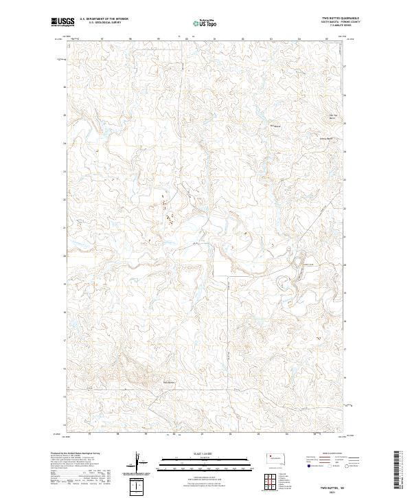 2021 Two Buttes2021 Print · USGSPerkins County in the early 2020s remains a landscape of prominent high-plains landmarks and seasonal creek beds. Modern researchers can trace the drainage of Rabbit Cr and locate isolated summits like Two Buttes and Flat Top Butte.
 - 2021 Map of Zeona, 2021 Print
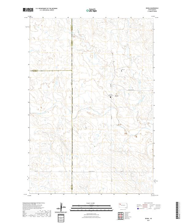 2021 Zeona2021 Print · USGSPerkins County in the early 2020s shows a landscape of cattle ranching and scattered settlements near the confluence of the Moreau River. You can locate the Zeona community and trace local family history at Immanuel Lutheran Cem or Ruby Cem.
 - 2021 Map of Sorum SW, 2021 Print
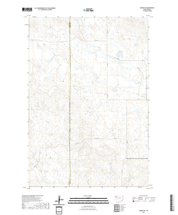 2021 Sorum SW2021 Print · USGSThe northwestern South Dakota prairie is captured here as a landscape of section-line roads and seasonal watercourses. Researchers can trace land divisions and local routes like Zeona Rd, Marty Rd, and the headwaters of Antelope Cr.
 - 2021 Map of Zeona NE, 2021 Print
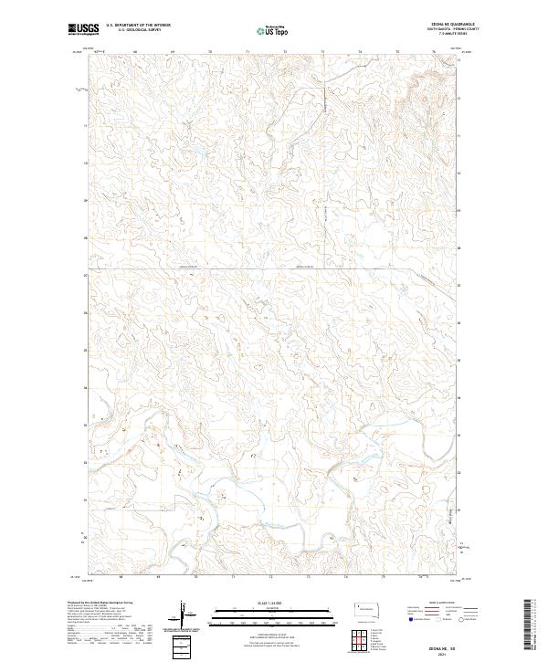 2021 Zeona NE2021 Print · USGSPerkins County, South Dakota, is captured here in the early 2020s, showing the critical junction of the river forks and remote rural roads. Researchers can trace the winding course of the Moreau River and locate landmarks along Moreau River Rd or Dillon Draw.
Showing maps 1-25 of 68
Top cities of Perkins County
- Lemmon historical maps
- Bison historical maps
- Strool historical maps
- Lodgepole historical maps
- Chance historical maps
- Meadow historical maps
See more
Frequently asked questions
- What are the different types of historical maps available for Perkins County?
- What is the oldest map of Perkins County?
- Where can I purchase historical maps of Perkins County for my home or office?
- Where can I download high-res historical maps of Perkins County?
- Are there historical topographic maps available for Perkins County?
- Is there historical aerial imagery available for Perkins County?
- Where are historical maps of Perkins County sourced from?