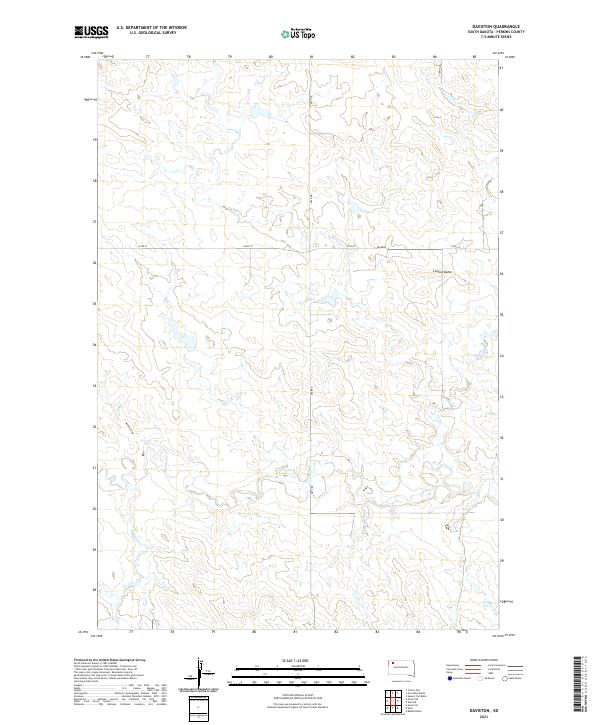
2021 Map of Daviston
USGS Topo · Published 2021About this map
Daviston and the high plains of Perkins County define this rural landscape as documented in the early 2020s. This area is characterized by an intricate drainage system, where the waters of Rabbit Cr wind through the southern sections of the quadrangle, joined by smaller tributaries like Mallory Draw and Peggy Cr. The topography is punctuated by prominent landforms, most notably Lotties Butte in the northeast, which provides a vertical counterpoint to the surrounding prairie. This USGS survey highlights the grid-based settlement pattern of the region, anchored by the intersection of 134th St and Date Rd. The map offers a clear view of the sprawling ranching landscape, showing the relationship between isolated homesteads and the natural watercourses that have historically dictated the placement of infrastructure and settlements in this part of South Dakota.
Find a feature on this map
14 named features on this map. Tap any name to fly to it.
Don’t see what you’re looking for? This feature index may not catch every label — zoom into the map to look around manually.
Map Details
Editions of this 2021 Daviston Map
This is the sole edition of this map. No revisions or reprints were ever made.
Other maps of this area

1954 · Lemmon
USGS Topo · 1:250,000

1957 · Lemmon
USGS Topo · 1:250,000

1983 · Grandmas Butte
USGS Topo · 1:24,000

1983 · Rabbit Butte
USGS Topo · 1:24,000

1983 · Square Top Butte
USGS Topo · 1:24,000

1983 · Sorum NE
USGS Topo · 1:24,000

1983 · Date NE
USGS Topo · 1:24,000

1983 · Date
USGS Topo · 1:24,000

1983 · Sorum SE
USGS Topo · 1:24,000

1983 · Daviston
USGS Topo · 1:24,000