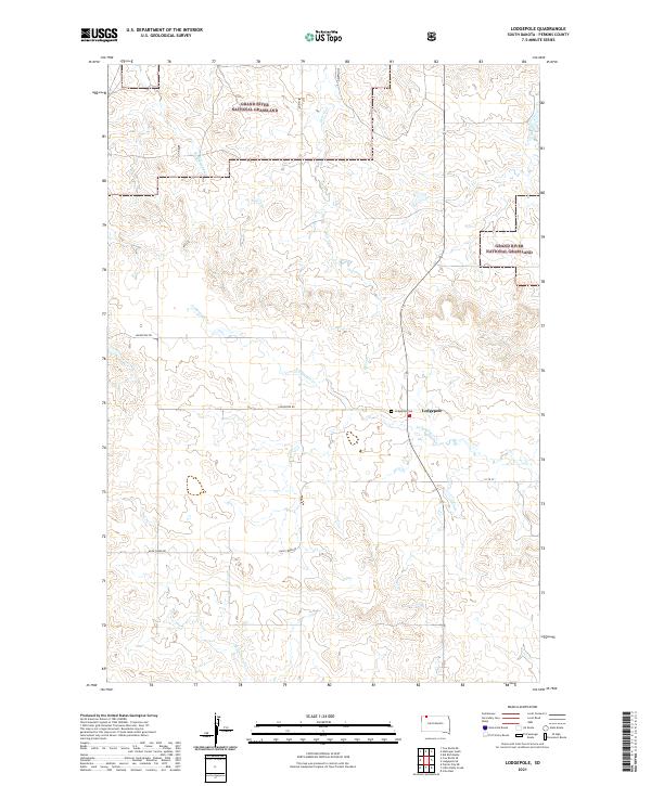
2021 Map of Lodgepole
USGS Topo · Published 2021About this map
The Lodgepole settlement and its surrounding prairie landscape are defined by the winding paths of several intermittent waterways, including Lodgepole Cr and Deer Cr. Large portions of the territory are managed as part of the Grand River National Grassland, highlighting the region's dedication to conservation and livestock grazing. This 2021 survey reveals a sparse but deliberate network of section-line roads like Lodgepole Rd and 111th St that connect isolated homesteads and ranching operations.
Find a feature on this map
15 named features on this map. Tap any name to fly to it.
Don’t see what you’re looking for? This feature index may not catch every label — zoom into the map to look around manually.
Map Details
Editions of this 2021 Lodgepole Map
This is the sole edition of this map. No revisions or reprints were ever made.
Other maps of this area

1954 · Lemmon
USGS Topo · 1:250,000

1957 · Lemmon
USGS Topo · 1:250,000

1974 · Hettinger South
USGS Topo · 1:24,000

1974 · Cow Butte NE
USGS Topo · 1:24,000

1974 · Kid Rich Butte
USGS Topo · 1:24,000

1983 · Cow Butte SE
USGS Topo · 1:24,000

1983 · Lodgepole SE
USGS Topo · 1:24,000

1983 · Prairie City NE
USGS Topo · 1:24,000

1983 · Cole Dam
USGS Topo · 1:24,000

1983 · Little Nasty Creek
USGS Topo · 1:24,000