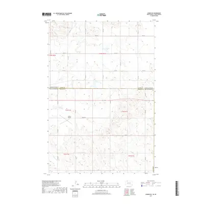
2017 Map of Lemmon NE
USGS Topo · Published 2017About this map
The state line between North Dakota and South Dakota bisects this prairie landscape, where the flat upland terrain of Adams and Perkins Counties meets a network of seasonal drainages. The most prominent industrial feature is the Lemmon Municipal Airport, which occupies several sections of land south of the boundary. The topography is defined by the winding course of Plum Cr in the north and Thunder Hawk Cr in the southwest, while Township Lake sits as a quiet landmark amidst the section-line road grid. The map reveals the rigid geometry of the Public Land Survey System, with local routes like Riedy Rd and 196th Ave following the township and range lines through this remote agricultural corridor.
Find a feature on this map
27 named features on this map. Tap any name to fly to it.
Don’t see what you’re looking for? This feature index may not catch every label — zoom into the map to look around manually.
Map Details
Editions of this 2017 Lemmon NE Map
This is the sole edition of this map. No revisions or reprints were ever made.
Other maps of this area

1953 · McIntosh
USGS Topo · 1:250,000

1953 · Dickinson
USGS Topo · 1:250,000

1954 · Lemmon
USGS Topo · 1:250,000

1954 · Bismarck
USGS Topo · 1:250,000

1957 · Dickinson
USGS Topo · 1:250,000

1957 · Lemmon
USGS Topo · 1:250,000

1958 · Bismarck
USGS Topo · 1:250,000

1958 · McIntosh
USGS Topo · 1:250,000

1972 · Round Top
USGS Topo · 1:24,000

1972 · Thunder Hawk SW
USGS Topo · 1:24,000