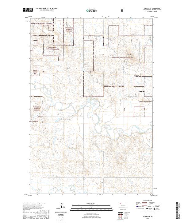
2021 Map of Haynes SW
USGS Topo · Published 2021About this map
Grand River National Grassland dominates this section of Perkins County, where the wide meanders of the North Fork Grand River carve through a landscape defined by federal land management and open range. The river is fed by smaller tributaries like Giles Cr and Lodgepole Creek, reflecting the essential water-security patterns of the northern plains. Near the eastern edge, White Butte rises as a prominent landmark above the surrounding terrain, while Johnson Dam represents the vital infrastructure required for livestock and land stability in this arid environment. The road network, including Haynes Rd and Pasture 5A Rd, follows the section lines of the Public Land Survey System, providing access across the expansive Grand River NG blocks. This 2021 survey illustrates how the region's geography remains centered on grazing and water management within the broader Missouri River watershed.
Find a feature on this map
17 named features on this map. Tap any name to fly to it.
Don’t see what you’re looking for? This feature index may not catch every label — zoom into the map to look around manually.
Map Details
Editions of this 2021 Haynes SW Map
This is the sole edition of this map. No revisions or reprints were ever made.
Other maps of this area

1954 · Lemmon
USGS Topo · 1:250,000

1957 · Lemmon
USGS Topo · 1:250,000

1974 · White Butte
USGS Topo · 1:24,000

1974 · Kid Rich Butte
USGS Topo · 1:24,000

1974 · Haynes
USGS Topo · 1:24,000

1983 · Lodgepole SE
USGS Topo · 1:24,000

1983 · Haynes SE
USGS Topo · 1:24,000

1983 · Bison NE
USGS Topo · 1:24,000

1983 · Cole Dam
USGS Topo · 1:24,000

1983 · Bison NW
USGS Topo · 1:24,000