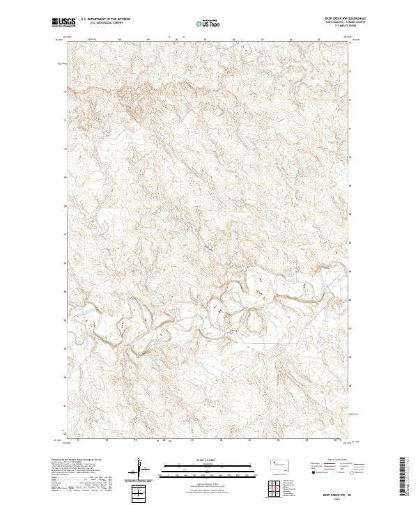
2021 Map of Deep Creek NW
USGS Topo · Published 2021About this map
The Moreau River meanders across this rural section of Perkins County, defining a landscape shaped by significant drainage patterns like Swan Draw. This 2021 survey illustrates the vast open space of western South Dakota, where the Public Land Survey System (PLSS) grid remains the primary organizing feature for the territory. The township boundaries, including t14n r14e and t13n r13e, segment the terrain into the traditional sections used for homesteading and grazing since the era of frontier settlement. Aside from Cottonwood Rd cutting through the southeastern corner, the area is notably devoid of dense infrastructure, highlighting the remote and undisturbed nature of the northern plains. This map is an essential reference for understanding contemporary land management and the enduring topography of the Moreau River basin.
Find a feature on this map
8 named features on this map. Tap any name to fly to it.
Don’t see what you’re looking for? This feature index may not catch every label — zoom into the map to look around manually.
Map Details
Editions of this 2021 Deep Creek NW Map
This is the sole edition of this map. No revisions or reprints were ever made.
Other maps of this area

1951 · Maurine
USGS Topo · 1:24,000

1951 · Deep Creek NW
USGS Topo · 1:24,000

1951 · Bixby
USGS Topo · 1:24,000

1952 · Deep Creek SE
USGS Topo · 1:24,000

1952 · Signal Butte
USGS Topo · 1:24,000

1952 · Deep Creek NE
USGS Topo · 1:24,000

1954 · Lemmon
USGS Topo · 1:250,000

1957 · Lemmon
USGS Topo · 1:250,000

1983 · Rabbit Butte
USGS Topo · 1:24,000

1983 · Sunrise Butte
USGS Topo · 1:24,000