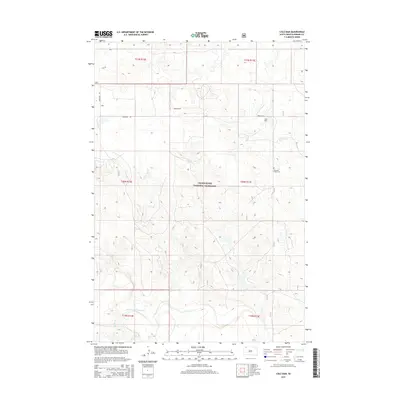
2015 Map of Cole Dam
USGS Topo · Published 2015About this map
The Grand River National Grassland dominates this portion of Perkins County, where the high plains of South Dakota transition into the watershed of the South Fork Grand River. This 2015 survey illustrates a sparsely populated ranching landscape defined by expansive public grazing lands and deep-cut drainages. The rural character of the region is anchored by the Pleasant Valley Cem and the naming of Fredlund Rd, which suggest a history of family-based land claims typical of the western Dakota plains.
Find a feature on this map
13 named features on this map. Tap any name to fly to it.
Don’t see what you’re looking for? This feature index may not catch every label — zoom into the map to look around manually.
Map Details
Editions of this 2015 Cole Dam Map
This is the sole edition of this map. No revisions or reprints were ever made.
Other maps of this area

1954 · Lemmon
USGS Topo · 1:250,000

1957 · Lemmon
USGS Topo · 1:250,000

1983 · Grandmas Butte
USGS Topo · 1:24,000

1983 · Lodgepole SE
USGS Topo · 1:24,000

1983 · Square Top Butte
USGS Topo · 1:24,000

1983 · Bison
USGS Topo · 1:24,000

1983 · Cole Dam
USGS Topo · 1:24,000

1983 · Little Nasty Creek
USGS Topo · 1:24,000

1983 · Bison NW
USGS Topo · 1:24,000
1983 · Haynes SW
USGS Topo · 1:24,000