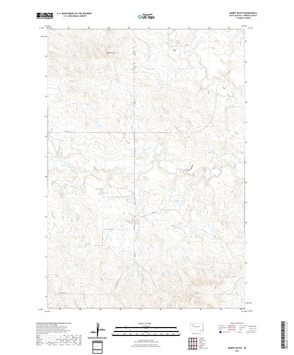
2021 Map of Rabbit Butte
USGS Topo · Published 2021About this map
Rabbit Butte stands as a prominent landmark in this section of Perkins County, rising above a landscape defined by the drainage patterns of Rabbit Cr and Antelope Cr. The terrain reflects a sprawling ranching and agricultural character, organized by the Public Land Survey System across townships T16N R12E and T16N R13E. Connectivity in this sparsely populated area is maintained through a network of section-line roads and named routes including Bixby Rd and Ridgeview Rd. The orientation of these paths, such as Usta Rd and Drew Rd, reveals how the modern rural infrastructure navigates the breaks and coulees typical of the western South Dakota plains. This map captures the intersection of high prairie topography with the persistent grid of local travel, centered around the distinctive form of the butte itself.
Find a feature on this map
12 named features on this map. Tap any name to fly to it.
Don’t see what you’re looking for? This feature index may not catch every label — zoom into the map to look around manually.
Map Details
Editions of this 2021 Rabbit Butte Map
This is the sole edition of this map. No revisions or reprints were ever made.
Other maps of this area

1951 · Imogene
USGS Topo · 1:24,000

1951 · Deep Creek NW
USGS Topo · 1:24,000

1951 · Bixby
USGS Topo · 1:24,000

1954 · Lemmon
USGS Topo · 1:250,000

1957 · Lemmon
USGS Topo · 1:250,000

1983 · Rabbit Butte
USGS Topo · 1:24,000

1983 · Date NE
USGS Topo · 1:24,000

1983 · Date
USGS Topo · 1:24,000

1983 · Daviston
USGS Topo · 1:24,000

1983 · Owen Lake
USGS Topo · 1:24,000