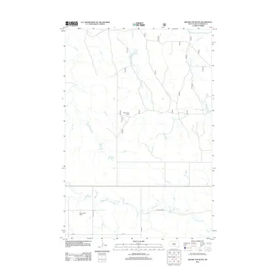
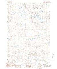
2012 Map of Square Top Butte
USGS Topo · Published 2012About this map
Square Top Butte and Scotch Cap Butte anchor this high-plains landscape in Perkins County, where the topography is defined by the drainage systems of the S Fork Grand River. The map illustrates a sparse network of section-line roads and named routes including Scotch Cap Rd and Bixby Rd, providing access to this cattle-ranching region. Several meandering waterways, including Snake Cr, Defanball Cr, and Timber Draw Cr, carve through the terrain, illustrating the hydrological patterns of the western South Dakota prairie. The presence of Golf Course Rd and 131st St in the southern portion of the quadrangle highlights the few established transit corridors through an otherwise open and undeveloped expanse, while Thunder Butte Cr flows across the southern boundary near the buttes that give the area its character.
Find a feature on this map
11 named features on this map. Tap any name to fly to it.
Don’t see what you’re looking for? This feature index may not catch every label — zoom into the map to look around manually.
Map Details
Editions of this 2012 Square Top Butte Map
This is the sole edition of this map. No revisions or reprints were ever made.
Other maps of this area

1954 · Lemmon
USGS Topo · 1:250,000

1957 · Lemmon
USGS Topo · 1:250,000
1983 · Grandmas Butte
USGS Topo · 1:24,000
1983 · Square Top Butte
USGS Topo · 1:24,000
1983 · Bison
USGS Topo · 1:24,000
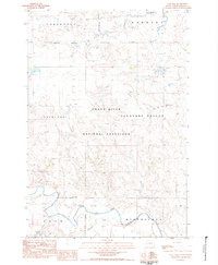
1983 · Cole Dam
USGS Topo · 1:24,000
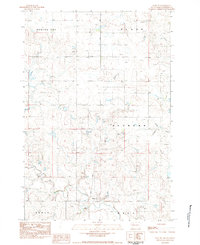
1983 · Date NE
USGS Topo · 1:24,000
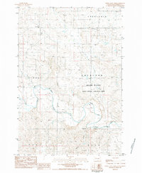
1983 · Little Nasty Creek
USGS Topo · 1:24,000
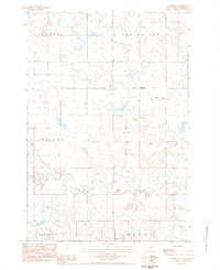
1983 · Daviston
USGS Topo · 1:24,000
1983 · Owen Lake
USGS Topo · 1:24,000