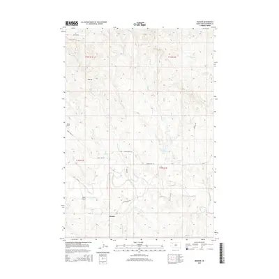
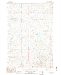
2015 Map of Imogene
USGS Topo · Published 2015About this map
Imogene sits as a quiet focal point in this Perkins County landscape, where the high plains meet the intricate drainage systems of the Moreau River. The topography is defined by a dense network of intermittent creeks including Cottonwood Cr, Brushy Cr, and Cabin Cr, which carve through the terrain near the Badlands formation in the northwest. This 2015 survey illustrates a rural infrastructure centered on ranching and land management, with named routes like Blair Brothers Rd and Cedar Canyon Rd providing access across the expansive sections.
Find a feature on this map
27 named features on this map. Tap any name to fly to it.
Don’t see what you’re looking for? This feature index may not catch every label — zoom into the map to look around manually.
Map Details
Editions of this 2015 Imogene Map
This is the sole edition of this map. No revisions or reprints were ever made.
Other maps of this area
1951 · Cedar Canyon
USGS Topo · 1:24,000
1951 · Maurine
USGS Topo · 1:24,000
1951 · Imogene
USGS Topo · 1:24,000
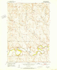
1951 · Bixby
USGS Topo · 1:24,000

1954 · Lemmon
USGS Topo · 1:250,000

1957 · Lemmon
USGS Topo · 1:250,000
1980 · Beverly Creek
USGS Topo · 1:25,000
1980 · Zeona
USGS Topo · 1:25,000
1983 · Rabbit Butte
USGS Topo · 1:24,000
1983 · Date
USGS Topo · 1:24,000