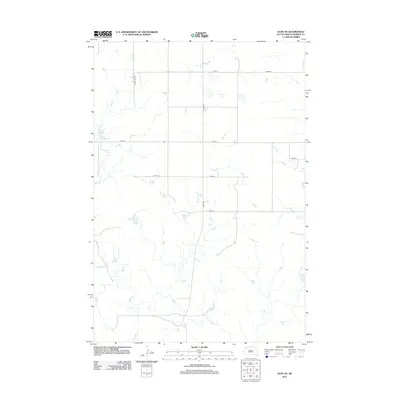
2012 Map of Date NE
USGS Topo · Published 2012About this map
Rabbit Cr winds through the expansive prairie landscape of Perkins County, defining the drainage patterns of this sparsely settled corner of South Dakota. In this high plains environment, the land is etched by seasonal watercourses like Cone Tree Cr and Smith Cr, which follow meandering paths across the open terrain. The mapping reveals a strictly organized grid of section lines and gravel roads, including Bixby Rd and Scotch Cap Rd, which facilitate ranching and land management in an area where distances between homesteads are significant. The lack of concentrated town sites emphasizes the agricultural nature of the region, where the primary infrastructure consists of these essential transport corridors and the natural hydrology that sustains local livestock.
Find a feature on this map
11 named features on this map. Tap any name to fly to it.
Don’t see what you’re looking for? This feature index may not catch every label — zoom into the map to look around manually.
Map Details
Editions of this 2012 Date NE Map
This is the sole edition of this map. No revisions or reprints were ever made.
Other maps of this area

1954 · Lemmon
USGS Topo · 1:250,000

1957 · Lemmon
USGS Topo · 1:250,000

1983 · Grandmas Butte
USGS Topo · 1:24,000

1983 · Rabbit Butte
USGS Topo · 1:24,000

1983 · Square Top Butte
USGS Topo · 1:24,000

1983 · Bison
USGS Topo · 1:24,000

1983 · Date NE
USGS Topo · 1:24,000

1983 · Date
USGS Topo · 1:24,000

1983 · Daviston
USGS Topo · 1:24,000

1983 · Owen Lake
USGS Topo · 1:24,000