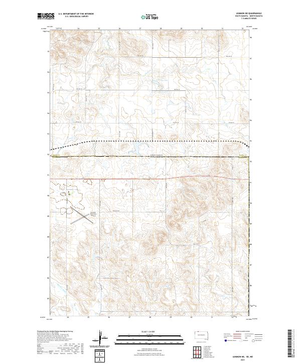
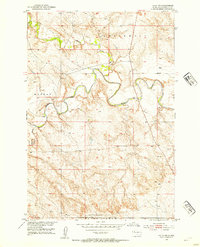
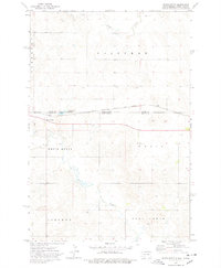
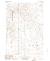
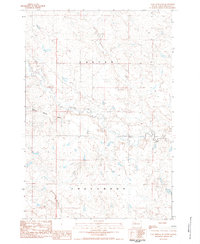
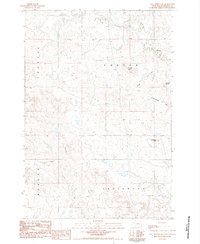
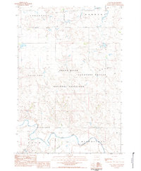
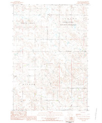
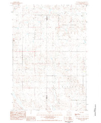
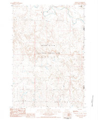
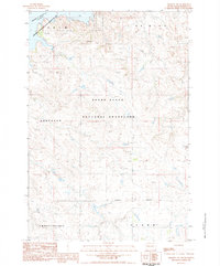
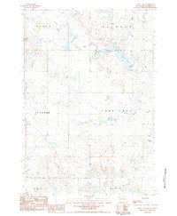
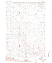
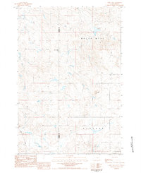
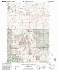
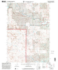
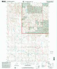
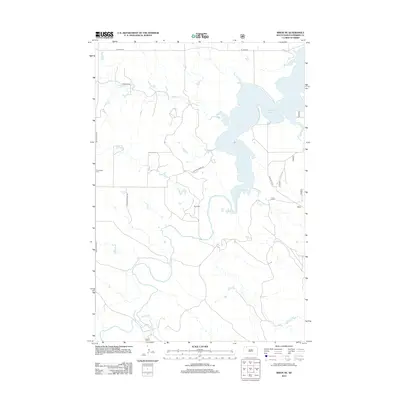
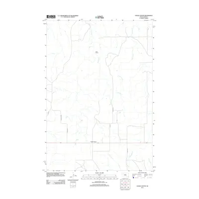
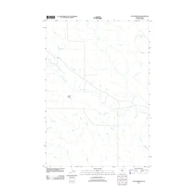
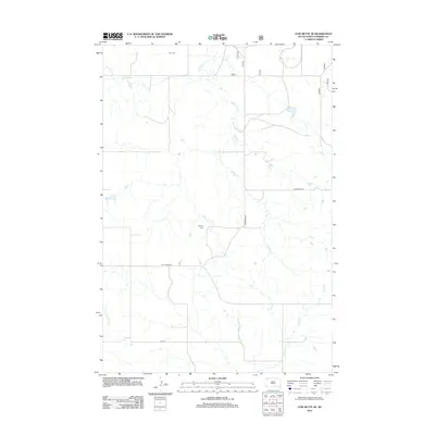
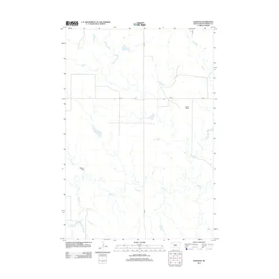
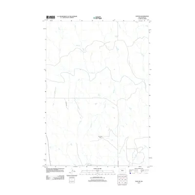
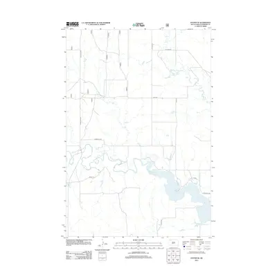
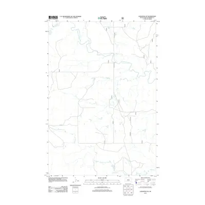
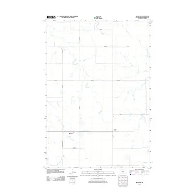
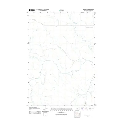
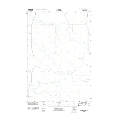
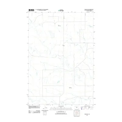
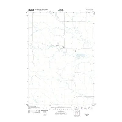
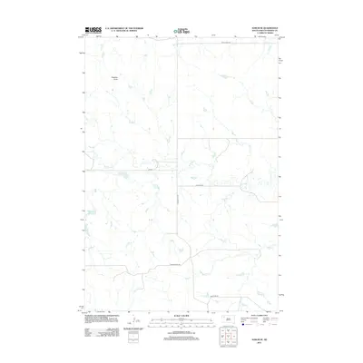
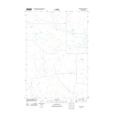
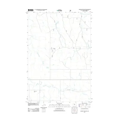
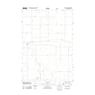
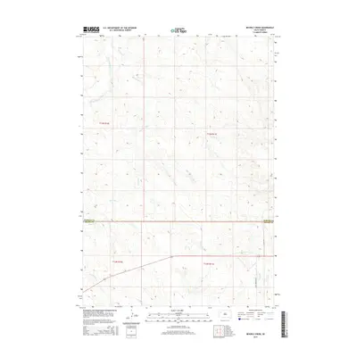
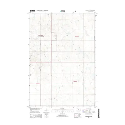
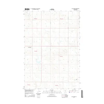
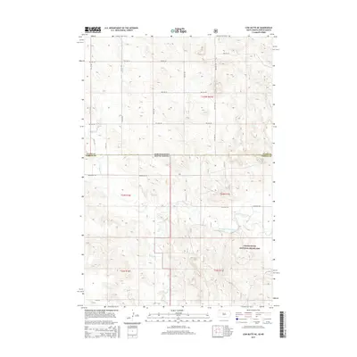
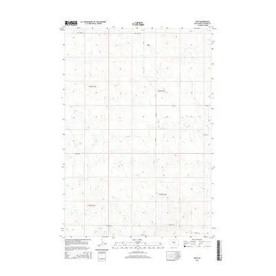
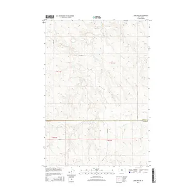
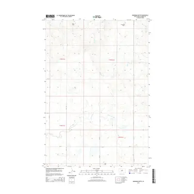
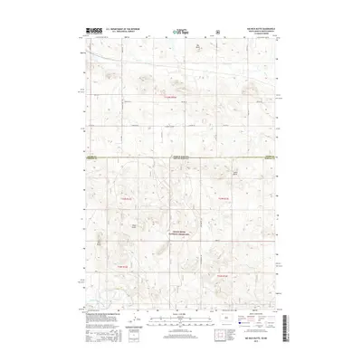
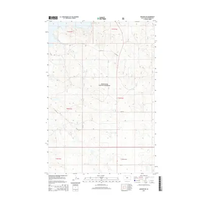
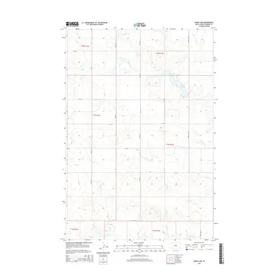
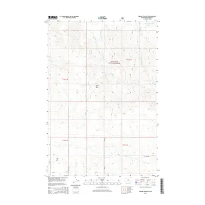
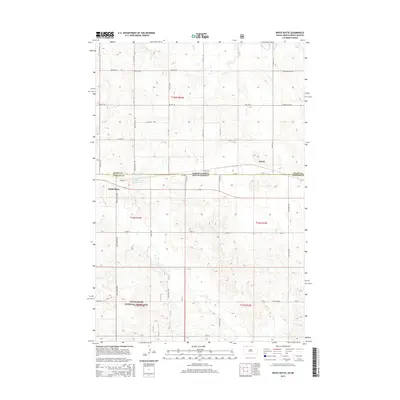
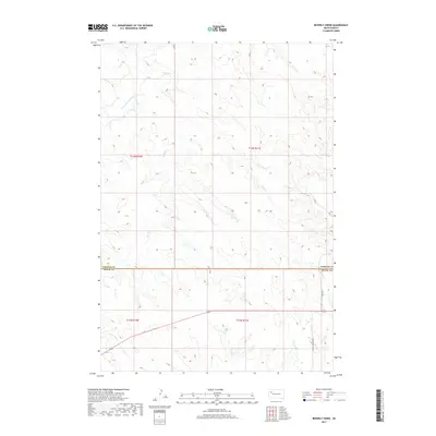
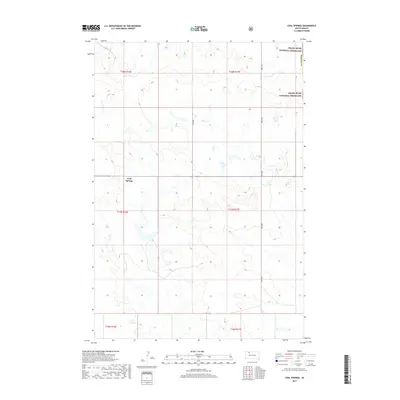
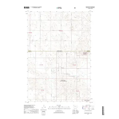
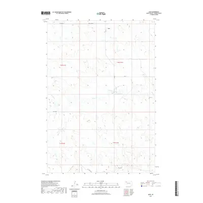
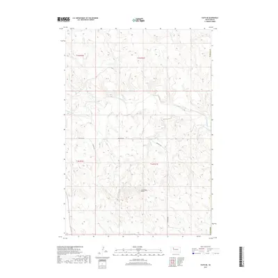
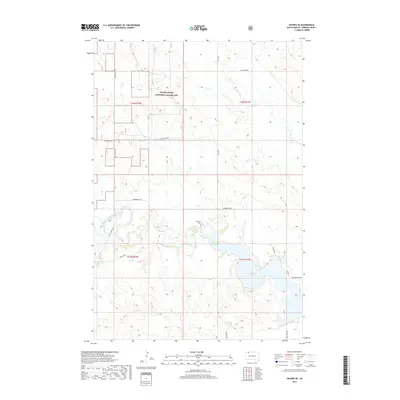
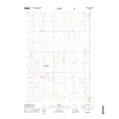
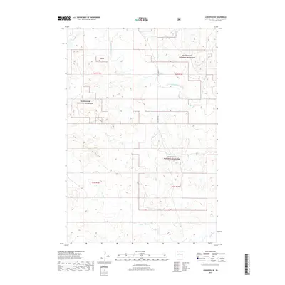
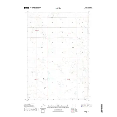
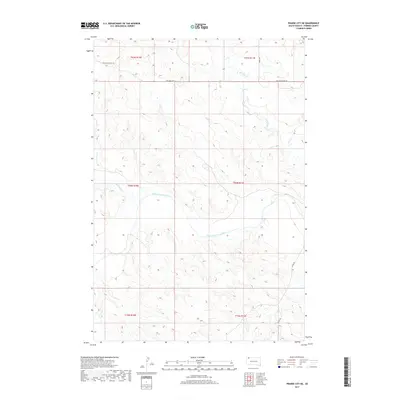
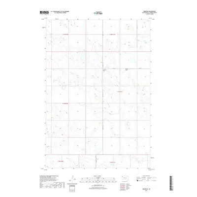
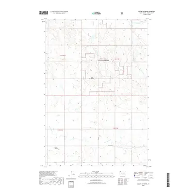
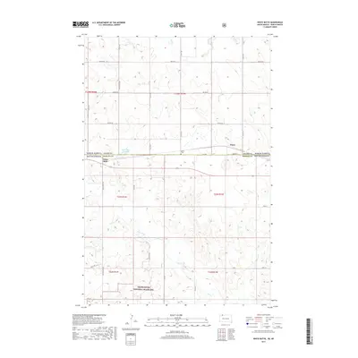
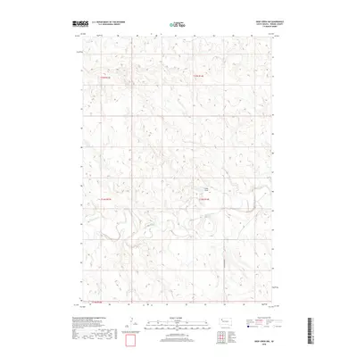
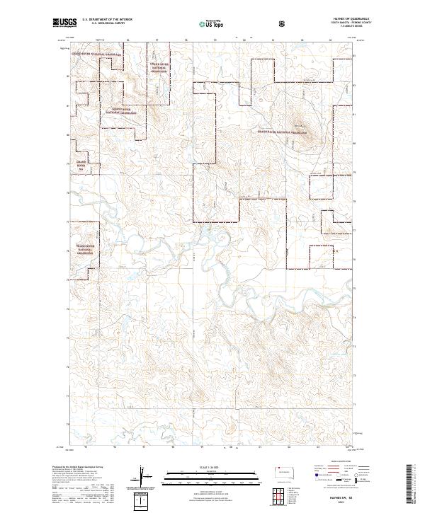
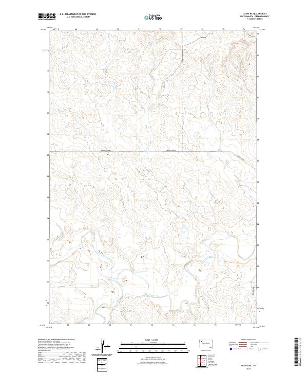
2021 Map of Lemmon NE
USGS Topo · Published 2021About this map
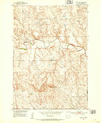
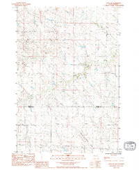
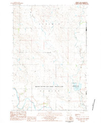
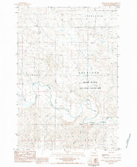
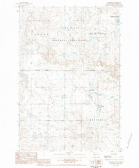
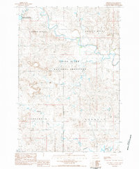
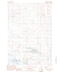
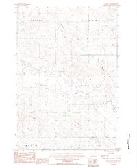
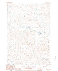
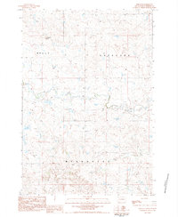
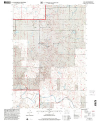
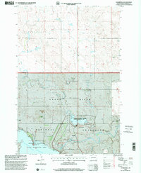
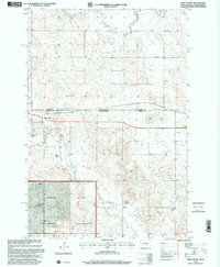
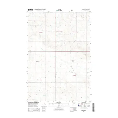
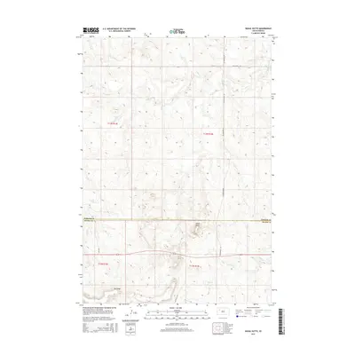
The North Dakota South Dakota border divides this high-plains landscape, where the geography is defined by broad section lines and intermittent watercourses. In the western portion of the map, the Lemmon Municipal Airport sits just south of the state line, served by Airport Rd. The terrain is marked by the winding paths of Plum Cr and Thunder Hawk Cr, which cut through the open country. Local infrastructure reflects a traditional grid system of rural routes, including Township Rd and Riedy Rd, connecting the scattered homesteads and agricultural tracts. Small bodies of water like Township Lake provide rare catchments in an area otherwise characterized by long vistas and high-elevation prairie drainage patterns.
Find a feature on this map
27 named features on this map. Tap any name to fly to it.
Don’t see what you’re looking for? This feature index may not catch every label — zoom into the map to look around manually.
Map Details
Editions of this 2021 Lemmon NE Map
This is the sole edition of this map. No revisions or reprints were ever made.
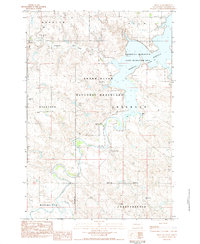
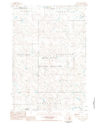
Historical Maps of Rock Creek District Through Time
301 maps found
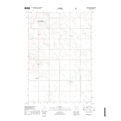
1951 Bixby
Perkins County, SD
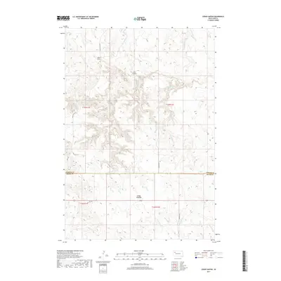
1951 Cedar Canyon
Perkins County, SD
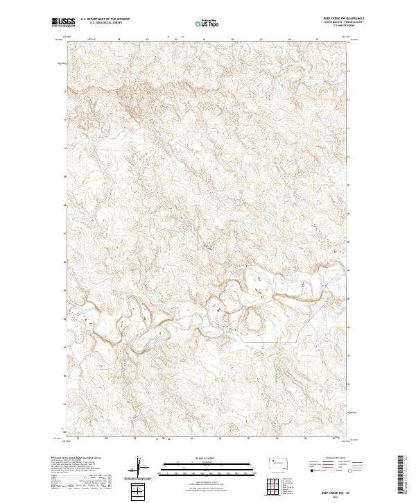
1951 Deep Creek NW
Perkins County, SD
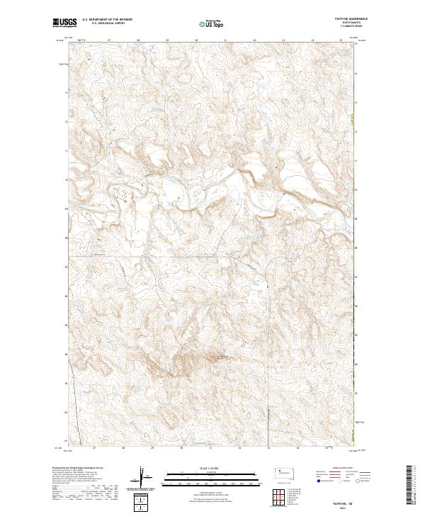
1951 Faith NE
Perkins County, SD
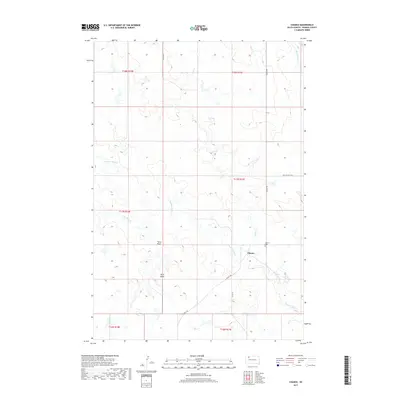
1951 Imogene
Perkins County, SD

1951 Maurine
Perkins County, SD
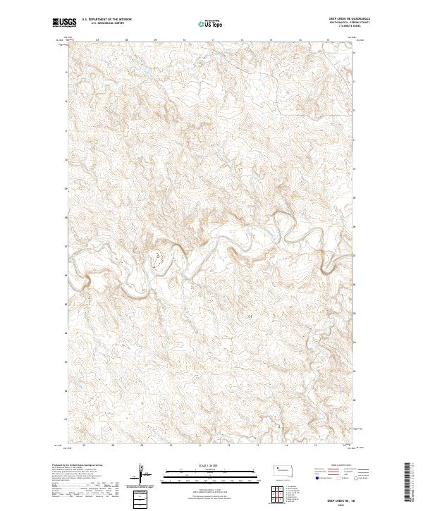
1952 Deep Creek NE
Perkins County, SD
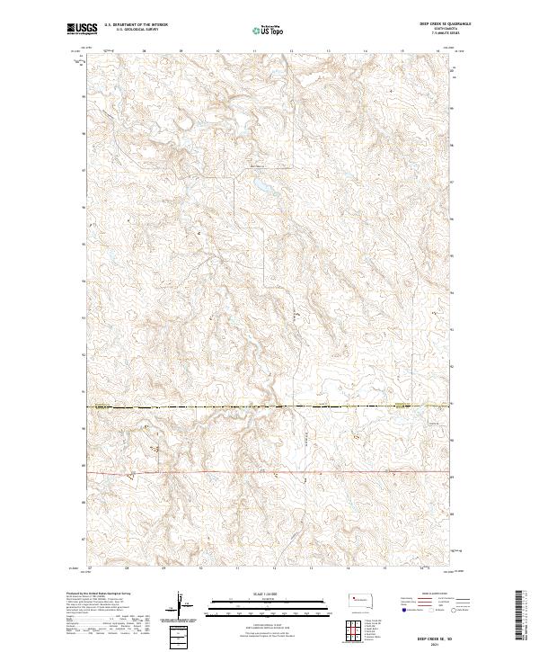
1952 Deep Creek SE
Perkins County, SD
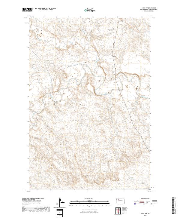
1952 Faith NW
Perkins County, SD
1952 Signal Butte
Perkins County, SD
1974 Kid Rich Butte
Perkins County, SD
1974 Lemmon NE
Perkins County, SD
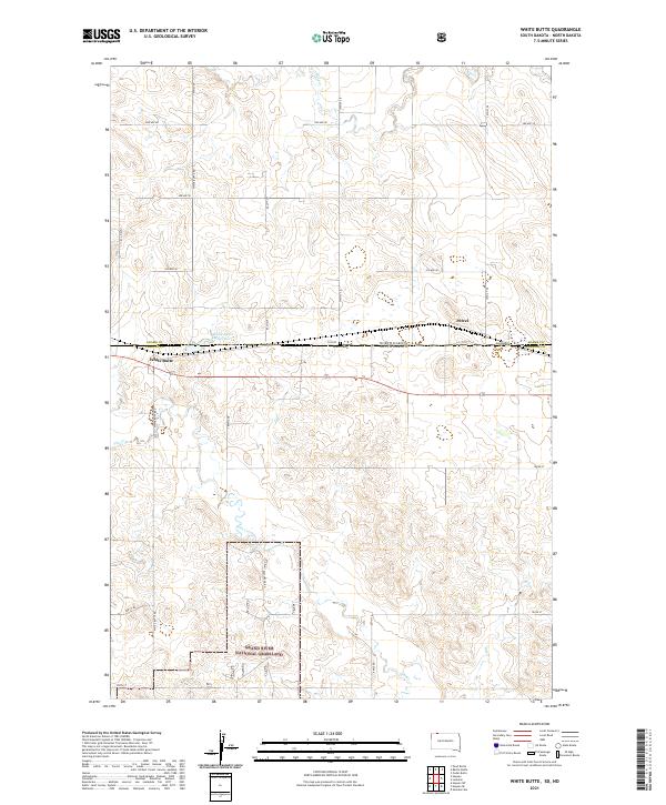
1974 White Butte
Perkins County, SD

1980 Beverly Creek
Perkins County, SD
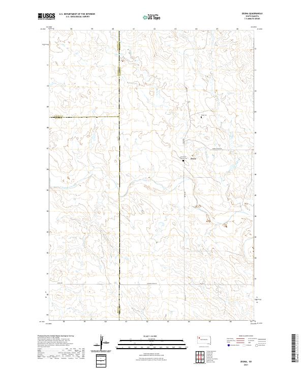
1980 Zeona
Perkins County, SD
1983 Bison NE
Perkins County, SD
1983 Bison NW
Perkins County, SD
1983 Boxcar Buttes
Perkins County, SD
1983 Chance
Perkins County, SD
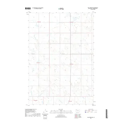
1983 Coal Springs NW
Perkins County, SD
1983 Coal Springs
Perkins County, SD
1983 Coal Springs SE
Perkins County, SD
1983 Coal Springs SW
Perkins County, SD
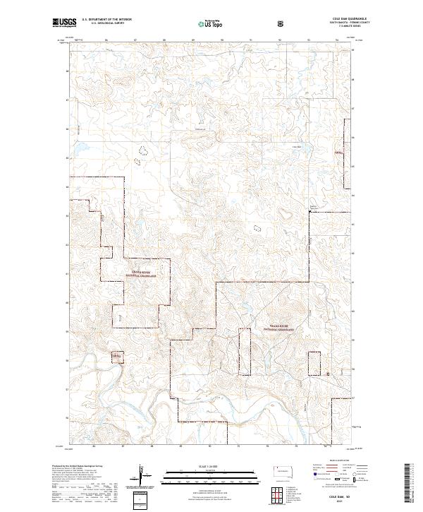
1983 Cole Dam
Perkins County, SD
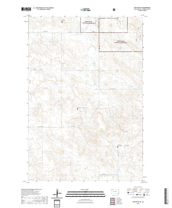
1983 Cow Butte SE
Perkins County, SD
1983 Cow Butte SW
Perkins County, SD
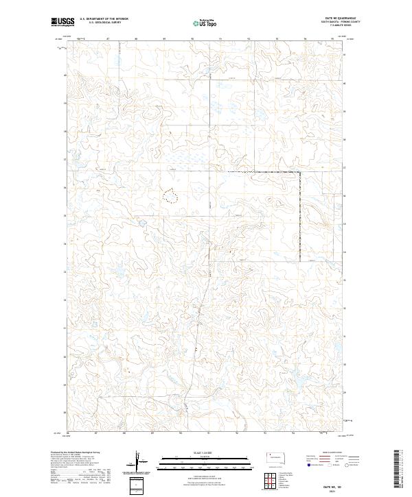
1983 Date NE
Perkins County, SD
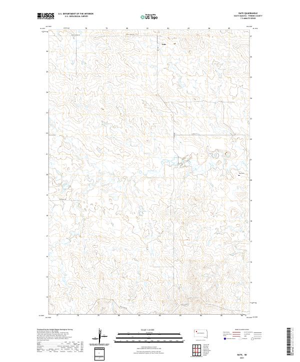
1983 Date
Perkins County, SD
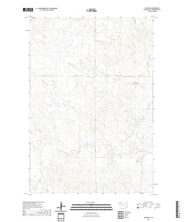
1983 Daviston
Perkins County, SD
1983 Faith SW
Perkins County, SD
1983 Grandmas Butte
Perkins County, SD
1983 Haynes SE
Perkins County, SD
1983 Haynes SW
Perkins County, SD
1983 Lemmon Lake
Perkins County, SD
1983 Little Nasty Creek
Perkins County, SD
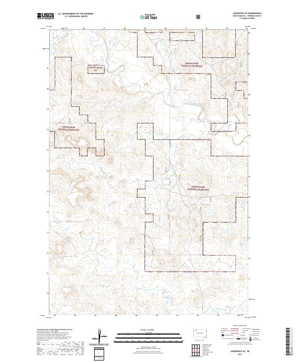
1983 Lodgepole
Perkins County, SD
1983 Lodgepole SE
Perkins County, SD
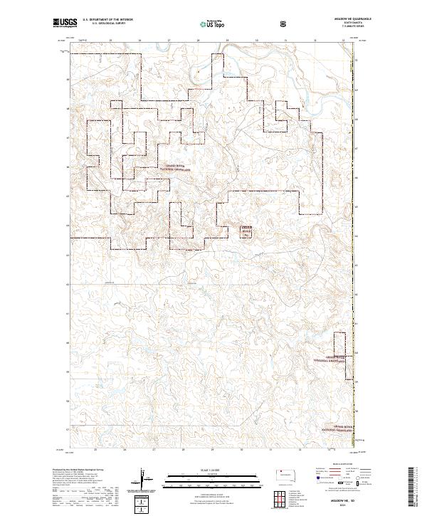
1983 Meadow NE
Perkins County, SD
1983 Meadow NW
Perkins County, SD
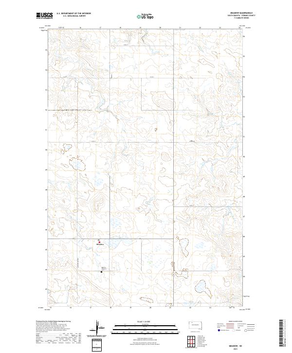
1983 Meadow
Perkins County, SD
1983 Meadow SE
Perkins County, SD
1983 Owen Lake
Perkins County, SD
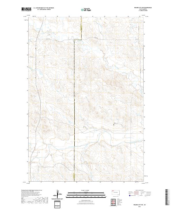
1983 Prairie City NE
Perkins County, SD
1983 Prairie City NW
Perkins County, SD
1983 Rabbit Butte
Perkins County, SD
1983 Sommerville
Perkins County, SD
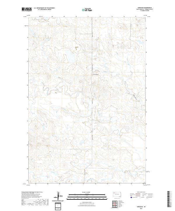
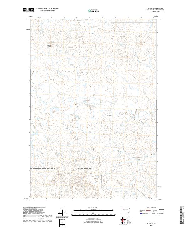
1983 Sorum NE
Perkins County, SD
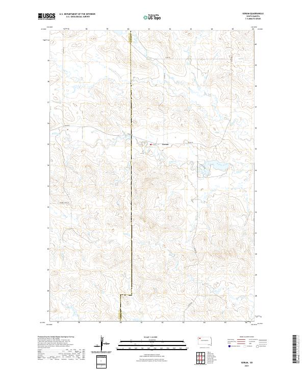
1983 Sorum
Perkins County, SD
1983 Sorum SE
Perkins County, SD
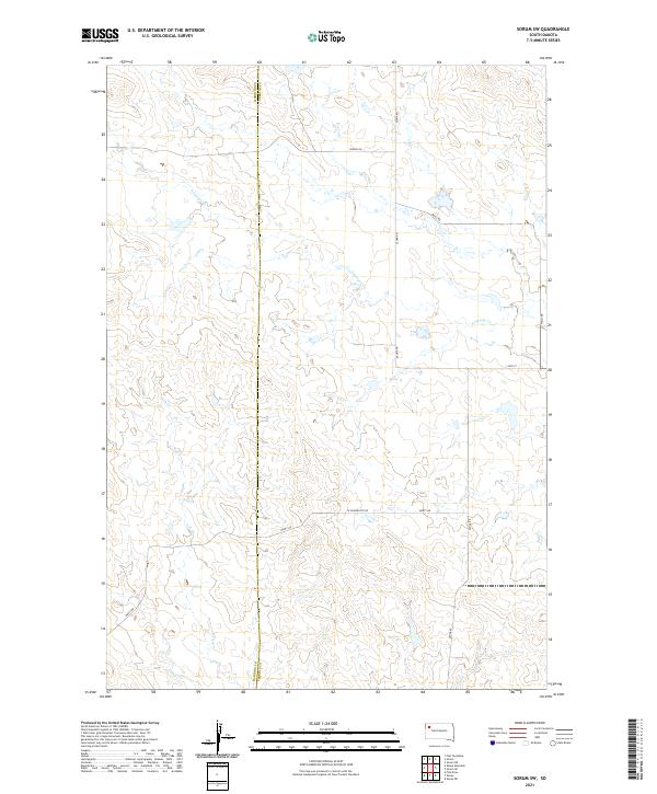
1983 Sorum SW
Perkins County, SD
1983 Square Top Butte
Perkins County, SD
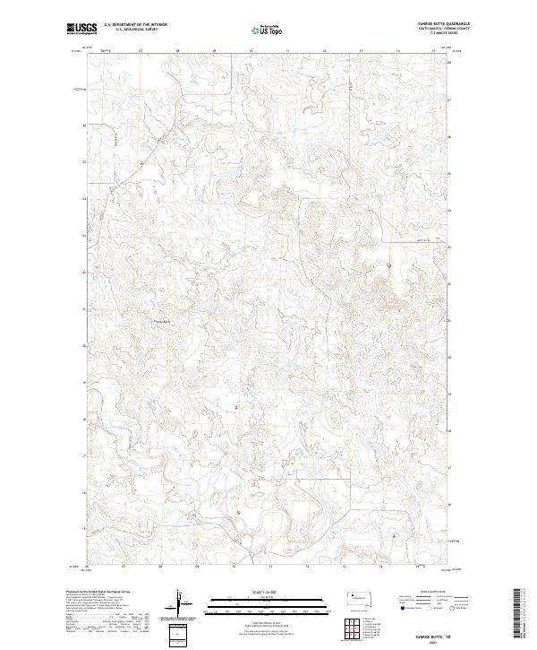
1983 Sunrise Butte
Perkins County, SD
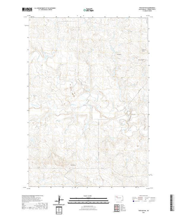
1983 Two Buttes
Perkins County, SD
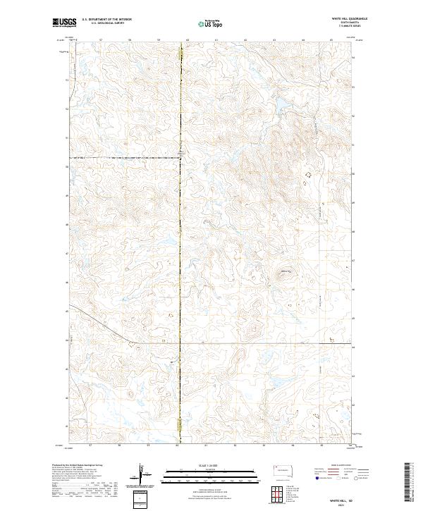
1983 White Hill
Perkins County, SD
1998 Bison NE
Perkins County, SD
1998 Bison NW
Perkins County, SD
1998 Boxcar Buttes
Perkins County, SD
1998 Cole Dam
Perkins County, SD
1998 Cow Butte SE
Perkins County, SD
1998 Haynes SE
Perkins County, SD
1998 Haynes SW
Perkins County, SD
1998 Kid Rich Butte
Perkins County, SD
1998 Lemmon Lake
Perkins County, SD
1998 Little Nasty Creek
Perkins County, SD
1998 Lodgepole
Perkins County, SD
1998 Lodgepole SE
Perkins County, SD
1998 Meadow NE
Perkins County, SD
1998 Meadow NW
Perkins County, SD
1998 Meadow SE
Perkins County, SD
1998 Square Top Butte
Perkins County, SD
1998 Summerville
Perkins County, SD
1998 White Butte
Perkins County, SD

2011 Lemmon NE
Perkins County, SD
2012 Beverly Creek
Perkins County, SD
2012 Bison NE
Perkins County, SD
2012 Bison NW
Perkins County, SD
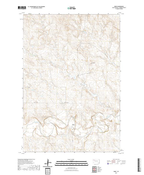
2012 Bixby
Perkins County, SD
2012 Boxcar Buttes
Perkins County, SD
2012 Cedar Canyon
Perkins County, SD
2012 Chance
Perkins County, SD
2012 Coal Springs NW
Perkins County, SD
2012 Coal Springs
Perkins County, SD
2012 Coal Springs SE
Perkins County, SD
2012 Coal Springs SW
Perkins County, SD
2012 Cole Dam
Perkins County, SD
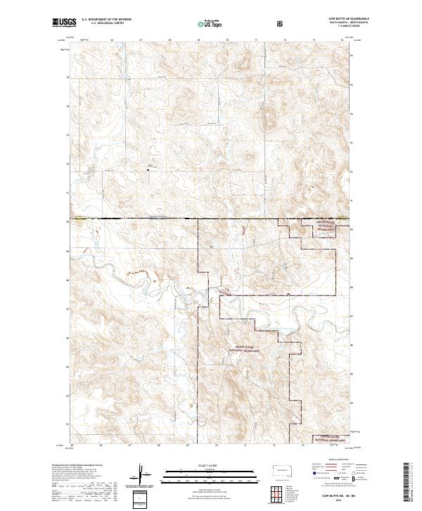
2012 Cow Butte NE
Perkins County, SD
2012 Cow Butte SE
Perkins County, SD
2012 Cow Butte SW
Perkins County, SD
2012 Date NE
Perkins County, SD
2012 Date
Perkins County, SD
2012 Daviston
Perkins County, SD
2012 Deep Creek NE
Perkins County, SD
2012 Deep Creek NW
Perkins County, SD
2012 Deep Creek SE
Perkins County, SD
2012 Faith NE
Perkins County, SD
2012 Faith NW
Perkins County, SD
2012 Faith SW
Perkins County, SD
2012 Grandmas Butte
Perkins County, SD
2012 Haynes SE
Perkins County, SD
2012 Haynes SW
Perkins County, SD
2012 Imogene
Perkins County, SD
2012 Kid Rich Butte
Perkins County, SD
2012 Lemmon Lake
Perkins County, SD
2012 Lemmon NE
Perkins County, SD
2012 Little Nasty Creek
Perkins County, SD
2012 Lodgepole
Perkins County, SD
2012 Lodgepole SE
Perkins County, SD
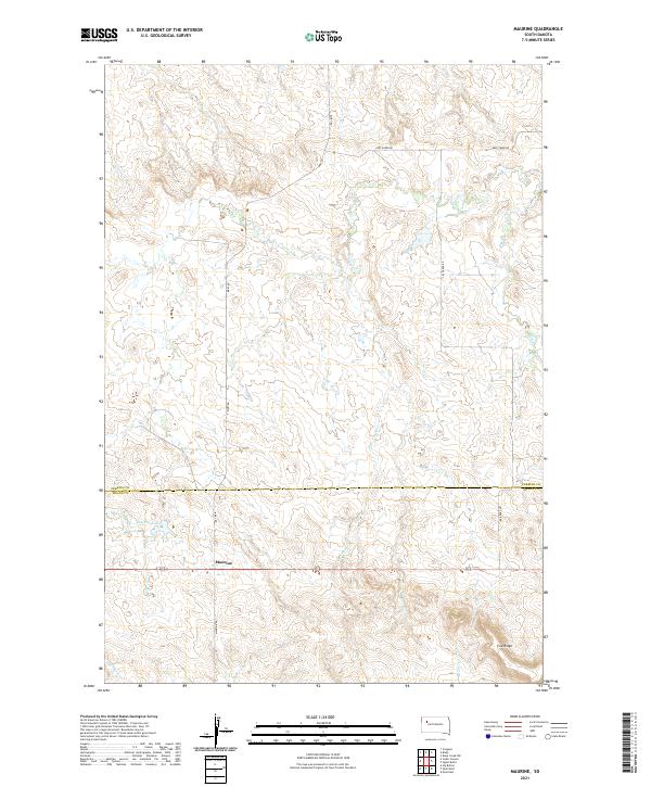
2012 Maurine
Perkins County, SD
2012 Meadow NE
Perkins County, SD
2012 Meadow NW
Perkins County, SD
2012 Meadow
Perkins County, SD
2012 Meadow SE
Perkins County, SD
2012 Mud Creek
Perkins County, SD
2012 Owen Lake
Perkins County, SD
2012 Prairie City NE
Perkins County, SD
2012 Prairie City NW
Perkins County, SD
2012 Rabbit Butte
Perkins County, SD
2012 Signal Butte
Perkins County, SD
2012 Sorum NE
Perkins County, SD
2012 Sorum
Perkins County, SD
2012 Sorum SE
Perkins County, SD
2012 Sorum SW
Perkins County, SD
2012 Square Top Butte
Perkins County, SD
2012 Summerville
Perkins County, SD
2012 Sunrise Butte
Perkins County, SD
2012 Two Buttes
Perkins County, SD
2012 White Butte
Perkins County, SD
2012 White Hill
Perkins County, SD
2012 Zeona NE
Perkins County, SD
2012 Zeona
Perkins County, SD
2015 Beverly Creek
Perkins County, SD
2015 Bison NE
Perkins County, SD
2015 Bison NW
Perkins County, SD
2015 Bixby
Perkins County, SD
2015 Boxcar Buttes
Perkins County, SD
2015 Cedar Canyon
Perkins County, SD
2015 Chance
Perkins County, SD
2015 Coal Springs NW
Perkins County, SD
2015 Coal Springs
Perkins County, SD
2015 Coal Springs SE
Perkins County, SD
2015 Coal Springs SW
Perkins County, SD
2015 Cole Dam
Perkins County, SD
2015 Cow Butte NE
Perkins County, SD
2015 Cow Butte SE
Perkins County, SD
2015 Cow Butte SW
Perkins County, SD
2015 Date NE
Perkins County, SD
2015 Date
Perkins County, SD
2015 Daviston
Perkins County, SD
2015 Deep Creek NE
Perkins County, SD
2015 Deep Creek NW
Perkins County, SD
2015 Deep Creek SE
Perkins County, SD
2015 Faith NE
Perkins County, SD
2015 Faith NW
Perkins County, SD
2015 Faith SW
Perkins County, SD
2015 Grandmas Butte
Perkins County, SD
2015 Haynes SE
Perkins County, SD
2015 Haynes SW
Perkins County, SD
2015 Imogene
Perkins County, SD
2015 Kid Rich Butte
Perkins County, SD
2015 Lemmon Lake
Perkins County, SD
2015 Lemmon NE
Perkins County, SD
2015 Little Nasty Creek
Perkins County, SD
2015 Lodgepole
Perkins County, SD
2015 Lodgepole SE
Perkins County, SD
2015 Maurine
Perkins County, SD
2015 Meadow NE
Perkins County, SD
2015 Meadow NW
Perkins County, SD
2015 Meadow
Perkins County, SD
2015 Meadow SE
Perkins County, SD
2015 Mud Creek
Perkins County, SD
2015 Owen Lake
Perkins County, SD
2015 Prairie City NE
Perkins County, SD
2015 Prairie City NW
Perkins County, SD
2015 Rabbit Butte
Perkins County, SD
2015 Signal Butte
Perkins County, SD
2015 Sorum NE
Perkins County, SD

2015 Sorum
Perkins County, SD
2015 Sorum SE
Perkins County, SD
2015 Sorum SW
Perkins County, SD
2015 Square Top Butte
Perkins County, SD
2015 Summerville
Perkins County, SD
2015 Sunrise Butte
Perkins County, SD
2015 Two Buttes
Perkins County, SD
2015 White Butte
Perkins County, SD
2015 White Hill
Perkins County, SD
2015 Zeona NE
Perkins County, SD
2015 Zeona
Perkins County, SD
2017 Beverly Creek
Perkins County, SD
2017 Bison NE
Perkins County, SD
2017 Bison NW
Perkins County, SD
2017 Bixby
Perkins County, SD
2017 Boxcar Buttes
Perkins County, SD
2017 Cedar Canyon
Perkins County, SD
2017 Chance
Perkins County, SD
2017 Coal Springs NW
Perkins County, SD
2017 Coal Springs
Perkins County, SD
2017 Coal Springs SE
Perkins County, SD
2017 Coal Springs SW
Perkins County, SD
2017 Cole Dam
Perkins County, SD
2017 Cow Butte NE
Perkins County, SD
2017 Cow Butte SE
Perkins County, SD
2017 Cow Butte SW
Perkins County, SD
2017 Date NE
Perkins County, SD
2017 Date
Perkins County, SD
2017 Daviston
Perkins County, SD
2017 Deep Creek NE
Perkins County, SD
2017 Deep Creek SE
Perkins County, SD
2017 Faith NE
Perkins County, SD
2017 Faith NW
Perkins County, SD
2017 Faith SW
Perkins County, SD
2017 Grandmas Butte
Perkins County, SD
2017 Haynes SE
Perkins County, SD
2017 Haynes SW
Perkins County, SD
2017 Imogene
Perkins County, SD
2017 Kid Rich Butte
Perkins County, SD
2017 Lemmon Lake
Perkins County, SD
2017 Lemmon NE
Perkins County, SD
2017 Little Nasty Creek
Perkins County, SD
2017 Lodgepole
Perkins County, SD
2017 Lodgepole SE
Perkins County, SD
2017 Maurine
Perkins County, SD
2017 Meadow NE
Perkins County, SD
2017 Meadow NW
Perkins County, SD
2017 Meadow
Perkins County, SD
2017 Meadow SE
Perkins County, SD
2017 Mud Creek
Perkins County, SD
2017 Owen Lake
Perkins County, SD
2017 Prairie City NE
Perkins County, SD
2017 Prairie City NW
Perkins County, SD
2017 Rabbit Butte
Perkins County, SD
2017 Signal Butte
Perkins County, SD
2017 Sorum NE
Perkins County, SD
2017 Sorum
Perkins County, SD
2017 Sorum SE
Perkins County, SD
2017 Sorum SW
Perkins County, SD
2017 Square Top Butte
Perkins County, SD
2017 Summerville
Perkins County, SD
2017 Sunrise Butte
Perkins County, SD
2017 Two Buttes
Perkins County, SD
2017 White Butte
Perkins County, SD
2017 White Hill
Perkins County, SD
2017 Zeona NE
Perkins County, SD
2017 Zeona
Perkins County, SD
2018 Deep Creek NW
Perkins County, SD
2021 Beverly Creek
Perkins County, SD
2021 Bison NE
Perkins County, SD
2021 Bison NW
Perkins County, SD
2021 Bixby
Perkins County, SD
2021 Boxcar Buttes
Perkins County, SD
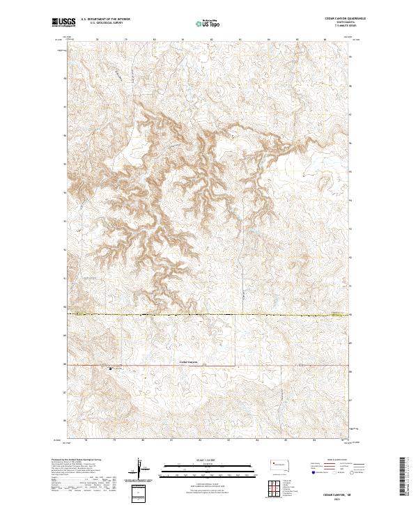
2021 Cedar Canyon
Perkins County, SD
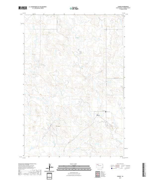
2021 Chance
Perkins County, SD
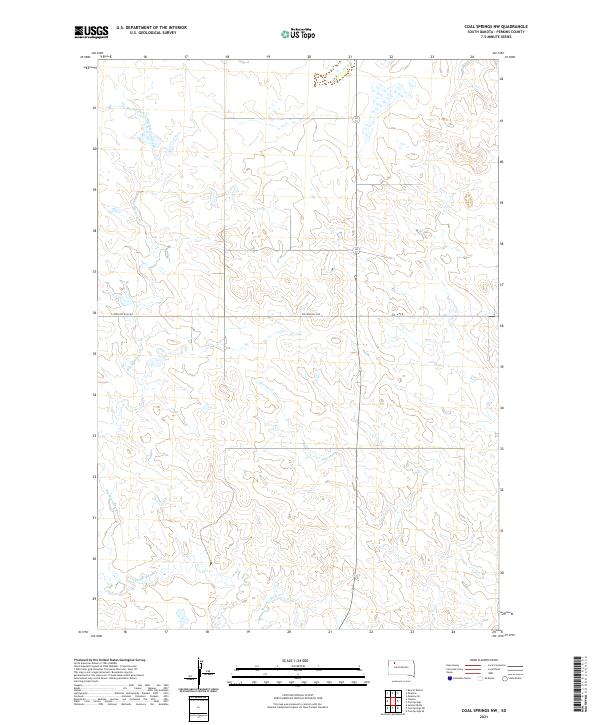
2021 Coal Springs NW
Perkins County, SD
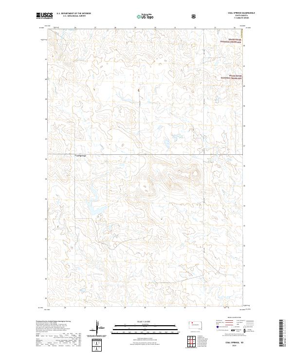
2021 Coal Springs
Perkins County, SD
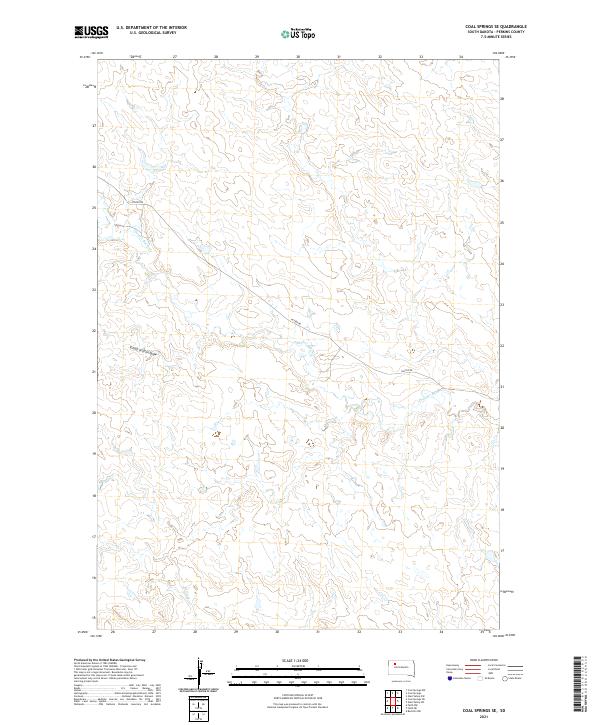
2021 Coal Springs SE
Perkins County, SD
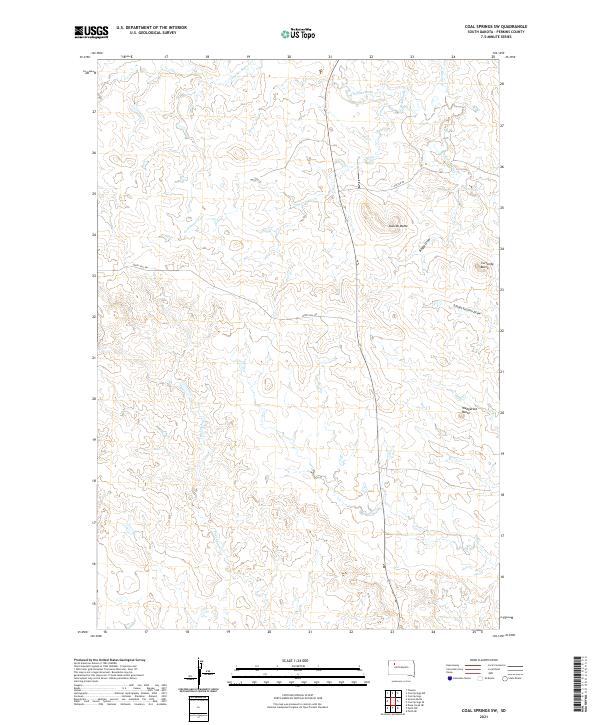
2021 Coal Springs SW
Perkins County, SD
2021 Cole Dam
Perkins County, SD
2021 Cow Butte NE
Perkins County, SD
2021 Cow Butte SE
Perkins County, SD
2021 Cow Butte SW
Perkins County, SD
2021 Date NE
Perkins County, SD
2021 Date
Perkins County, SD
2021 Daviston
Perkins County, SD
2021 Deep Creek NE
Perkins County, SD
2021 Deep Creek NW
Perkins County, SD
2021 Deep Creek SE
Perkins County, SD
2021 Faith NE
Perkins County, SD
2021 Faith NW
Perkins County, SD

2021 Faith SW
Perkins County, SD
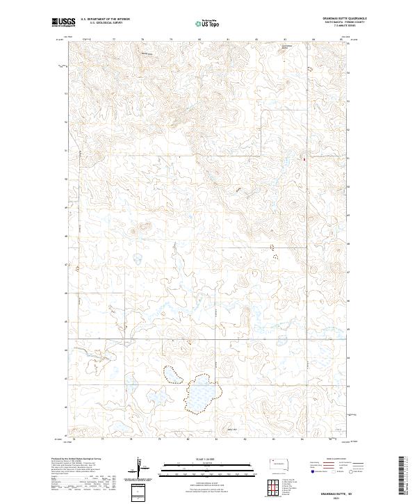
2021 Grandmas Butte
Perkins County, SD
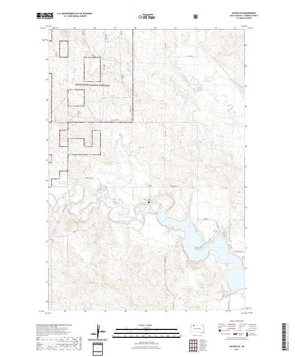
2021 Haynes SE
Perkins County, SD
2021 Haynes SW
Perkins County, SD
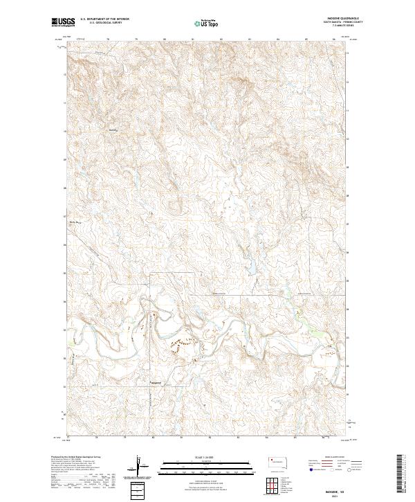
2021 Imogene
Perkins County, SD
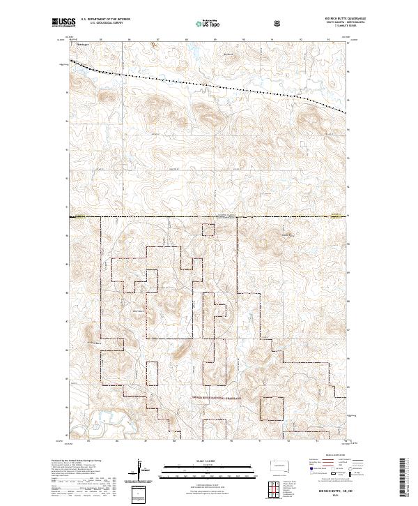
2021 Kid Rich Butte
Perkins County, SD
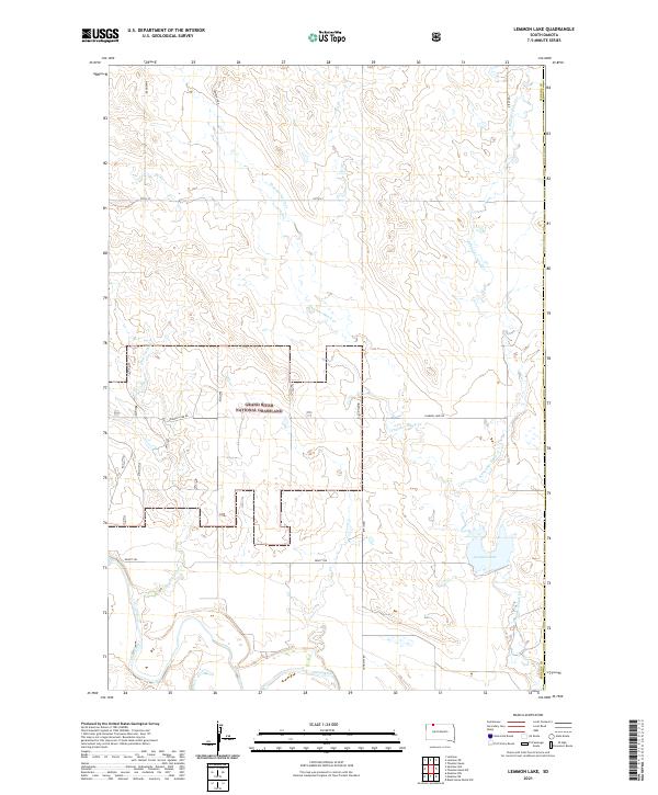
2021 Lemmon Lake
Perkins County, SD
2021 Lemmon NE
Perkins County, SD
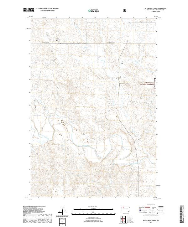
2021 Little Nasty Creek
Perkins County, SD
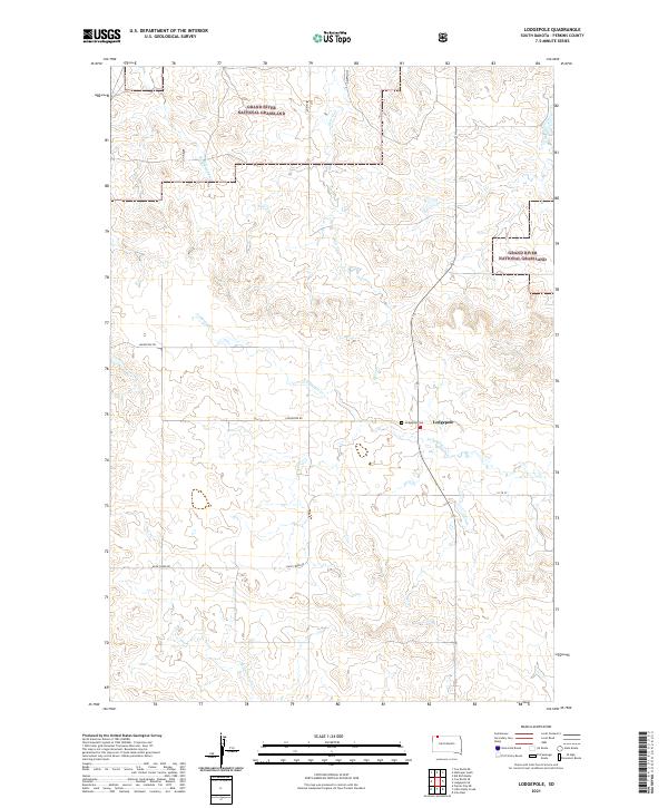
2021 Lodgepole
Perkins County, SD
2021 Lodgepole SE
Perkins County, SD
2021 Maurine
Perkins County, SD
2021 Meadow NE
Perkins County, SD

2021 Meadow NW
Perkins County, SD
2021 Meadow
Perkins County, SD
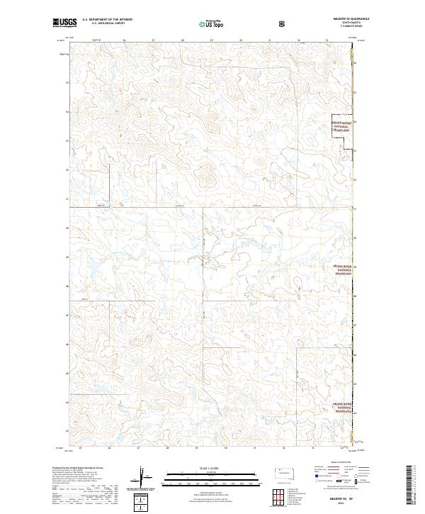
2021 Meadow SE
Perkins County, SD
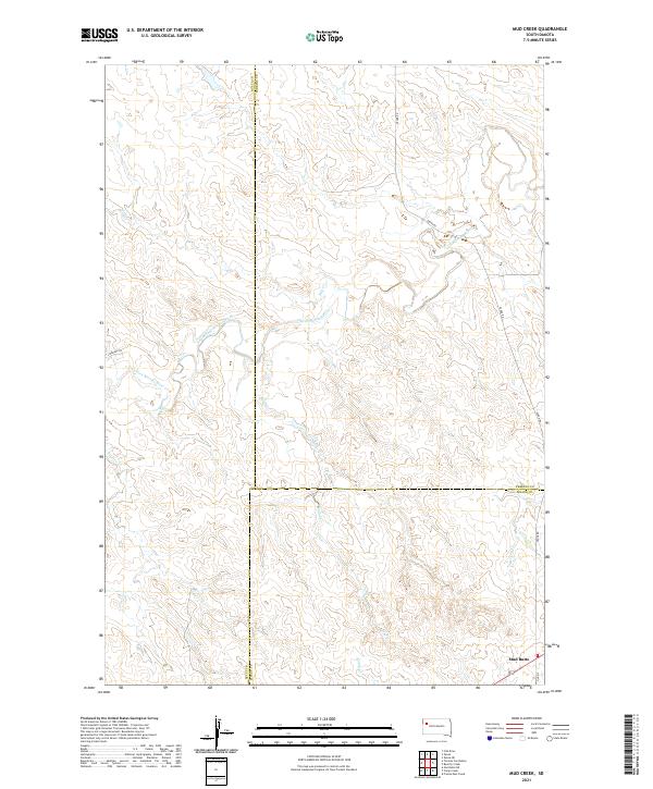
2021 Mud Creek
Perkins County, SD
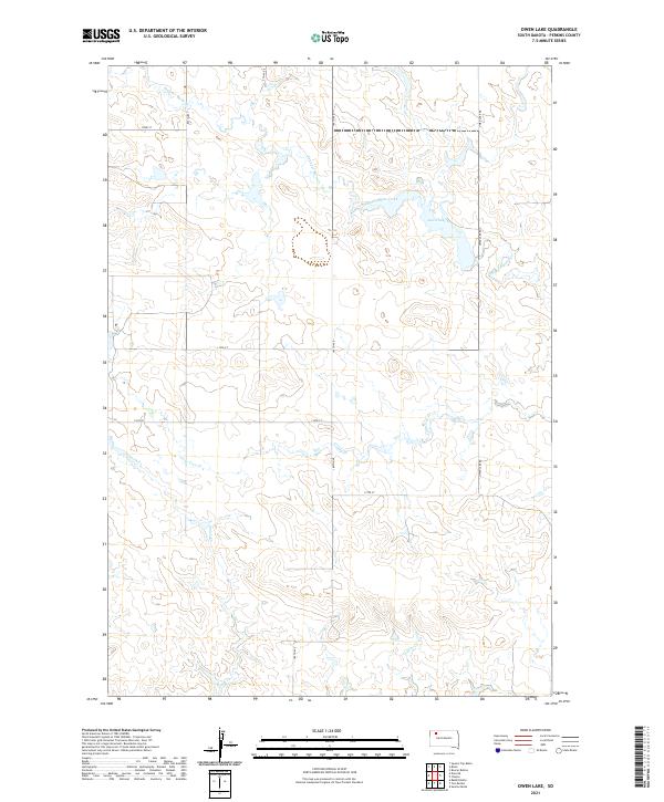
2021 Owen Lake
Perkins County, SD
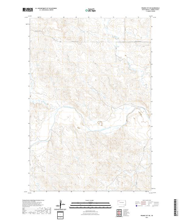
2021 Prairie City NE
Perkins County, SD
2021 Prairie City NW
Perkins County, SD
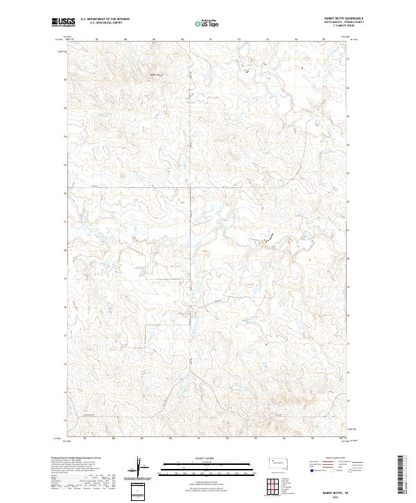
2021 Rabbit Butte
Perkins County, SD

2021 Signal Butte
Perkins County, SD
2021 Sorum NE
Perkins County, SD
2021 Sorum
Perkins County, SD
2021 Sorum SE
Perkins County, SD
2021 Sorum SW
Perkins County, SD
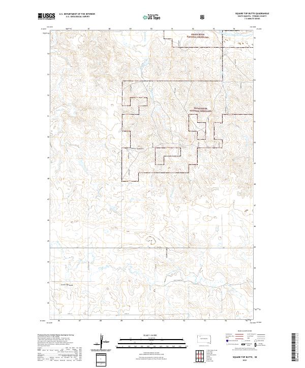
2021 Square Top Butte
Perkins County, SD
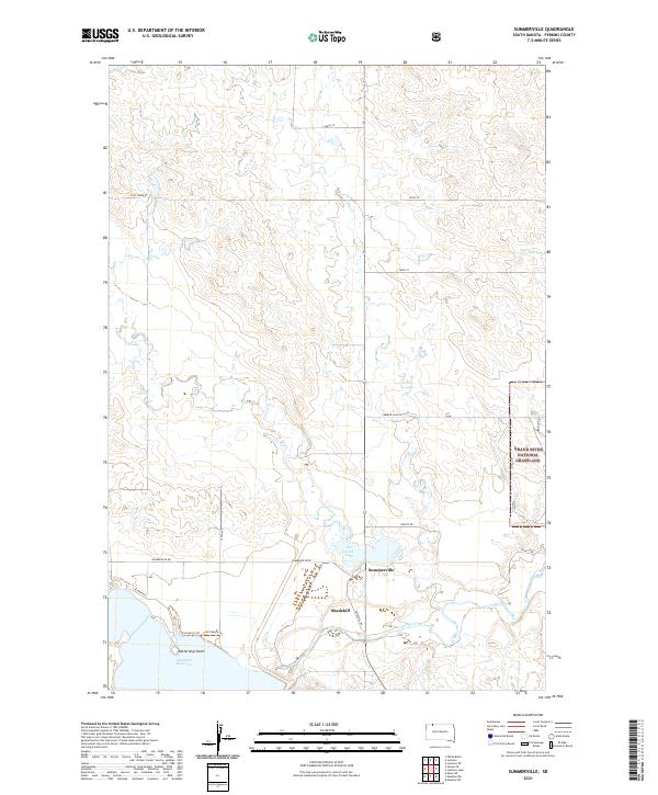
2021 Summerville
Perkins County, SD
2021 Sunrise Butte
Perkins County, SD
2021 Two Buttes
Perkins County, SD
2021 White Butte
Perkins County, SD
2021 White Hill
Perkins County, SD
2021 Zeona NE
Perkins County, SD
2021 Zeona
Perkins County, SD