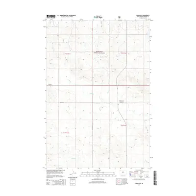
2015 Map of Lodgepole
USGS Topo · Published 2015About this map
Lodgepole serves as the primary focal point of this Perkins County landscape, situated within a vast expanse of the Grand River National Grassland. The settlement pattern follows a grid of section lines and rural thoroughfares including Lodgepole Rd and Duck Creek Rd, which cross the open range typical of the northern Great Plains. The hydrology of the region is defined by a dendritic network of seasonal and permanent watercourses, most notably Lodgepole Cr, Deer Cr, and Billy Young Cr. In the southern portion of the survey, the interestingly named Little Nasty Cr drains through the rolling prairie. This 2015 edition provides a clear record of land management boundaries and modern rural infrastructure, illustrating how the grassland remains a working landscape intertwined with small-town South Dakota life.
Find a feature on this map
15 named features on this map. Tap any name to fly to it.
Don’t see what you’re looking for? This feature index may not catch every label — zoom into the map to look around manually.
Map Details
Editions of this 2015 Lodgepole Map
This is the sole edition of this map. No revisions or reprints were ever made.
Other maps of this area

1954 · Lemmon
USGS Topo · 1:250,000

1957 · Lemmon
USGS Topo · 1:250,000

1974 · Hettinger South
USGS Topo · 1:24,000

1974 · Cow Butte NE
USGS Topo · 1:24,000

1974 · Kid Rich Butte
USGS Topo · 1:24,000

1983 · Cow Butte SE
USGS Topo · 1:24,000

1983 · Lodgepole SE
USGS Topo · 1:24,000

1983 · Prairie City NE
USGS Topo · 1:24,000

1983 · Cole Dam
USGS Topo · 1:24,000

1983 · Little Nasty Creek
USGS Topo · 1:24,000