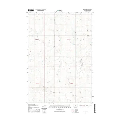
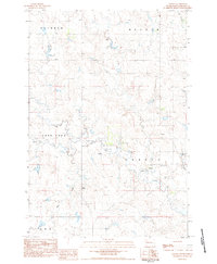
2015 Map of Two Buttes
USGS Topo · Published 2015About this map
Two Buttes and Johnny Butte rise above the high plains of Perkins County in this mid-2010s survey, marking a landscape defined by an intricate network of seasonal drainage and grazing lands. The hydrology is dominated by the winding course of Rabbit Cr, which is fed by numerous tributaries including Antelope Cr, Pickles Cr, and the divided branches of N Reinoehl Cr and S Reinoehl Cr. The area is largely defined by the Public Land Survey System grid, with isolated landmarks like Flat Top Butte and Twin Buttes serving as essential reference points for local ranchers and land managers. Transportation is limited to a sparse network of section-line roads and trails, such as Chance Rd, Ada Rd, and Usta Rd, which navigate the draws and rises of the northern South Dakota prairie.
Find a feature on this map
24 named features on this map. Tap any name to fly to it.
Don’t see what you’re looking for? This feature index may not catch every label — zoom into the map to look around manually.
Map Details
Editions of this 2015 Two Buttes Map
This is the sole edition of this map. No revisions or reprints were ever made.
Other maps of this area
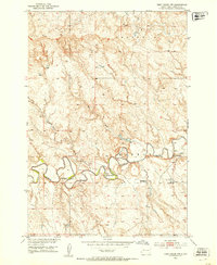
1951 · Deep Creek NW
USGS Topo · 1:24,000
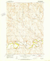
1951 · Bixby
USGS Topo · 1:24,000
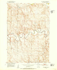
1952 · Deep Creek NE
USGS Topo · 1:24,000

1954 · Lemmon
USGS Topo · 1:250,000

1957 · Lemmon
USGS Topo · 1:250,000
1983 · Rabbit Butte
USGS Topo · 1:24,000
1983 · Sunrise Butte
USGS Topo · 1:24,000
1983 · Date NE
USGS Topo · 1:24,000
1983 · Owen Lake
USGS Topo · 1:24,000
1983 · Chance
USGS Topo · 1:24,000