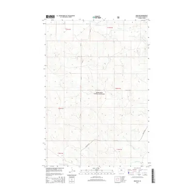
2015 Map of Bison NW
USGS Topo · Published 2015About this map
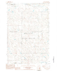
Grand River National Grassland dominates the central portion of this Perkins County landscape, representing a significant portion of the public grazing and prairie conservation lands in northwestern South Dakota. The drainage patterns of the high plains are defined here by Lodgepole Cr in the north and the South Fork Grand River cutting across the southern boundary. The section-line road network, including Haynes Rd, Pleasant Ridge Rd, and 114th St, illustrates the rigid grid of the Public Land Survey System that carved this region into townships such as t21n r14e and t20n r13e. This 2015 survey shows a terrain of steady elevation changes, primarily supporting open range and dryland ranching operations typical of the western Dakotas.
Find a feature on this map
13 named features on this map. Tap any name to fly to it.
Don’t see what you’re looking for? This feature index may not catch every label — zoom into the map to look around manually.
Map Details
Editions of this 2015 Bison NW Map
This is the sole edition of this map. No revisions or reprints were ever made.
Other maps of this area

1954 · Lemmon
USGS Topo · 1:250,000

1957 · Lemmon
USGS Topo · 1:250,000
1983 · Lodgepole SE
USGS Topo · 1:24,000
1983 · Haynes SE
USGS Topo · 1:24,000
1983 · Boxcar Buttes
USGS Topo · 1:24,000
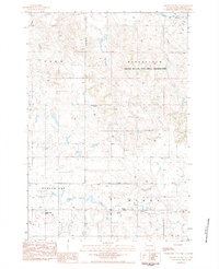
1983 · Square Top Butte
USGS Topo · 1:24,000
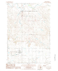
1983 · Bison
USGS Topo · 1:24,000
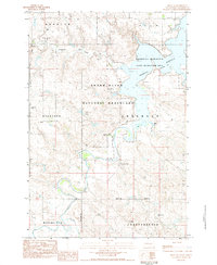
1983 · Bison NE
USGS Topo · 1:24,000
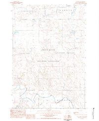
1983 · Cole Dam
USGS Topo · 1:24,000
1983 · Bison NW
USGS Topo · 1:24,000