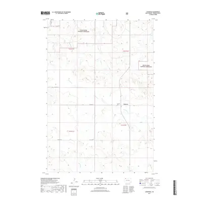
2017 Map of Lodgepole
USGS Topo · Published 2017About this map
Lodgepole serves as the primary settlement hub in this section of Perkins County, located along the intersection of Lodgepole Rd and the local section line roads. The landscape is defined by the open expanses of the Grand River National Grassland, which occupies large tracts in the northern and eastern portions of the quadrangle. This 2017 survey illustrates a classic High Plains drainage pattern, with Deer Cr and Lodgepole Cr carving subtle paths through the terrain. For those researching local roots, the Lodgepole Cem stands as a key genealogical landmark just west of the main settlement. Further south, the map traces the routes of Duck Creek Rd and the oddly named Little Nasty Cr, showing the persistent grid of rural infrastructure that supports this cattle-and-grassland region.
Find a feature on this map
14 named features on this map. Tap any name to fly to it.
Don’t see what you’re looking for? This feature index may not catch every label — zoom into the map to look around manually.
Map Details
Editions of this 2017 Lodgepole Map
This is the sole edition of this map. No revisions or reprints were ever made.
Other maps of this area

1954 · Lemmon
USGS Topo · 1:250,000

1957 · Lemmon
USGS Topo · 1:250,000

1974 · Hettinger South
USGS Topo · 1:24,000

1974 · Cow Butte NE
USGS Topo · 1:24,000

1974 · Kid Rich Butte
USGS Topo · 1:24,000

1983 · Cow Butte SE
USGS Topo · 1:24,000

1983 · Lodgepole SE
USGS Topo · 1:24,000

1983 · Prairie City NE
USGS Topo · 1:24,000

1983 · Cole Dam
USGS Topo · 1:24,000

1983 · Little Nasty Creek
USGS Topo · 1:24,000