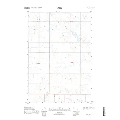
2017 Map of Owen Lake
USGS Topo · Published 2017About this map
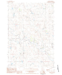
Owen Lake and the winding course of Thunder Butte Cr define the landscape of this Perkins County region. The terrain is structured by a system of rural section roads, including Owen Lake Rd and 180th Ave, which cut across the prairie to connect isolated ranching tracts. Several seasonal drainages, such as Cone Tree Cr, Smith Cr, and Pickles Cr, feed into the larger creek systems, illustrating the local hydrology and the natural movement of water across the plains.
Find a feature on this map
19 named features on this map. Tap any name to fly to it.
Don’t see what you’re looking for? This feature index may not catch every label — zoom into the map to look around manually.
Map Details
Editions of this 2017 Owen Lake Map
This is the sole edition of this map. No revisions or reprints were ever made.
Other maps of this area

1954 · Lemmon
USGS Topo · 1:250,000

1957 · Lemmon
USGS Topo · 1:250,000
1983 · Rabbit Butte
USGS Topo · 1:24,000
1983 · Boxcar Buttes
USGS Topo · 1:24,000
1983 · Square Top Butte
USGS Topo · 1:24,000
1983 · Bison
USGS Topo · 1:24,000
1983 · Sunrise Butte
USGS Topo · 1:24,000
1983 · Date NE
USGS Topo · 1:24,000
1983 · Owen Lake
USGS Topo · 1:24,000
1983 · Chance
USGS Topo · 1:24,000