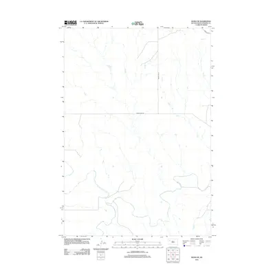
2012 Map of Zeona NE
USGS Topo · Published 2012About this map
The confluence of the N Fork Moreau River and the S Fork Moreau River defines the southern portion of this Perkins County landscape. Forming the main stem of the Moreau River, these waterways carve through a terrain marked by intermittent drainage and wide, open prairie. The map captures a rural network of essential access roads such as Prairie City Rd and Moreau River Rd, which trace the higher ground between the river and its tributaries like Ash Cr and Mud Cr. This early 21st-century survey documents the persistent hydrography of the region, where the winding river loops reflect a slow-moving drainage system that has dictated the placement of ranch roads and section lines across the northern plains.
Find a feature on this map
8 named features on this map. Tap any name to fly to it.
Don’t see what you’re looking for? This feature index may not catch every label — zoom into the map to look around manually.
Map Details
Editions of this 2012 Zeona NE Map
This is the sole edition of this map. No revisions or reprints were ever made.
Other maps of this area

1951 · Cedar Canyon
USGS Topo · 1:24,000

1951 · Imogene
USGS Topo · 1:24,000

1954 · Lemmon
USGS Topo · 1:250,000

1957 · Lemmon
USGS Topo · 1:250,000

1980 · Beverly Creek
USGS Topo · 1:25,000

1980 · Zeona
USGS Topo · 1:25,000

1983 · Date
USGS Topo · 1:24,000

1983 · Sorum SE
USGS Topo · 1:24,000
1983 · Sorum SW
USGS Topo · 1:24,000
1984 · Faith
USGS Topo · 1:100,000