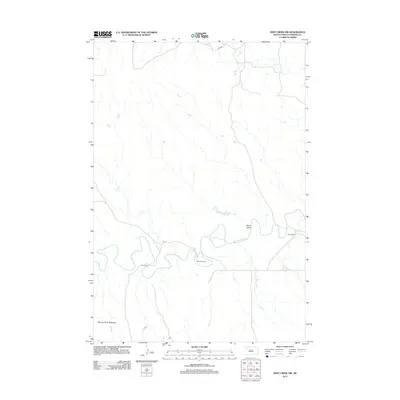
2012 Map of Deep Creek NW
USGS Topo · Published 2012About this map
The Moreau River meanders through this western South Dakota landscape, carving a wide valley that defines the local topography. This 2012 survey illustrates the remote ranching character of Perkins County, where established holdings like Kari Ranch, Halstead Ranch, and Marks Ranch anchor the rural economy. To the southwest, the river's influence is seen in the Moreau River Badlands, an area of distinct erosion and relief. North of the river, the intermittent drainage of Swan Draw feeds into the main channel, while the section-line grid is sparsely broken by local thoroughfares such as Usta Rd. The map provides a clear picture of the vast open spaces and limited infrastructure characteristic of this high plains region.
Find a feature on this map
7 named features on this map. Tap any name to fly to it.
Don’t see what you’re looking for? This feature index may not catch every label — zoom into the map to look around manually.
Map Details
Editions of this 2012 Deep Creek NW Map
This is the sole edition of this map. No revisions or reprints were ever made.
Other maps of this area

1951 · Maurine
USGS Topo · 1:24,000

1951 · Deep Creek NW
USGS Topo · 1:24,000

1951 · Bixby
USGS Topo · 1:24,000

1952 · Deep Creek SE
USGS Topo · 1:24,000

1952 · Signal Butte
USGS Topo · 1:24,000

1952 · Deep Creek NE
USGS Topo · 1:24,000

1954 · Lemmon
USGS Topo · 1:250,000

1957 · Lemmon
USGS Topo · 1:250,000

1983 · Rabbit Butte
USGS Topo · 1:24,000

1983 · Sunrise Butte
USGS Topo · 1:24,000