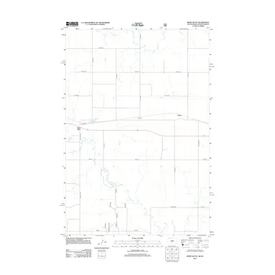
2012 Map of White Butte
USGS Topo · Published 2012About this map
White Butte stands as a prominent landmark on this high plains landscape at the border of South Dakota and North Dakota. The area is defined by a sparse settlement pattern connected by a rigid grid of rural roads, including 102nd St and Four Mile Rd. Two primary communities, White Butte and Petrel, serve as the local hubs for this agricultural region. Water management is central to the landscape, with the White Butte Reservoir and the winding paths of Duck Creek and Flat Creek providing essential drainage across the prairie.
Find a feature on this map
21 named features on this map. Tap any name to fly to it.
Don’t see what you’re looking for? This feature index may not catch every label — zoom into the map to look around manually.
Map Details
Editions of this 2012 White Butte Map
This is the sole edition of this map. No revisions or reprints were ever made.
Other maps of this area

1953 · Dickinson
USGS Topo · 1:250,000

1954 · Lemmon
USGS Topo · 1:250,000

1957 · Dickinson
USGS Topo · 1:250,000

1957 · Lemmon
USGS Topo · 1:250,000

1974 · Cedar Butte
USGS Topo · 1:24,000

1974 · White Butte
USGS Topo · 1:24,000

1974 · Lemmon
USGS Topo · 1:24,000

1974 · Haynes
USGS Topo · 1:24,000

1980 · Mott
USGS Topo · 1:100,000

1983 · Haynes SE
USGS Topo · 1:24,000