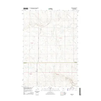
2015 Map of Maurine
USGS Topo · Published 2015About this map
Maurine serves as the central focal point for this section of the western South Dakota plains, situated just south of the border separating Perkins and Meade counties. The landscape is defined by its drainage networks, where Deep Creek, Lilly Creek, and Beaver Creek carve through the high prairie. In the southeastern corner, the rising elevations of Fox Ridge overlook the surrounding draws, while the small waters of Maurine Lake sit nestled near the settlement. Transportation in this expansive region relies on established routes like Bixby Road and Old Maurine Road, which connect isolated homesteads and ranching tracts across the township grids of t12n r13e and t13n r12e. The map illustrates a contemporary rural environment where the natural topography of ridges and creek beds remains the primary influence on settlement patterns.
Find a feature on this map
17 named features on this map. Tap any name to fly to it.
Don’t see what you’re looking for? This feature index may not catch every label — zoom into the map to look around manually.
Map Details
Editions of this 2015 Maurine Map
This is the sole edition of this map. No revisions or reprints were ever made.
Other maps of this area

1951 · Cedar Canyon
USGS Topo · 1:24,000

1951 · Maurine
USGS Topo · 1:24,000

1951 · Imogene
USGS Topo · 1:24,000

1951 · Deep Creek NW
USGS Topo · 1:24,000

1951 · Bixby
USGS Topo · 1:24,000

1952 · Signal Butte
USGS Topo · 1:24,000

1953 · Rapid City
USGS Topo · 1:250,000

1954 · Lemmon
USGS Topo · 1:250,000

1957 · Lemmon
USGS Topo · 1:250,000

1957 · Rapid City
USGS Topo · 1:250,000