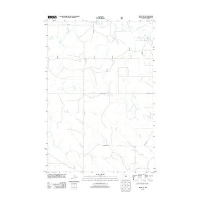
2012 Map of Bison NW
USGS Topo · Published 2012About this map
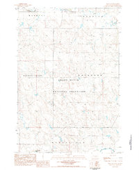
Lodgepole Cr winds through the northern reaches of this Perkins County landscape, carving a drainage pattern through the high plains of South Dakota. In the south, the South Fork Grand River defines the lower boundary of the quadrangle, serving as a critical water source in this semi-arid region. The map reveals a highly structured grid of section lines and rural transit routes, including Haynes Rd, Pleasant Ridge Rd, and White Butte Rd. These roads reflect the enduring agricultural and ranching layout of the territory, where connectivity is maintained across long distances. At the far northern edge, 114th St provides a late-twentieth-century snapshot of the county's road network, linking disparate homesteads and parcels within this section of the Great Plains.
Find a feature on this map
6 named features on this map. Tap any name to fly to it.
Don’t see what you’re looking for? This feature index may not catch every label — zoom into the map to look around manually.
Map Details
Editions of this 2012 Bison NW Map
This is the sole edition of this map. No revisions or reprints were ever made.
Other maps of this area

1954 · Lemmon
USGS Topo · 1:250,000

1957 · Lemmon
USGS Topo · 1:250,000
1983 · Lodgepole SE
USGS Topo · 1:24,000
1983 · Haynes SE
USGS Topo · 1:24,000
1983 · Boxcar Buttes
USGS Topo · 1:24,000
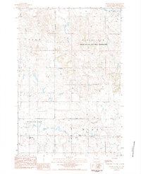
1983 · Square Top Butte
USGS Topo · 1:24,000
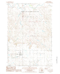
1983 · Bison
USGS Topo · 1:24,000
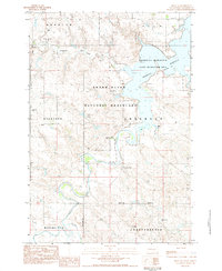
1983 · Bison NE
USGS Topo · 1:24,000
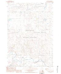
1983 · Cole Dam
USGS Topo · 1:24,000
1983 · Bison NW
USGS Topo · 1:24,000