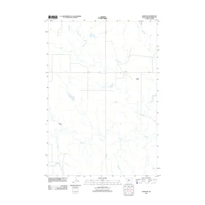
2012 Map of Daviston
USGS Topo · Published 2012About this map
Daviston serves as the focal point for this expansive section of Perkins County, where the high plains landscape is defined by the winding course of Rabbit Cr. The terrain is characterized by subtle elevation shifts and drainage systems like Mallory Draw, while Lotties Butte provides a distinctive landmark amidst the open range. This 2012 survey shows a network of section line roads, including Date Rd and 170th Ave, that overlay a landscape primarily dedicated to ranching and agriculture. The drainage of Peggy Cr in the southwest corner further illustrates the importance of water management in this semi-arid environment, where natural draws and creeks dictate the placement of local infrastructure and cattle crossings.
Find a feature on this map
8 named features on this map. Tap any name to fly to it.
Don’t see what you’re looking for? This feature index may not catch every label — zoom into the map to look around manually.
Map Details
Editions of this 2012 Daviston Map
This is the sole edition of this map. No revisions or reprints were ever made.
Other maps of this area

1954 · Lemmon
USGS Topo · 1:250,000

1957 · Lemmon
USGS Topo · 1:250,000

1983 · Grandmas Butte
USGS Topo · 1:24,000

1983 · Rabbit Butte
USGS Topo · 1:24,000

1983 · Square Top Butte
USGS Topo · 1:24,000

1983 · Sorum NE
USGS Topo · 1:24,000

1983 · Date NE
USGS Topo · 1:24,000

1983 · Date
USGS Topo · 1:24,000

1983 · Sorum SE
USGS Topo · 1:24,000

1983 · Daviston
USGS Topo · 1:24,000