2000s (21st Century) Maps of Perkins County, South Dakota
Explore 265 historic maps of Perkins County from the 2000s (21st Century). These maps offer a rare glimpse into what life looked like during the 2000s — showing old roads, neighborhoods, homes, and landmarks that have changed or disappeared over time.
Whether you're researching your family's past, planning a metal detecting trip, or studying how Perkins County's landscape evolved across the 2000s, these high-resolution maps are a powerful tool for exploring the history of this region.
- Focus on a specific era: All maps on this page are from the 2000s, giving you a focused view of this time period.
- See what’s changed: Compare century-old streets, trails, and buildings to today's modern landscape using overlays and satellite layers.
- Research with precision: Use these maps for genealogy, historical research, land use analysis, or educational projects.
- View, download, or print: Maps are fully viewable online in high resolution, and can be downloaded or printed for your own records.
Start exploring Perkins County's history through authentic maps from the 2000s. This is your window into the past.
Perkins County, SD maps
(265)- 2011 Map of Cow Butte, 2011 Print
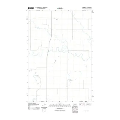 2011 Cow Butte2011 Print · USGSThe borderlands of Harding County come into focus during the early twenty-first century, centered on the landmark of Cow Butte. Researchers can trace the essential water-security network of this high plains region through features like Schaur Dam and Lightning Creek.
 - 2011 Map of Lemmon NE, 2011 Print
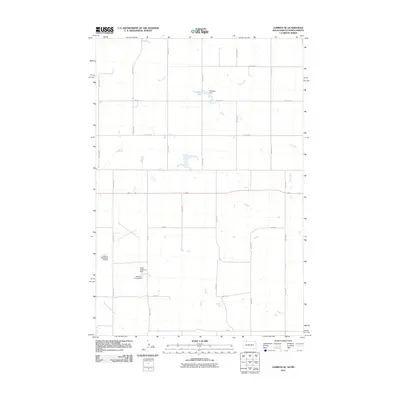 2011 Lemmon NE2011 Print · USGSThe Rock Creek District comes into focus during the early twenty-first century as a land of managed water and prairie aviation. Researchers can trace the local drainage systems of Plum Creek and locate landmarks like the Allen Robinson Dam or the Lemmon Municipal Airport.
 - 2011 Map of Lemmon, 2011 Print
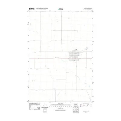 2011 Lemmon2011 Print · USGSThe border town of Lemmon is shown at a modern crossroads of agriculture and rail transportation in the early twenty-first century. Genealogists and local historians can trace the town grid from North Lemmon down to the Green Hill Cemetery, or follow the South Dakota State Railroad across the plains.
 - 2012 Map of Black Horse Butte NW, 2012 Print
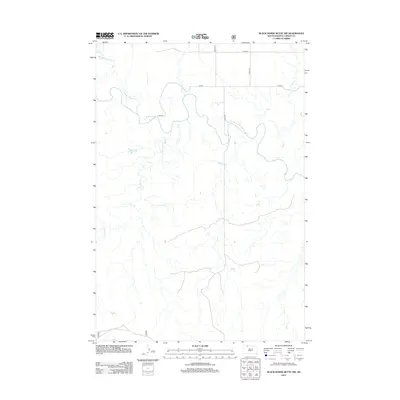 2012 Black Horse Butte NW2012 Print · USGSCorson County, South Dakota, is captured here in the early twenty-first century, showcasing the expansive drainages of the Rock Creek District. Researchers can trace the winding course of the Grand River and identify local landmarks like Thunder Hawk Cr and Cyclone Cr.
 - 2012 Map of Cow Butte SE, 2012 Print
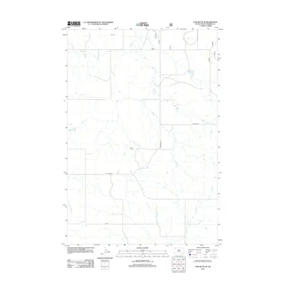 2012 Cow Butte SE2012 Print · USGSPerkins County remains a landscape of open plains and quiet ranchland as seen in the early twenty-first century. Genealogists and local historians can trace burial sites at Zion Cem and Bethany Cem or follow the paths of Horse Cr and Duck Cr.
 - 2012 Map of Coal Springs NW, 2012 Print
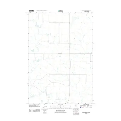 2012 Coal Springs NW2012 Print · USGSPerkins County ranch lands are captured here during the early twenty-first century, showing a remote landscape of prairie drainages and private flight paths. Researchers can trace the courses of Thunder Butte Cr and locate family landmarks like the Lensegrav Ranch Airstrip.
 - 2012 Map of Zeona, 2012 Print
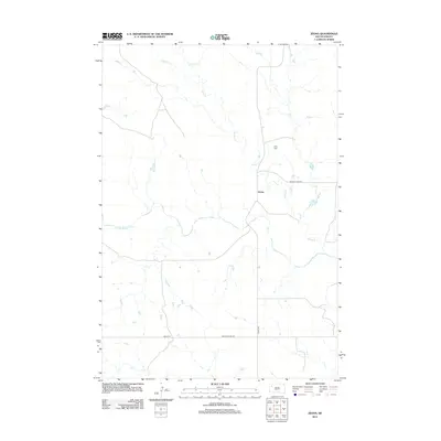 2012 Zeona2012 Print · USGSZeona and the surrounding Perkins County ranchlands appear here in the early twenty-first century as a landscape shaped by water and wire. Genealogists and local historians can locate Ruby Cem and trace the paths of Sheep Cr and the N Fork Moreau River.
 - 2012 Map of Zeona NE, 2012 Print
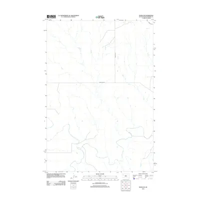 2012 Zeona NE2012 Print · USGSWestern South Dakota's river country is documented here in the early twenty-first century as the forks of a major waterway unite. Researchers can trace the winding paths of the N Fork Moreau River and S Fork Moreau River alongside rural routes like Prairie City Rd.
 - 2012 Map of Signal Butte, 2012 Print
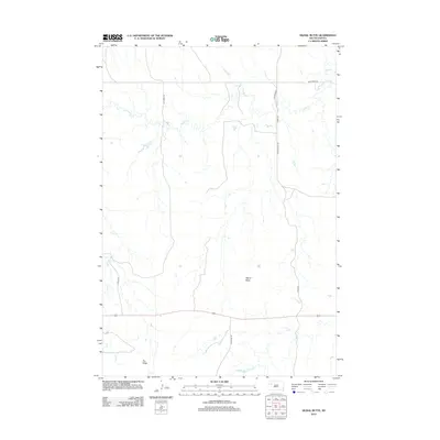 2012 Signal Butte2012 Print · USGSMeade County, South Dakota, is captured here in the early twenty-first century as a landscape of broad ridges and seasonal watercourses. Researchers can trace the terrain from Signal Butte down to the banks of Deep Cr and Flint Cr along Fox Ridge Rd.
 - 2012 Map of Imogene, 2012 Print
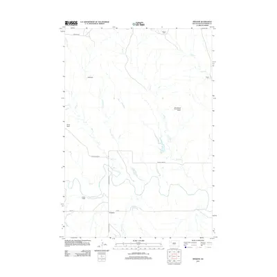 2012 Imogene2012 Print · USGSImogene and the ranchlands of Perkins County appear in this 2012 survey as a mosaic of prairie agriculture and river drainage. Genealogists and local historians can trace family holdings at Stillwell Ranch and Nelson Farm or follow the path of the Moreau River.
 - 2012 Map of Prairie City NW, 2012 Print
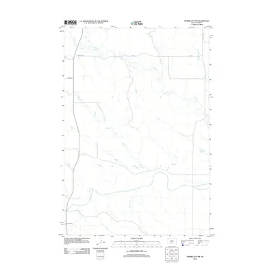 2012 Prairie City NW2012 Print · USGSHarding County’s high plains are documented here just after the turn of the millennium, showing a landscape shaped by the S Fork Grand River. Researchers can locate isolated landmarks like Scion Cem and South Grand River Cem among the drainages of Big Nasty Cr.
 - 2012 Map of Bison, 2012 Print
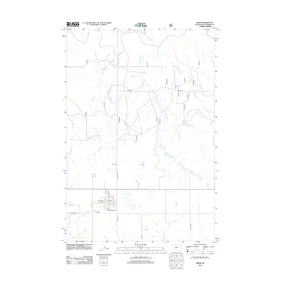 2012 Bison2012 Print · USGSBison and the surrounding Perkins County rangeland are documented here in the early twenty-first century. Genealogists and local historians can trace the town’s layout and outlying sites like the Bison Cem and the S Fork Grand River drainage.
 - 2012 Map of Prairie City NE, 2012 Print
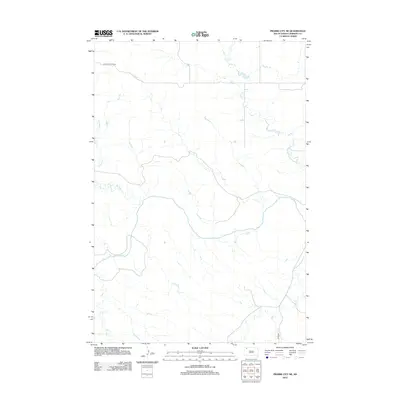 2012 Prairie City NE2012 Print · USGSPerkins County in the early twenty-first century is a landscape of expansive ranchland and winding waterways. Researchers can trace the path of the S Fork Grand River and find remote routes like Holland Center Road or Divide Road.
 - 2012 Map of Maurine, 2012 Print
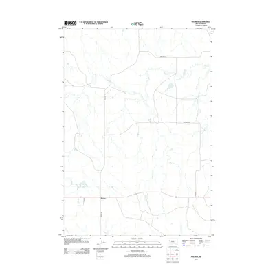 2012 Maurine2012 Print · USGSMeade County, South Dakota, in the early 2010s is captured here in this survey of its rural prairie landscape. Researchers can trace the water sources and roads essential to the area, from Maurine Lake and Deep Cr to the junction of Maurine Rd.
 - 2012 Map of Coal Springs SW, 2012 Print
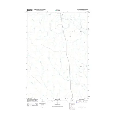 2012 Coal Springs SW2012 Print · USGSPerkins County ranching country is mapped here in the early twenty-first century, showing the high plains drainage and prominent landmarks. Trace the landscape around Duncan Butte and search for family-named locations along Happy Hill Rd and Thunder Butte Cr.
 - 2012 Map of Little Nasty Creek, 2012 Print
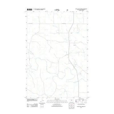 2012 Little Nasty Creek2012 Print · USGSPerkins County's ranching country in the early twenty-first century is defined by its winding waterways and vast section-line roads. Trace local family history at Fredlund Cem or follow the path of the S Fork Grand River past Pinnacle.
 - 2012 Map of Haynes SW, 2012 Print
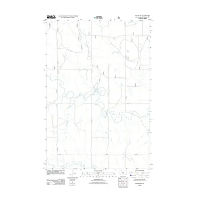 2012 Haynes SW2012 Print · USGSPerkins County at the start of the 2010s reveals a vast landscape of ranching and high plains hydrology. Researchers can trace the path of the N Fork Grand River or locate landmarks like White Butte and Johnson Dam along the rural road network.
 - 2012 Map of Cole Dam, 2012 Print
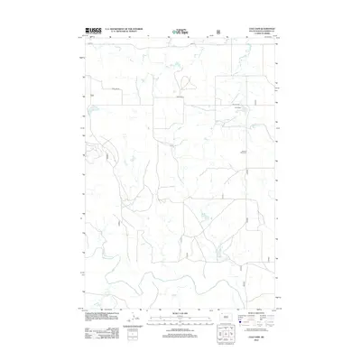 2012 Cole Dam2012 Print · USGSPerkins County at the start of the 2010s reveals a vast landscape shaped by the Grand River and the S Fork Grand River. Genealogists and local historians can locate Pleasant Valley Cem and trace the drainage of Hay Cr near Cole Dam.
 - 2012 Map of Owen Lake, 2012 Print
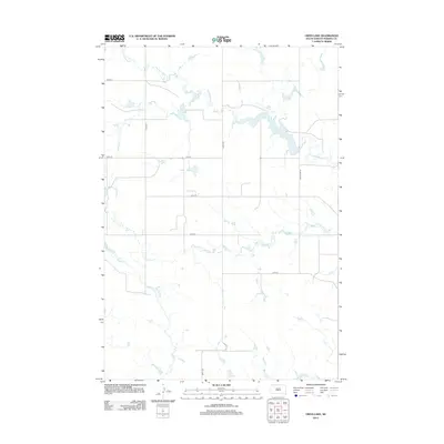 2012 Owen Lake2012 Print · USGSPerkins County at the start of the 2010s shows a landscape of wide-open ranch land and vital water catchments. Researchers can trace the section-line roads and drainage basins of Owen Lake, Thunder Butte Cr, and Cone Tree Cr.
 - 2012 Map of Sorum SW, 2012 Print
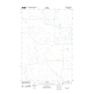 2012 Sorum SW2012 Print · USGSHarding County ranching country is captured here during the early twenty-first century, showing a landscape shaped by prairie drainage. Genealogists and local historians can trace family-named routes like Wells Rd and Marty Rd near the banks of Antelope Cr.
 - 2012 Map of Sorum, 2012 Print
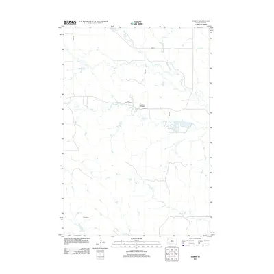 2012 Sorum2012 Print · USGSPerkins County settlement and prairie hydrology are captured here in the early twenty-first century. Genealogists and local historians can trace the roads around Sorum or locate remote landmarks like Meyer Landing Strip and Hines Spring.
 - 2012 Map of Faith NW, 2012 Print
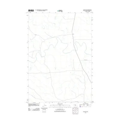 2012 Faith NW2012 Print · USGSThe Perkins County plains near Usta are captured here in the early twenty-first century, showing a remote landscape defined by the Moreau River. Researchers can trace the rural road network including Usta Rd and Arrowhead Rd as they cross Rabbit Cr.
 - 2012 Map of Cedar Canyon, 2012 Print
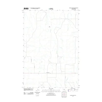 2012 Cedar Canyon2012 Print · USGSMeade County in the early 2010s reveals a sparse ranching landscape defined by the deep incisions of Cedar Canyon. Researchers can trace the drainage basins of Big Cedar Cr and find local landmarks such as Stomprud Rd and the small settlement of Cedar Canyon.
 - 2012 Map of Sunrise Butte, 2012 Print
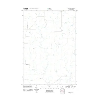 2012 Sunrise Butte2012 Print · USGSPerkins County at the beginning of the twenty-first century remains an open landscape of prairie drainages and isolated buttes. Researchers can trace the winding paths of Indian Cr and Rabbit Cr alongside rural routes like Chance Rd.
 - 2012 Map of Lodgepole SE, 2012 Print
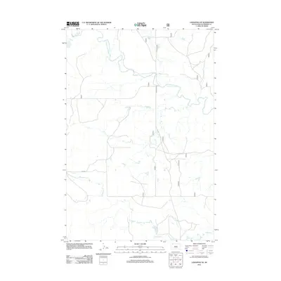 2012 Lodgepole SE2012 Print · USGSPerkins County at the start of the 2010s reveals a landscape of winding waterways and rural prairie routes. Researchers can trace the meandering courses of the N Fork Grand River and Lodgepole Cr alongside local thoroughfares like Castlebutte Rd.
Showing maps 1-25 of 265
Top cities of Perkins County
- Lemmon historical maps
- Bison historical maps
- Strool historical maps
- Lodgepole historical maps
- Chance historical maps
- Meadow historical maps
See more
Frequently asked questions
- What are the different types of historical maps available for Perkins County?
- What is the oldest map of Perkins County?
- Where can I purchase historical maps of Perkins County for my home or office?
- Where can I download high-res historical maps of Perkins County?
- Are there historical topographic maps available for Perkins County?
- Is there historical aerial imagery available for Perkins County?
- Where are historical maps of Perkins County sourced from?