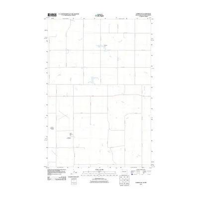
2011 Map of Lemmon NE
USGS Topo · Published 2011About this map
Lemmon Municipal Airport serves as a prominent landmark in this corner of the Rock Creek District, anchoring the western edge of a landscape defined by prairie water management and a grid of rural section roads. The hydrology of the region is punctuated by several small reservoirs and earthen works, including Organge Dam which holds back Township Lake, and the Allen Robinson Dam situated to the south. These features reveal the critical importance of water storage in this high plains environment. Plum Creek meanders across the northern and eastern sections of the quadrangle, while Thunder Hawk Creek flows through the southwestern reaches. The strictly organized network of roads, such as Airport Rd, 197th Ave, and 4th Ave SE, highlights the systematic division of land characteristic of the northern plains.
Find a feature on this map
25 named features on this map. Tap any name to fly to it.
Don’t see what you’re looking for? This feature index may not catch every label — zoom into the map to look around manually.
Map Details
Editions of this 2011 Lemmon NE Map
This is the sole edition of this map. No revisions or reprints were ever made.
Other maps of this area

1953 · McIntosh
USGS Topo · 1:250,000

1953 · Dickinson
USGS Topo · 1:250,000

1954 · Lemmon
USGS Topo · 1:250,000

1954 · Bismarck
USGS Topo · 1:250,000

1957 · Dickinson
USGS Topo · 1:250,000

1957 · Lemmon
USGS Topo · 1:250,000

1958 · Bismarck
USGS Topo · 1:250,000

1958 · McIntosh
USGS Topo · 1:250,000

1972 · Round Top
USGS Topo · 1:24,000

1972 · Thunder Hawk SW
USGS Topo · 1:24,000