2020s Maps of Spink County, South Dakota
Explore 35 historic maps of Spink County from the 2020s. These maps offer a rare glimpse into what life looked like during the 2020s — showing old roads, neighborhoods, homes, and landmarks that have changed or disappeared over time.
Whether you're researching your family's past, planning a metal detecting trip, or studying how Spink County's landscape evolved across the 2020s, these high-resolution maps are a powerful tool for exploring the history of this region.
- Focus on a specific era: All maps on this page are from the 2020s, giving you a focused view of this time period.
- See what’s changed: Compare century-old streets, trails, and buildings to today's modern landscape using overlays and satellite layers.
- Research with precision: Use these maps for genealogy, historical research, land use analysis, or educational projects.
- View, download, or print: Maps are fully viewable online in high resolution, and can be downloaded or printed for your own records.
Start exploring Spink County's history through authentic maps from the 2020s. This is your window into the past.
Spink County, SD maps
(35)- 2021 Map of Raymond, 2021 Print
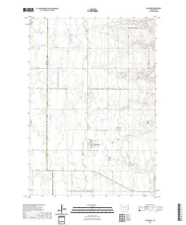 2021 Raymond2021 Print · USGSRaymond sits amidst the high plains of Clark County during the early twenty-first century, showing a landscape of organized section lines and prairie plateaus. Genealogists and local historians can locate Saint Patricks Cem and Prairie Valley Cem or trace the township boundaries of T117N R59W.
 - 2021 Map of Lake Byron NW, 2021 Print
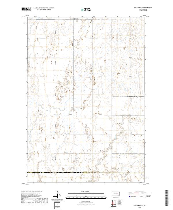 2021 Lake Byron NW2021 Print · USGSThe agricultural plains of Spink and Beadle counties are captured here in the early 2020s, showing a landscape defined by prairie wetlands and section-line roads. Genealogists and local historians can locate Rose Hill Cem or trace the path of Foster Cr as it flows toward the county line.
 - 2021 Map of Doland SW, 2021 Print
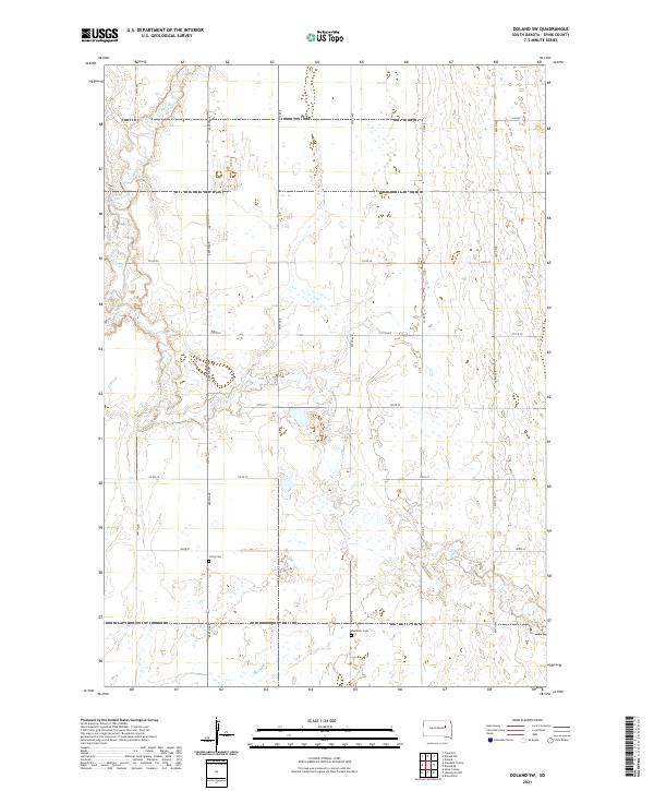 2021 Doland SW2021 Print · USGSSpink County agriculture and prairie wetlands are shown in detail during the early 2020s. Genealogists and local researchers can locate family sites near Irving Cem, Ebenezer Cem, and the winding banks of Timber Creek.
 - 2021 Map of Frankfort, 2021 Print
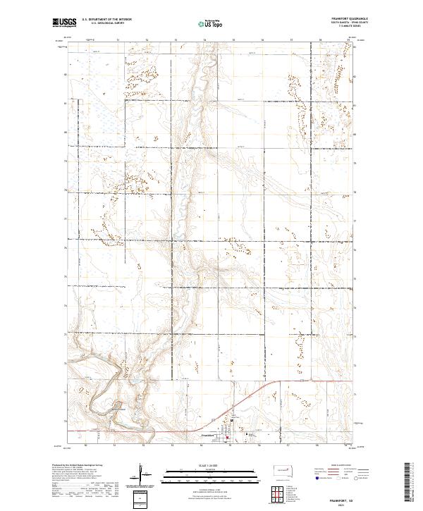 2021 Frankfort2021 Print · USGSThe Spink County prairie near the James River appears here in its modern agricultural form. Researchers can trace the townsite of Frankfort and locate local burial grounds including Saint Anne Cem and Mount Hope Cem.
 - 2021 Map of Spink Colony, 2021 Print
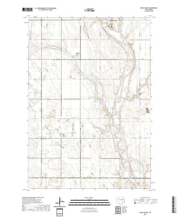 2021 Spink Colony2021 Print · USGSSpink County and the northern edge of Beadle County are captured here during a period of modern rural stability. Researchers can trace land ties and local heritage through the Spink Colony settlement, Spink Colony Cem, and the meandering James River.
 - 2021 Map of Doland, 2021 Print
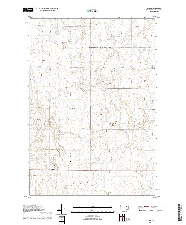 2021 Doland2021 Print · USGSSpink County agriculture and the central town of Doland are shown during the early twenty-first century, revealing the enduring grid of this prairie landscape. Genealogists and local historians can trace the town's residential footprint along Montana St and locate the nearby Doland Cem.
 - 2021 Map of Frankfort SW, 2021 Print
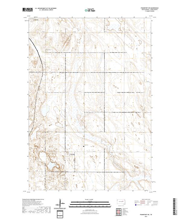 2021 Frankfort SW2021 Print · USGSSpink County's agricultural heartland is captured here in the early 2020s, showcasing the traditional section-line grid of the South Dakota plains. Genealogists and local historians can locate the Crandon Cem and trace the small community of Crandon along 387th Ave.
 - 2021 Map of Hitchcock, 2021 Print
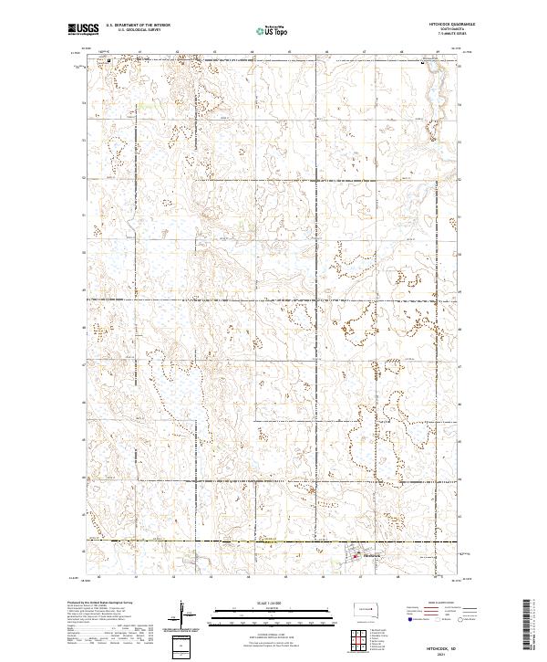 2021 Hitchcock2021 Print · USGSThe town of Hitchcock and the surrounding agricultural plains of the South Dakota prairie are captured here in the early twenty-first century. Genealogists can locate Tulare Cem and Graceland Cem while tracing the Spink and Beadle County line.
 - 2021 Map of Doland NW, 2021 Print
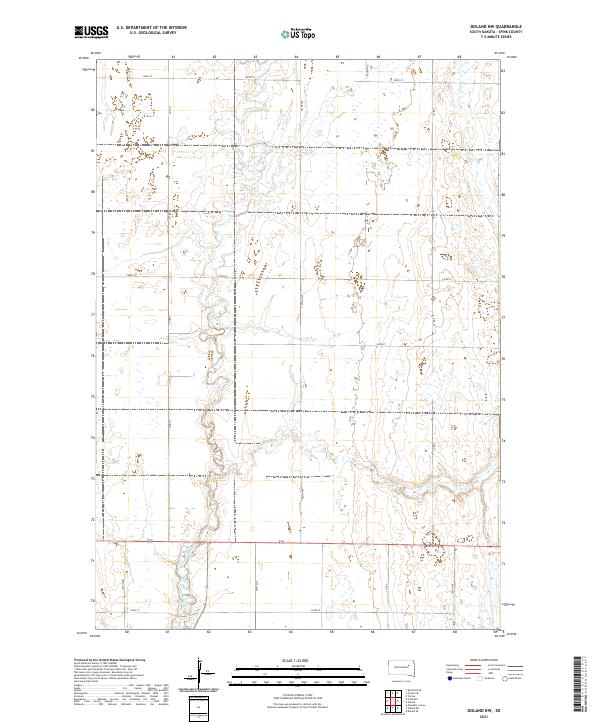 2021 Doland NW2021 Print · USGSSpink County's agricultural heartland is documented here in the early twenty-first century, showing a landscape defined by section-line roads and prairie hydrology. Researchers can trace the winding course of Timber Creek and locate rural properties along Co Rd 7 and 165th St.
 - 2021 Map of Tulare NW, 2021 Print
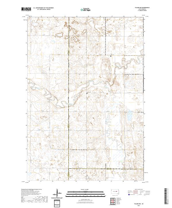 2021 Tulare NW2021 Print · USGSThe rural intersection of Hand, Spink, and Beadle counties is captured here in the early twenty-first century. Genealogists and local historians can locate Saint John's Cem and Buffalo Cem tucked among the drainages of Turtle Creek.
 - 2021 Map of Tulare, 2021 Print
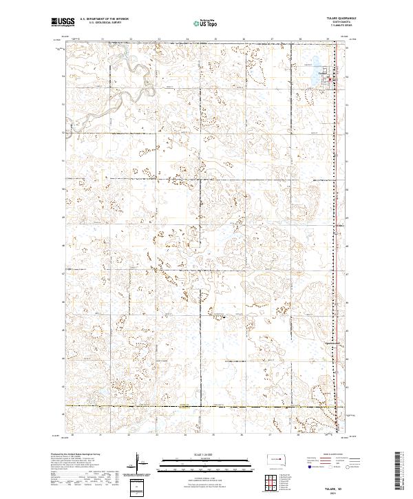 2021 Tulare2021 Print · USGSSpink County agriculture and the prairie landscape of eastern South Dakota are documented in this recent survey. Local historians and genealogists can trace the rural infrastructure around Tulare and locate the Garfield Cem and the settlement of Spottswood.
 - 2021 Map of Ashton, 2021 Print
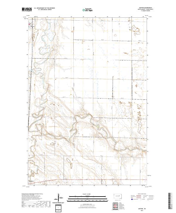 2021 Ashton2021 Print · USGSSpink County's river-bottom lands are captured here during the early twenty-first century as the James River winds between local townships. Genealogists and researchers can trace the rural infrastructure around Ashton, follow the path of Railroad Ln, and locate early homestead sites near Snake Cr.
 - 2021 Map of Doland SE, 2021 Print
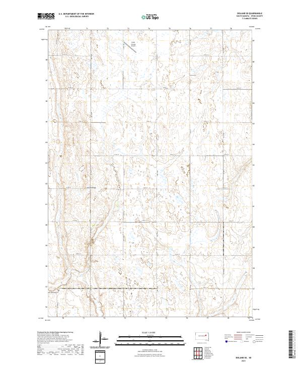 2021 Doland SE2021 Print · USGSSpink County, South Dakota is shown here in the modern era, dominated by the rise of Doland Ridge and the prairie wetland landscape. Genealogists and local historians can trace the rural section lines and find landmarks like Hofer Private Airport and Co Rd 22.
 - 2021 Map of Bloomfield, 2021 Print
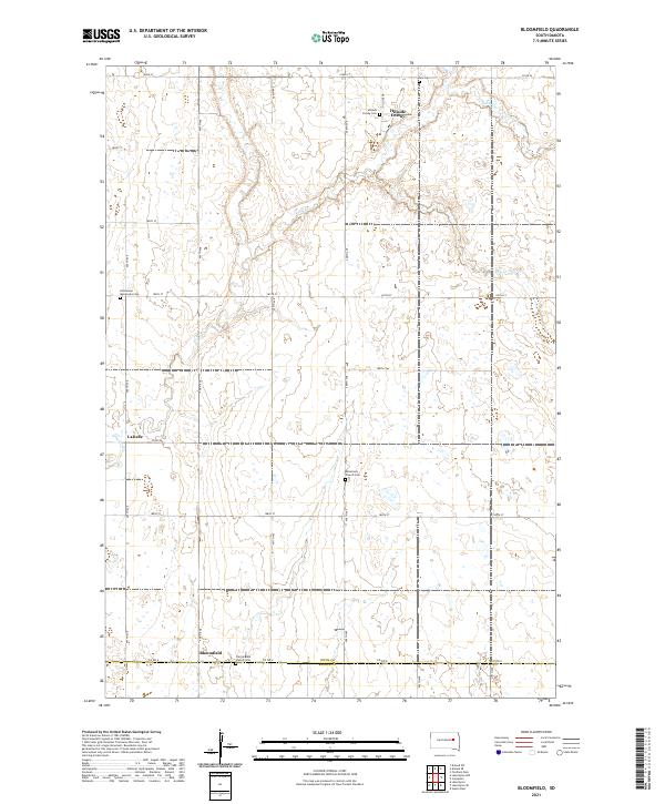 2021 Bloomfield2021 Print · USGSThe Spink and Beadle County border comes into focus in this recent study of South Dakota's rural heartland. Local historians can trace the community life of Hillside Colony and Bloomfield through landmarks like the Missionary Church Cem and Prairie Bible Church Cem.
 - 2021 Map of Zell, 2021 Print
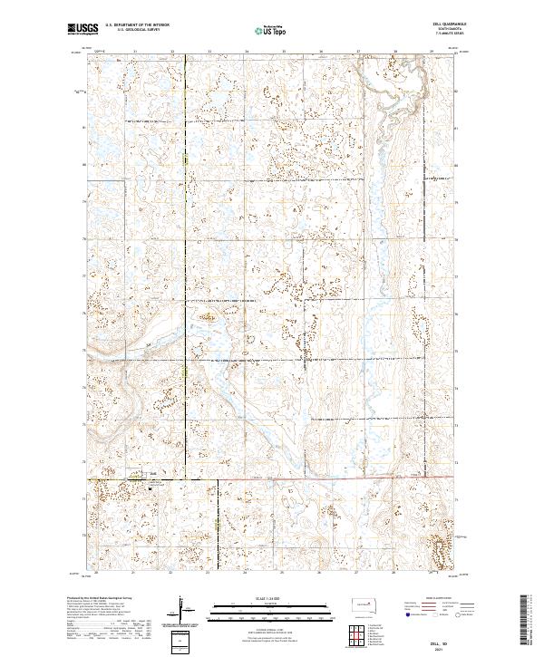 2021 Zell2021 Print · USGSThe intersection of Spink, Faulk, and Hand counties is documented here in the early twenty-first century. Genealogists and local researchers can locate the settlement of Zell and the grounds of Saint Marys Catholic Cem along the winding Dove Creek.
 - 2021 Map of Redfield SW, 2021 Print
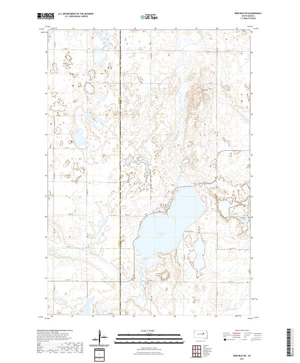 2021 Redfield SW2021 Print · USGSThe Spink County prairie comes to life in the early 2020s, centered on the prominent waters of Cottonwood Lake. Local historians can trace the intersection of the Hand and Spink County line near family-named landmarks like Bald Mtn and the path of Medicine Creek.
 - 2021 Map of Glendale Colony, 2021 Print
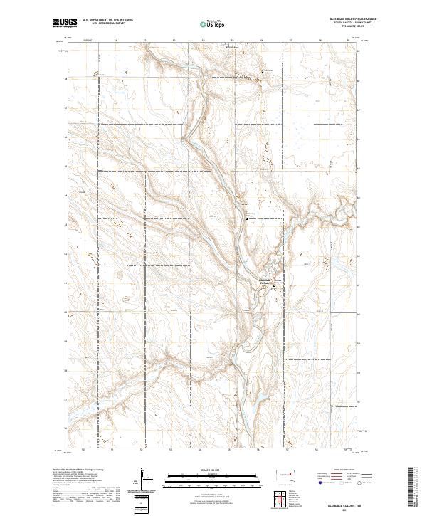 2021 Glendale Colony2021 Print · USGSThe James River valley in Spink County remains a landscape of communal settlement and prairie agriculture in this recent survey. Local researchers can trace the roads and cemeteries of the region, from the Glendale Colony to Trinity Cem and Guttenberg Cem.
 - 2021 Map of Mellette, 2021 Print
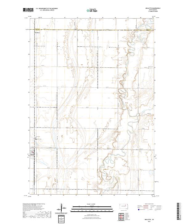 2021 Mellette2021 Print · USGSSpink County agriculture and the winding James River valley define this South Dakota landscape in the early 2020s. Genealogists and researchers can locate the town of Mellette, the smaller Duxbury, and local landmarks like Bethany Cem and Calvary Cem.
 - 2021 Map of Gallup, 2021 Print
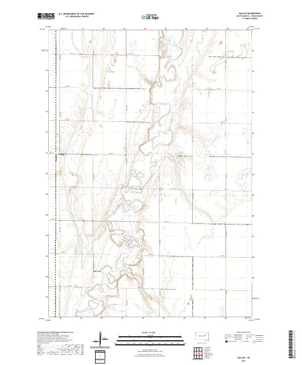 2021 Gallup2021 Print · USGSThe glacial plains of Spink County are captured here in the early twenty-first century, centered on the winding James River. Genealogists and local historians can locate the settlement of Gallup and trace property boundaries across townships like T119N R64W.
 - 2021 Map of Brentford SE, 2021 Print
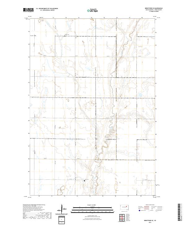 2021 Brentford SE2021 Print · USGSAgricultural life in Spink County remains centered on the prairie and the winding course of Dry Run. Researchers can locate historic family sites at Baldwin Cem and Clifton Cem along the rural grid of 395th Ave.
 - 2021 Map of Randolph, 2021 Print
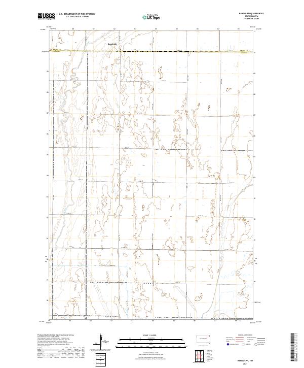 2021 Randolph2021 Print · USGSSpink County and Brown County meet in this agricultural landscape during the early twenty-first century. A researcher can trace the sparsely populated section lines around the settlement of Randolph or follow the drainage of Dry Run through the western plains.
 - 2021 Map of Athol, 2021 Print
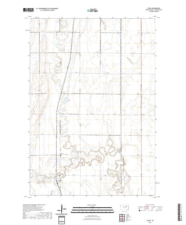 2021 Athol2021 Print · USGSThe rural landscape of Spink County is captured here in the early twenty-first century, centered on the small community of Athol. Genealogists and local historians can locate Saint Mary's Cem and Athol Cem along the winding banks of Snake Creek.
 - 2021 Map of Crocker SW, 2021 Print
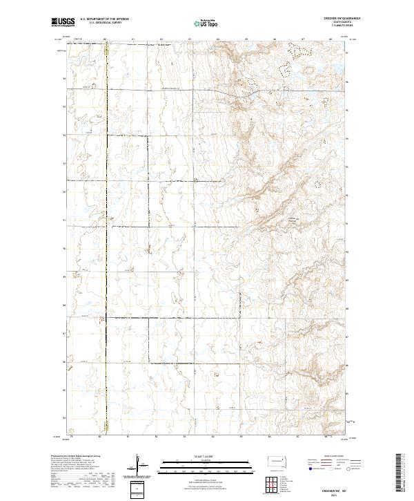 2021 Crocker SW2021 Print · USGSThe high glacial plateau of eastern South Dakota is captured here in the early twenty-first century. Genealogists and land researchers can trace property boundaries and section lines along the Spink Co Clark Co line and S Dakota Highway 20.
 - 2021 Map of Chelsea, 2021 Print
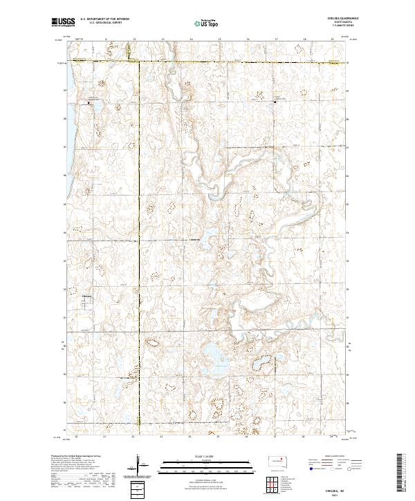 2021 Chelsea2021 Print · USGSThe crossroads community of Chelsea and the surrounding prairie are captured here in the early 2020s. Genealogists and local historians can trace burial sites at Scatterwood Lakeside Cem and Trinity Lutheran Cem or follow the winding course of Snake Creek.
 - 2021 Map of Conde SW, 2021 Print
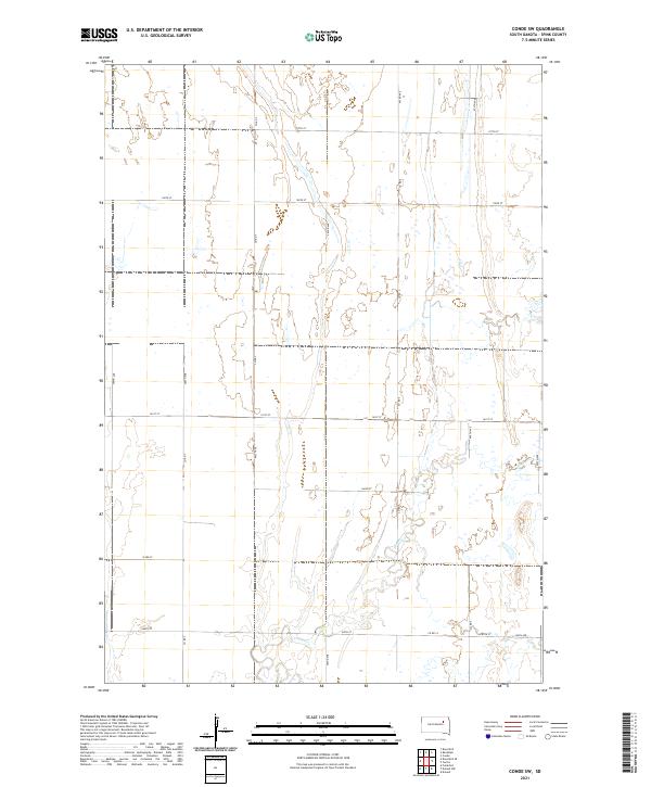 2021 Conde SW2021 Print · USGSSpink County’s rural landscape is captured here in the early twenty-first century, showcasing the expansive agricultural grid of eastern South Dakota. Genealogists and land researchers can trace property locations and section lines along Co Rd 7 or follow the winding path of Timber Cr.
Showing maps 1-25 of 35
Top cities of Spink County
Frequently asked questions
- What are the different types of historical maps available for Spink County?
- What is the oldest map of Spink County?
- Where can I purchase historical maps of Spink County for my home or office?
- Where can I download high-res historical maps of Spink County?
- Are there historical topographic maps available for Spink County?
- Is there historical aerial imagery available for Spink County?
- Where are historical maps of Spink County sourced from?