Old Maps of St. Francis, St. Francis Segment for Metal Detecting
Plan your next treasure hunt with 8 historic maps of St. Francis. Find old homesites, ghost towns, trails, and gathering spots that may be lost to time — perfect for identifying promising metal detecting locations.
- Locate forgotten sites: Uncover places like long-lost settlements, abandoned rail lines, or gathering spots.
- Plan better hunts: Use map overlays combined with LiDAR or satellite views to narrow in on historically rich areas.
- Made for detectorists: Thousands of hobbyists use these maps to discover relics, coins, and hidden history.
Use these historic maps to boost your research and find new opportunities beneath the surface of St. Francis.
St. Francis, St. Francis Segment maps
(8)- 1955 Map of Martin, 1968 Print
 1955 Martin1968 Print · USGSTribal lands and rail corridors define the South Dakota plains in the mid-fifties, from the sand hills to the badlands. Genealogists and historians can trace the early layout of Pine Ridge Indian Reservation settlements and find small rail towns like Stamford and Witten.2 unique versions available
 - 1958 Map of Martin
 1958 Martin1958 Print · USGSSouth Dakota's southern plains are documented here in the late fifties, showing the expansive Pine Ridge and Rosebud Indian Reservations. Genealogists and historians can locate early settlements along the Chicago Milwaukee St Paul and Pacific line or find family roots near Martin and the Indian Cemetery.
 - 1969 Map of St. Francis, 1972 Print
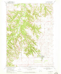 1969 St. Francis1972 Print · USGSThe Rosebud Indian Reservation in the late sixties is centered here on the settlement of St Francis. Researchers can trace the community layout of the time through the Mission Sch, Immaculate Conception Ch, and the rugged topography of Crazy Horse Canyon.
 - 1982 Map of Mission, 1983 Print
 1982 Mission1983 Print · USGSThe Rosebud Reservation in the early eighties shows a landscape of plains communities and aviation outposts. Genealogists and researchers can trace local centers like Mission, Rosebud, and St Francis, or locate family landmarks near Antelope Lake and the Keya Paha River.
 - 2012 Map of Saint Francis, 2012 Print
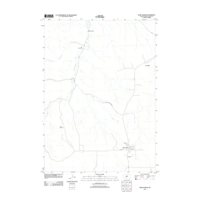 2012 Saint Francis2012 Print · USGSTodd County's rural landscape is captured here in the early twenty-first century, centered on the community of Saint Francis. Genealogists and local historians can trace the roads and waterways connecting Two Strike and Grass Mountain via the Iron Shell Bridge.
 - 2015 Map of Saint Francis, 2015 Print
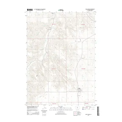 2015 Saint Francis2015 Print · USGSSaint Francis and the surrounding Rosebud country are shown in detail during the mid-2010s, revealing a landscape shaped by the winding Little White River. Genealogists and historians can trace local landmarks like Two Strike Bridge, Grass Mtn, and the streets of Saint Francis.
 - 2017 Map of Saint Francis, 2017 Print
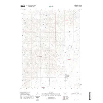 2017 Saint Francis2017 Print · USGSThe Rosebud Indian Reservation in Todd County is documented here during the late twenty-teens. Researchers can trace the layout of St. Francis, find the Saint Charles Catholic Cem, and locate landmarks like Crazy Horse Canyon.
 - 2021 Map of Saint Francis, 2021 Print
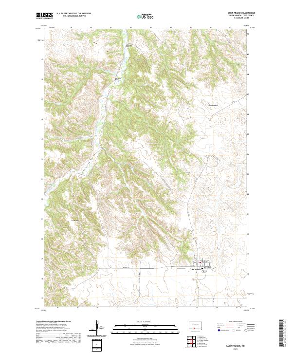 2021 Saint Francis2021 Print · USGSTodd County's high plains and river breaks are documented here in the early twenty-first century. Researchers can trace the community of St. Francis, locate the Saint Charles Catholic Cem, and identify crossings like the Iron Shell Bridge.
End of results
Showing maps 1-8 of 8
Top cities near St. Francis
Top neighborhoods of St. Francis
Frequently asked questions
- What are the different types of historical maps available for St. Francis?
- What is the oldest map of St. Francis?
- Where can I purchase historical maps of St. Francis for my home or office?
- Where can I download high-res historical maps of St. Francis?
- Are there historical topographic maps available for St. Francis?
- Is there historical aerial imagery available for St. Francis?
- Where are historical maps of St. Francis sourced from?