1980s Maps of Tripp County, South Dakota
Explore 29 historic maps of Tripp County from the 1980s. These maps offer a rare glimpse into what life looked like during the 1980s — showing old roads, neighborhoods, homes, and landmarks that have changed or disappeared over time.
Whether you're researching your family's past, planning a metal detecting trip, or studying how Tripp County's landscape evolved across the 1980s, these high-resolution maps are a powerful tool for exploring the history of this region.
- Focus on a specific era: All maps on this page are from the 1980s, giving you a focused view of this time period.
- See what’s changed: Compare century-old streets, trails, and buildings to today's modern landscape using overlays and satellite layers.
- Research with precision: Use these maps for genealogy, historical research, land use analysis, or educational projects.
- View, download, or print: Maps are fully viewable online in high resolution, and can be downloaded or printed for your own records.
Start exploring Tripp County's history through authentic maps from the 1980s. This is your window into the past.
Tripp County, SD maps
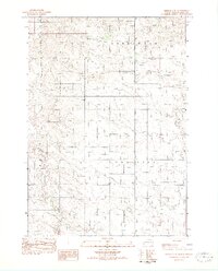
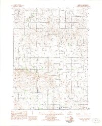
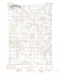
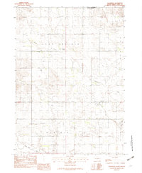
(29)- 1982 Map of Wewela
 1982 Wewela1982 Print · USGSThe South Dakota and Nebraska borderlands are captured here in the early eighties, centered on the Wewela community. Researchers can trace rural landmarks like St Pauls Ch and Congregational Cem near the Keya Paha River.
 - 1982 Map of Presho 4 SE
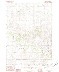
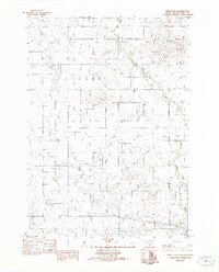
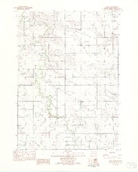
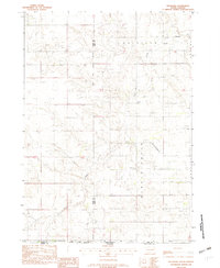
 1982 Presho 4 SE1982 Print · USGSTripp County townships are documented during the late seventies, showing a quiet prairie landscape shaped by winding waterways. Researchers can trace the location of the Eden Sch and early road networks along Cottonwood Creek or near Owl Creek.2 unique versions available
 - 1982 Map of King Dam
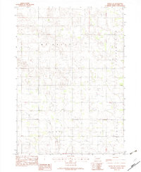
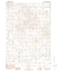
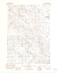 1982 King Dam1982 Print · USGSTripp County in the early eighties shows a sparse ranching landscape organized around essential water and wildlife areas. Genealogists and researchers can locate landmarks like Ideal Cem, the King Sch, and the winding Thunder Creek.
 - 1982 Map of Winner North
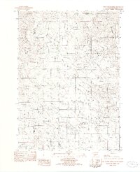
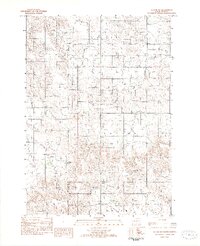
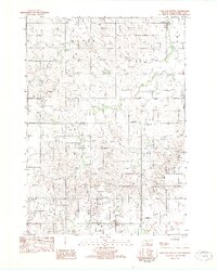
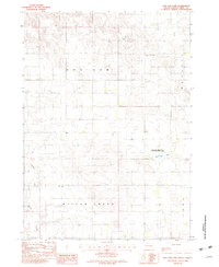
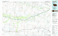
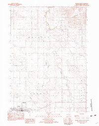 1982 Winner North1982 Print · USGSThe town of Winner and the surrounding Tripp County prairie are captured in the early 1980s as the regional landscape transitioned. Local researchers can trace the Old RR Grade, find the Cem, and locate landmarks like Bradleyon Butte and Bob Wiley Field.
 - 1982 Map of Witten SE
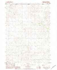
 1982 Witten SE1982 Print · USGSTripp County's rural townships are captured here in the early eighties, showing a landscape defined by prairie agriculture and conservation. Researchers can locate the NW Crystal Lake Sch and trace the paths of Dog Ear Creek and West Cottonwood Creek.
 - 1982 Map of Two Nation Creek
 1982 Two Nation Creek1982 Print · USGSThe high plains of Mellette and Tripp Counties are captured here in the early eighties as a landscape of isolated homesteads and prairie creeks. Researchers can locate the Pahapesto Sch, trace the winding Two Nation Creek, and find the remote Landing Strip and Gravel Pit sites.
 - 1982 Map of Millboro
 1982 Millboro1982 Print · USGSTripp County, South Dakota, and Nebraska’s northern edge are captured here in the early eighties as rural agriculture defined the state line. Genealogists and local historians can trace the Millboro townsite, the Keya Paha River valley, and family-associated landmarks like Cem and Rames.
 - 1982 Map of Keyapaha SE
 1982 Keyapaha SE1982 Print · USGSThe Keya Paha River valley in the early eighties shows a sparse ranching landscape along the South Dakota border. Genealogists and local historians can locate rural landmarks like the Church of God and the townships of Wortman and Huggins.
 - 1982 Map of Witten
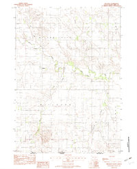
 1982 Witten1982 Print · USGSTripp County life in the early 1980s centers around the small community of Witten and its surrounding farm sections. Researchers can locate St John the Baptist Cem and trace the winding paths of Cottonwood Creek and Jordan Junction.
 - 1982 Map of Winner South
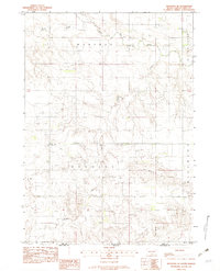
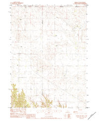
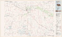
 1982 Winner South1982 Print · USGSWinner and its southern rural townships are captured in the early eighties as the agricultural landscape of Tripp County. Researchers can trace local development through landmarks like the Reilly Sch, the Rodeo Arena, and the Beaulieu Lake conservation area.
 - 1982 Map of Miller Hill
 1982 Miller Hill1982 Print · USGSTripp County in the early eighties exhibits a blend of traditional ranch land and mid-century development. Researchers can trace the Old RR Grade through the prairie or locate local landmarks like the Drive-In Theater and Miller Hill.
 - 1982 Map of Wewela NE
 1982 Wewela NE1982 Print · USGSTripp County townships in the early eighties were defined by wide agricultural stretches and sparse rural roads. Genealogists and land researchers can trace property lines through Mc Neely, Pleasant View, and Lake townships or locate the early Gravel Pit.
 - 1982 Map of Witten SW
 1982 Witten SW1982 Print · USGSTripp and Todd Counties are shown in the late 1970s and early 1980s along the edge of the Rosebud Indian Reservation. Genealogists and historians can trace township lines through Carter and Taylor while locating rural features like De Bell Creek.
 - 1982 Map of Clearfield
 1982 Clearfield1982 Print · USGSThe rural expanse of southern Tripp County is documented here in the early 1980s, centered on the settlement of Clearfield. Genealogists and local historians can trace the foundations of this community through landmarks like the Star Prairie Ch and the Star Prairie Sch.
 - 1982 Map of Ideal
 1982 Ideal1982 Print · USGSTripp County's rural landscape is captured here in the late seventies, showing the township structures of the southern plains. Local historians can trace the foundations of Ideal, find the Star Valley School, and follow the path of Dog Ear Creek.
 - 1982 Map of Keyapaha NW
 1982 Keyapaha NW1982 Print · USGSTripp County and the edge of the Rosebud Reservation are captured here in the early eighties. Genealogists and local historians can trace rural landmarks such as Jerusalem Cem, Gabler Sch, and the winding path of the Keya Paha River.
 - 1982 Map of Dog Ear Buttes
 1982 Dog Ear Buttes1982 Print · USGSTripp County rangeland comes into focus in the early eighties, showing a landscape of remote prairie schools and winding creek beds. Genealogists and local researchers can trace the roads around Dog Ear Buttes, Weaver Sch, and the township of Mc Neely.
 - 1982 Map of Carter
 1982 Carter1982 Print · USGSTripp County and the surrounding tribal lands are captured here in the early eighties as rail service gave way to rural roads. Genealogists and local historians can trace the boundary of the Rosebud Indian Res and locate sites like Carter or the Schlakker Landing Strip.
 - 1982 Map of Keyapaha
 1982 Keyapaha1982 Print · USGSIn the early 1980s, the plains of Tripp County remained a quiet agricultural landscape defined by the Rosebud Indian Reservation Boundary. Genealogists and researchers can trace local landmarks like Linden Pioneer Cem, St Anns Ch, and the Beaver Creek Sch.
 - 1982 Map of Dog Ear Lake, 1983 Print
 1982 Dog Ear Lake1983 Print · USGSTripp County ranching country is captured here during the late 1970s and early 1980s, centered on the waters of Dog Ear Lake. Genealogists and local historians can locate rural landmarks like Lakeview Ch, Willow Creek Sch, and the Dog Ear Lake State Game Production Area.
 - 1982 Map of Mission, 1983 Print
 1982 Mission1983 Print · USGSThe Rosebud Reservation in the early eighties shows a landscape of plains communities and aviation outposts. Genealogists and researchers can trace local centers like Mission, Rosebud, and St Francis, or locate family landmarks near Antelope Lake and the Keya Paha River.
 - 1983 Map of Hayford Lake, 1984 Print
 1983 Hayford Lake1984 Print · USGSThe ranching landscape of the Nebraska-South Dakota border comes into focus in the early eighties. Genealogists and local historians can trace family-named landmarks such as Mf Ranch, Worth Ranch, and Rose Valley Ranch situated near the waters of Hayford Lake.
 - 1983 Map of Norden NW, 1984 Print
 1983 Norden NW1984 Print · USGSRanching life on the Nebraska-South Dakota border is detailed in this early 1980s survey of the High Plains. Genealogists and local historians can locate family landmarks like Lawrence Ranch, Sparks Cem, and the Shadley Creek Sch.
 - 1985 Map of Ainsworth
 1985 Ainsworth1985 Print · USGSThe Nebraska-South Dakota borderlands come into focus in the mid-1980s, documenting a landscape of river breaks and remote ranching hubs. Genealogists can trace the rural layout of Ainsworth, Bassett, and Springview or follow the Chicago and North Western rail line.2 unique versions available
 - 1985 Map of Valentine
 1985 Valentine1985 Print · USGSThe Nebraska Sandhills in the mid-1980s reveal a landscape of vast wildlife refuges and rail-linked prairie towns. Researchers can trace the Chicago and North Western corridor through Kilgore and Valentine or locate remote landmarks like Snake River Falls.2 unique versions available
Showing maps 1-25 of 29
Top cities of Tripp County
- Winner historical maps
- Colome historical maps
- Ideal Segment historical maps
- Ideal historical maps
- Carter historical maps
- Millboro historical maps
See more
Frequently asked questions
- What are the different types of historical maps available for Tripp County?
- What is the oldest map of Tripp County?
- Where can I purchase historical maps of Tripp County for my home or office?
- Where can I download high-res historical maps of Tripp County?
- Are there historical topographic maps available for Tripp County?
- Is there historical aerial imagery available for Tripp County?
- Where are historical maps of Tripp County sourced from?