2000s (21st Century) Maps of Tripp County, South Dakota
Explore 172 historic maps of Tripp County from the 2000s (21st Century). These maps offer a rare glimpse into what life looked like during the 2000s — showing old roads, neighborhoods, homes, and landmarks that have changed or disappeared over time.
Whether you're researching your family's past, planning a metal detecting trip, or studying how Tripp County's landscape evolved across the 2000s, these high-resolution maps are a powerful tool for exploring the history of this region.
- Focus on a specific era: All maps on this page are from the 2000s, giving you a focused view of this time period.
- See what’s changed: Compare century-old streets, trails, and buildings to today's modern landscape using overlays and satellite layers.
- Research with precision: Use these maps for genealogy, historical research, land use analysis, or educational projects.
- View, download, or print: Maps are fully viewable online in high resolution, and can be downloaded or printed for your own records.
Start exploring Tripp County's history through authentic maps from the 2000s. This is your window into the past.
Tripp County, SD maps
(172)- 2011 Map of Springview NW, 2011 Print
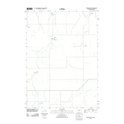 2011 Springview NW2011 Print · USGSKeya Paha County, Nebraska, is seen here in the early twenty-first century as a landscape of rural ranching and managed water. Researchers can locate family landmarks like Kenaston Cemetery and Jordan Cemetery or trace the Keya Paha River to the Dubel Bridge.
 - 2011 Map of Meadville NW, 2011 Print
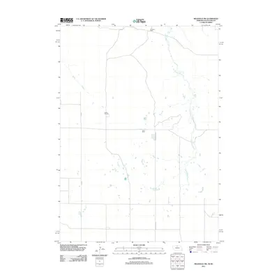 2011 Meadville NW2011 Print · USGSKeya Paha County ranchland is shown in detail during the early 21st century, highlighting the sprawling cattle operations along the Nebraska-South Dakota border. Genealogists and local historians can trace family ties at Heerten Cemetery or locate the boundaries of the Schroeder Ranch and Weston Ranch.
 - 2011 Map of Burton, 2011 Print
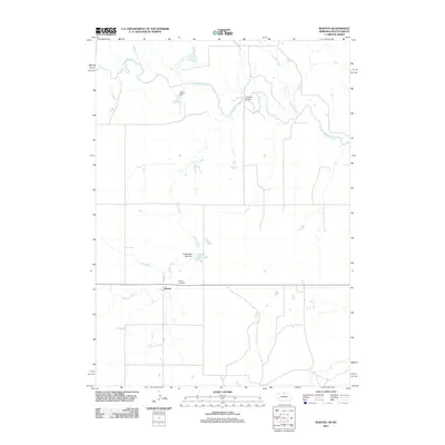 2011 Burton2011 Print · USGSKeya Paha County life is captured here in the early twenty-first century, showing the rural landscape near the South Dakota border. Genealogists and local historians can trace the community around Burton, identifying sites like the Burton Cemetery and the waters of the Keya Paha River.
 - 2011 Map of Meadville NE, 2011 Print
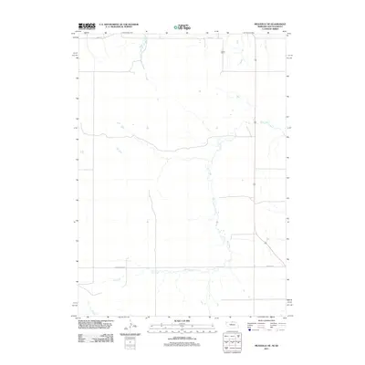 2011 Meadville NE2011 Print · USGSKeya Paha County's ranching frontier is captured here in the early twenty-first century, documenting a remote borderland landscape. Researchers can trace land use at Gierau Ranch and follow the paths of Holt Creek and Highway 183.
 - 2011 Map of Norden NW, 2011 Print
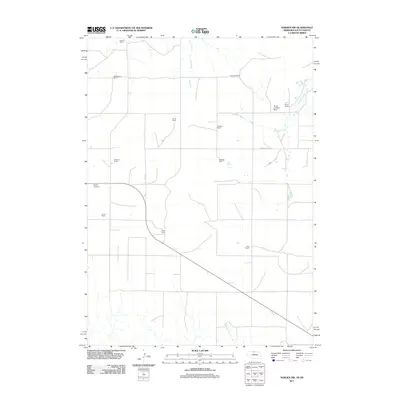 2011 Norden NW2011 Print · USGSThe ranchlands of the Nebraska-South Dakota border are captured here in the early 21st century, showing a landscape defined by expansive family estates. Genealogists and local historians can trace the boundaries of the Foster Ranch, locate the Sparks Cemetery, and follow the path of Shadley Creek.
 - 2011 Map of Hayford Lake, 2011 Print
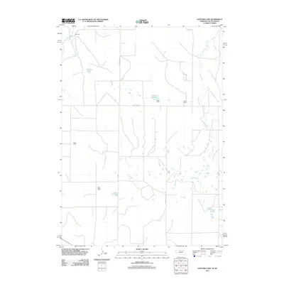 2011 Hayford Lake2011 Print · USGSKeya Paha County ranching country is captured here in the early twenty-first century, showcasing a vast landscape of prairie drainages and family-held land. Genealogists and historians can locate established holdings like Worth Ranch and Keogh Ranch alongside Hayford Lake.
 - 2012 Map of West of Ideal, 2012 Print
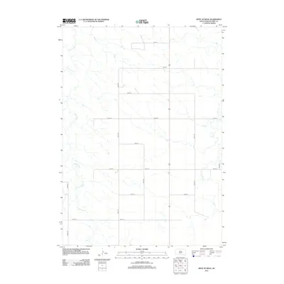 2012 West of Ideal2012 Print · USGSTripp County at the start of the 2010s remains a landscape of precise section lines and seasonal drainages. Genealogists and researchers can trace rural property boundaries along 264th St or follow the natural course of Cottonwood Cr.
 - 2012 Map of Clearfield, 2012 Print
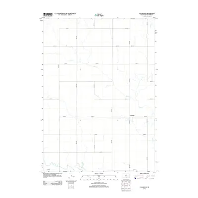 2012 Clearfield2012 Print · USGSClearfield and the surrounding Tripp County prairie are captured here at the start of the 2010s. Local researchers can trace the rural road network and water courses like the Keya Paha River, Willow Cr, and the small settlement of Clearfield.
 - 2012 Map of Witten SE, 2012 Print
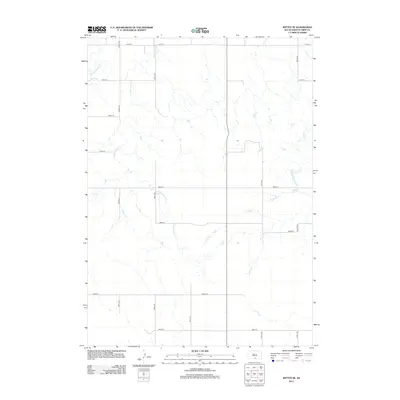 2012 Witten SE2012 Print · USGSTripp County ranching country is mapped here in the early twenty-first century, showing the enduring grid of the High Plains. Genealogists and land researchers can trace property access and drainage along W Cottonwood Cr and 304th Ave.
 - 2012 Map of Carter, 2012 Print
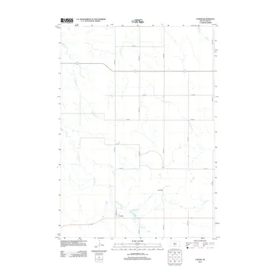 2012 Carter2012 Print · USGSThe rural prairie landscape around Tripp County comes into focus in this early 2010s survey. Genealogists and researchers can trace the small street grid of Carter, follow the winding De Bell Cr, and locate the Carter Dam Reservoir.
 - 2012 Map of Keyapaha NW, 2012 Print
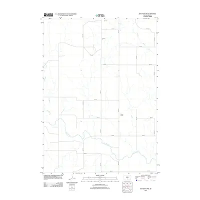 2012 Keyapaha NW2012 Print · USGSTodd County's high plains are documented here in the early twenty-first century, showing a remote landscape defined by the winding Keya Paha River. Researchers can locate the Jerusalem Cem and track local topography around the Dorian Buttes.
 - 2012 Map of Keyapaha, 2012 Print
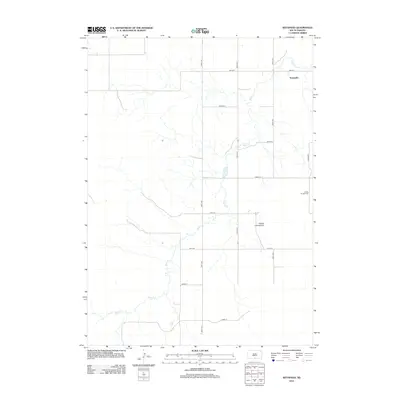 2012 Keyapaha2012 Print · USGSKeyapaha and the surrounding plains of southern Tripp County are documented here in the early twenty-first century. Researchers can locate the Linden Pioneer Cem and trace the drainage of Sand Cr near the Huddle Landing Strip.
 - 2012 Map of Witten SW, 2012 Print
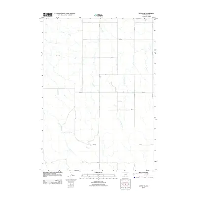 2012 Witten SW2012 Print · USGSTodd County ranching country is documented here during the early twenty-first century, showing the enduring grid of the prairie. Genealogists and researchers can trace land boundaries along E White Horse Cr, De Bell Cr, and 285th St.
 - 2012 Map of Two Nation Creek, 2012 Print
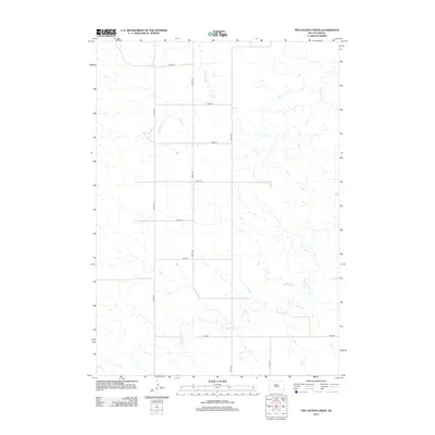 2012 Two Nation Creek2012 Print · USGSMellette County, South Dakota, is captured in the early twenty-first century, showing a landscape defined by prairie watercourses and section lines. Genealogists and researchers can trace the paths of Two Nation Creek, Little Dog Creek, and 297th Ave through this rural territory.
 - 2012 Map of Witten, 2012 Print
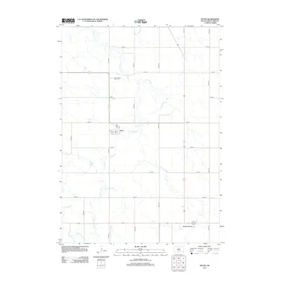 2012 Witten2012 Print · USGSTripp County at the beginning of the twenty-first century reveals a landscape defined by the intersection of rural townships and winding prairie creeks. Researchers can trace family sites near Saint John the Baptist Cem or explore the layout of Witten and Jordan Junction.
 - 2012 Map of Ideal, 2012 Print
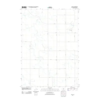 2012 Ideal2012 Print · USGSTripp County's agricultural heartland is captured here during the early twenty-first century. Researchers can trace the section lines around Ideal or locate specific landmarks like the Heller Landing Strip and the winding course of Dog Ear Cr.
 - 2012 Map of Rattlesnake Butte West, 2012 Print
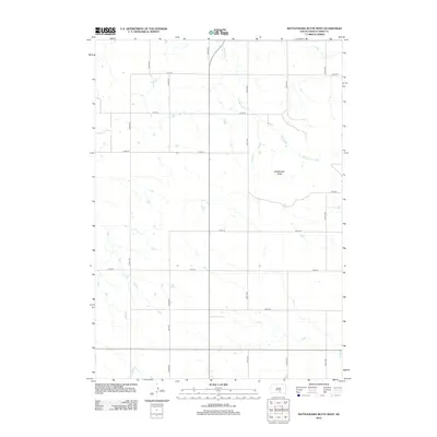 2012 Rattlesnake Butte West2012 Print · USGSTripp County's rural landscape is captured here in the early twenty-first century, showing the enduring grid of the South Dakota prairie. Genealogists and local historians can trace land tracts near Rattlesnake Butte and the drainage of No Moccasin Cr.
 - 2012 Map of Dallas, 2012 Print
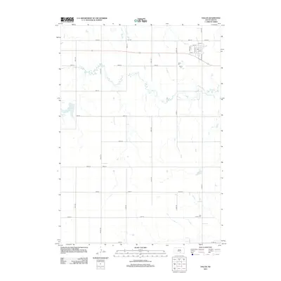 2012 Dallas2012 Print · USGSGregory County farmland and the town of Dallas are shown in this 2012 study, during a time when the rural landscape remained anchored by its section roads and small cemeteries. Researchers can locate Dallas Cem, Hillview Cem, and the path of Ponca Creek.
 - 2012 Map of Hamill SE, 2012 Print
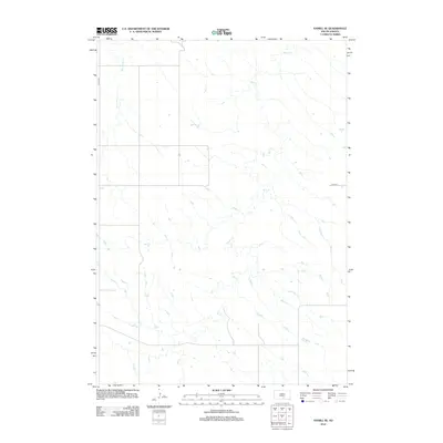 2012 Hamill SE2012 Print · USGSThe South Dakota prairie appears in the early twenty-first century as a landscape defined by its natural watercourses and sparse section-line roads. Genealogists and land researchers can trace the drainage patterns of Bull Creek and Black Dog Creek alongside local routes like 264th St.
 - 2012 Map of Paxton, 2012 Print
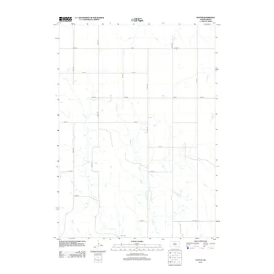 2012 Paxton2012 Print · USGSThis South Dakota landscape near the Nebraska border shows the rural community of Paxton during the early twenty-first century. Genealogists and local historians can trace the paths of Buffalo Cr and Lute Cr as they weave through a grid of local routes like Viaduct Rd.
 - 2012 Map of Rattlesnake Butte East, 2012 Print
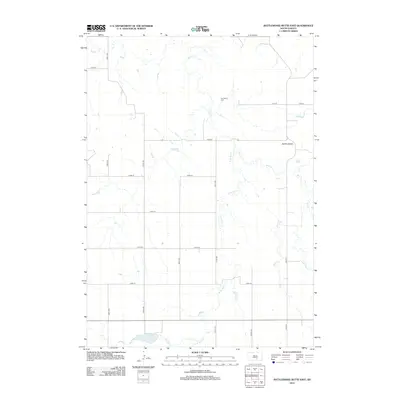 2012 Rattlesnake Butte East2012 Print · USGSSouth Dakota's ranching country is mapped here in the early twenty-first century, showing a landscape shaped by prairie drainages and a rigid road grid. Researchers can locate Our Savior Cem and track the rugged terrain surrounding the Buffalo Buttes.
 - 2012 Map of Dallas SW, 2012 Print
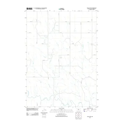 2012 Dallas SW2012 Print · USGSTripp County's rural landscape is captured here during the early twenty-first century, showing the enduring grid of section roads and prairie waterways. Genealogists and local historians can locate the Gibson Cem and trace the winding course of the Keya Paha River.
 - 2012 Map of Ideal NW, 2012 Print
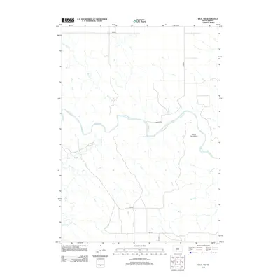 2012 Ideal NW2012 Print · USGSThe ranchlands of Tripp County are defined by the winding course of the White River in the early twenty-first century. Researchers can trace the layout of family-run operations like Christensen Ranch and Kewley Ranch alongside landmarks like Gunny Sack Bottom.
 - 2012 Map of Wewela, 2012 Print
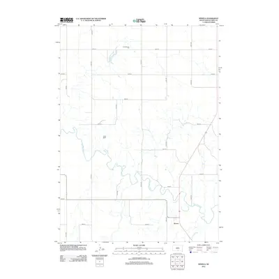 2012 Wewela2012 Print · USGSThe southern borderlands of Tripp County come into focus during this era, centered on the Keya Paha River and the rural settlement of Wewela. Genealogists and local historians can trace the grid of section roads to find the Congregational Cem or locate the landmark of Turtle Butte.
 - 2012 Map of Miller Hill, 2012 Print
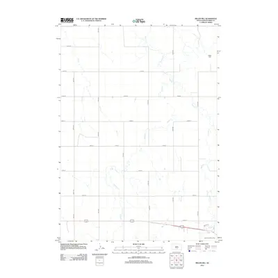 2012 Miller Hill2012 Print · USGSTripp County in the early twenty-first century reveals a structured agricultural landscape shaped by high-plains watercourses. Researchers can trace rural property access along Dreyer Ave and locate features like Miller Hill and the Brown Landing Strip.
Showing maps 1-25 of 172
Top cities of Tripp County
- Winner historical maps
- Colome historical maps
- Ideal Segment historical maps
- Ideal historical maps
- Carter historical maps
- Millboro historical maps
See more
Frequently asked questions
- What are the different types of historical maps available for Tripp County?
- What is the oldest map of Tripp County?
- Where can I purchase historical maps of Tripp County for my home or office?
- Where can I download high-res historical maps of Tripp County?
- Are there historical topographic maps available for Tripp County?
- Is there historical aerial imagery available for Tripp County?
- Where are historical maps of Tripp County sourced from?