2020s Maps of Tripp County, South Dakota
Explore 43 historic maps of Tripp County from the 2020s. These maps offer a rare glimpse into what life looked like during the 2020s — showing old roads, neighborhoods, homes, and landmarks that have changed or disappeared over time.
Whether you're researching your family's past, planning a metal detecting trip, or studying how Tripp County's landscape evolved across the 2020s, these high-resolution maps are a powerful tool for exploring the history of this region.
- Focus on a specific era: All maps on this page are from the 2020s, giving you a focused view of this time period.
- See what’s changed: Compare century-old streets, trails, and buildings to today's modern landscape using overlays and satellite layers.
- Research with precision: Use these maps for genealogy, historical research, land use analysis, or educational projects.
- View, download, or print: Maps are fully viewable online in high resolution, and can be downloaded or printed for your own records.
Start exploring Tripp County's history through authentic maps from the 2020s. This is your window into the past.
Tripp County, SD maps
(43)- 2021 Map of Norden NW, 2021 Print
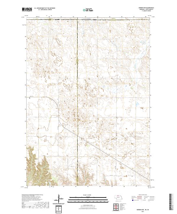 2021 Norden NW2021 Print · USGSThe Nebraska-South Dakota borderlands in the early 2020s remain a landscape of vast cattle range and quiet section roads. Genealogists and local historians can locate the Sparks Cem and trace the paths of Shadley Cr and Coleman Cr through the hills.
 - 2021 Map of Hayford Lake, 2021 Print
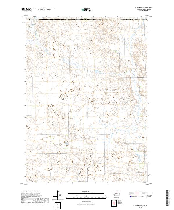 2021 Hayford Lake2021 Print · USGSThe Nebraska and South Dakota borderlands remain a landscape of isolated ranching and high plains hydrology in the early twenty-first century. Researchers can trace the drainage patterns of Shadley Cr and Lost Cr or locate family interests near Hayford Lake.
 - 2021 Map of Burton, 2021 Print
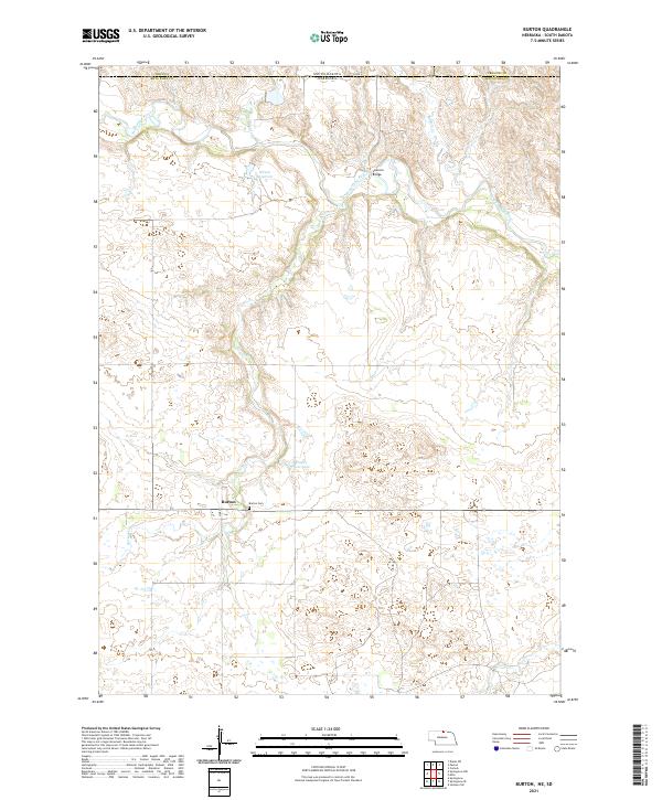 2021 Burton2021 Print · USGSThe high plains of Keya Paha County meet the South Dakota border in this recent survey of the Nebraska panhandle region. Researchers can locate the Burton Cem near the town of Burton, and trace the path of the Keya Paha River past Leavens Bridge.
 - 2021 Map of Meadville NE, 2021 Print
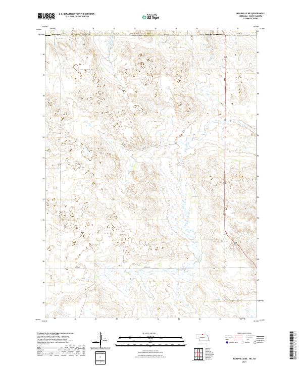 2021 Meadville NE2021 Print · USGSKeya Paha County at the South Dakota border appears in this modern survey of Nebraska’s northern plains. Genealogists and land researchers can trace property boundaries and the vital water sources of Holt Cr and Timber Cr.
 - 2021 Map of Meadville NW, 2021 Print
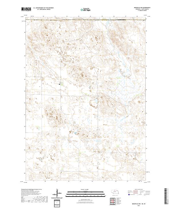 2021 Meadville NW2021 Print · USGSThe Nebraska-South Dakota borderlands come into focus in this recent survey of the rural landscape where Keya Paha and Tripp counties meet. Genealogists and local researchers can pinpoint the Lost Creek Cemetery and trace the path of Cottonwood Creek.
 - 2021 Map of Springview NW, 2021 Print
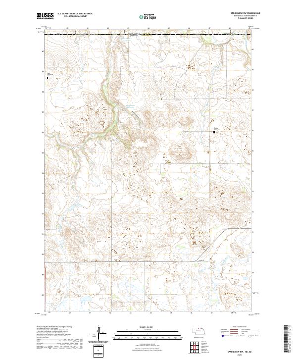 2021 Springview NW2021 Print · USGSKeya Paha County and the South Dakota borderlands are shown here in the early twenty-first century as a landscape of remote ranching and essential water management. Genealogists and local historians can locate West Enterprise Cem and Jordan Valley Cem, or trace the winding course of the Keya Paha Riv and Deckers Gulch.
 - 2021 Map of Wewela, 2021 Print
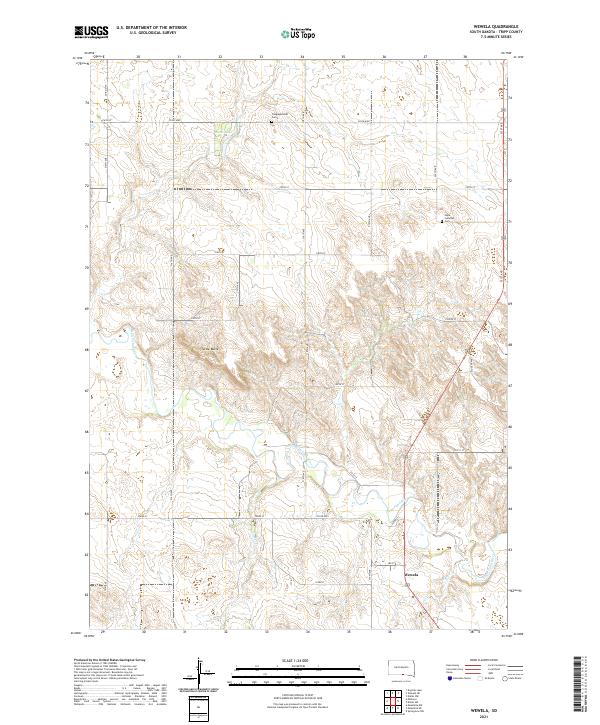 2021 Wewela2021 Print · USGSNear the South Dakota-Nebraska border, this recent survey captures the rural character of the Keya Paha River valley. Local historians and genealogists can trace the location of Wewela and sites like Congregational Cem or Turtle Butte.
 - 2021 Map of Ideal, 2021 Print
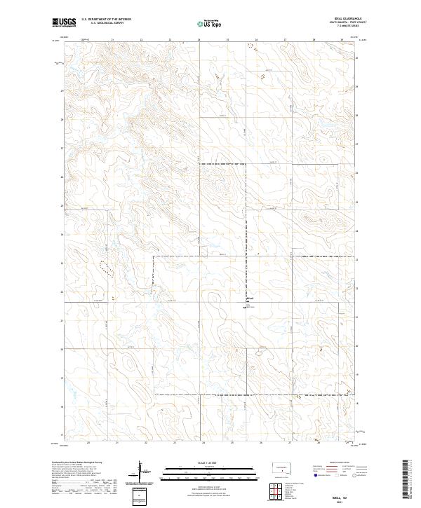 2021 Ideal2021 Print · USGSTripp County, South Dakota, is captured in this recent survey during a period of enduring rural tradition. Local researchers can trace the intersection of section-line roads like 311th Ave and 263rd St, locating the Ideal settlement and the Holy Spirit Cem along the banks of Dog Ear Cr.
 - 2021 Map of Millboro, 2021 Print
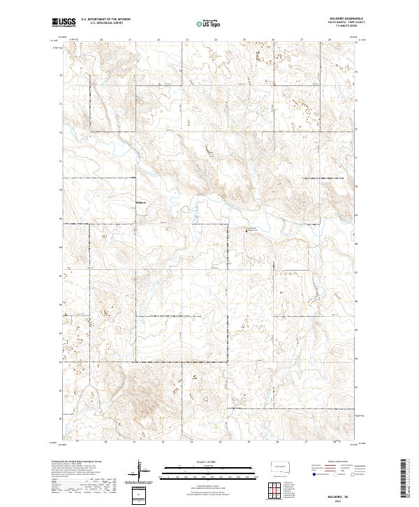 2021 Millboro2021 Print · USGSThe Tripp County plains near the Nebraska border come into focus in this recent survey. Researchers and genealogists can locate the rural settlement of Millboro, the Ascension Chapel Cem, and the winding Keya Paha River.
 - 2021 Map of Winner South, 2021 Print
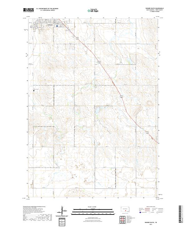 2021 Winner South2021 Print · USGSThe rural landscape south of Winner appears here in the early twenty-first century, showing the transition from the town grid to Tripp County rangeland. Researchers can locate the ZCBJ 237 Cem and trace seasonal waterways like Sand Creek and Beaulieu Lake.
 - 2021 Map of Hamill NE, 2021 Print
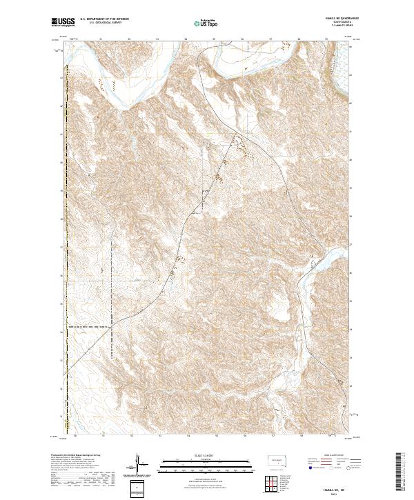 2021 Hamill NE2021 Print · USGSLyman and Tripp counties remain deeply rural in this recent survey of the South Dakota plains, where the White River shapes the local topography. Researchers can trace the section lines of 254th Ave and follow the remote paths of Bull Cr and Waver Tree Br.
 - 2021 Map of Colome SE, 2021 Print
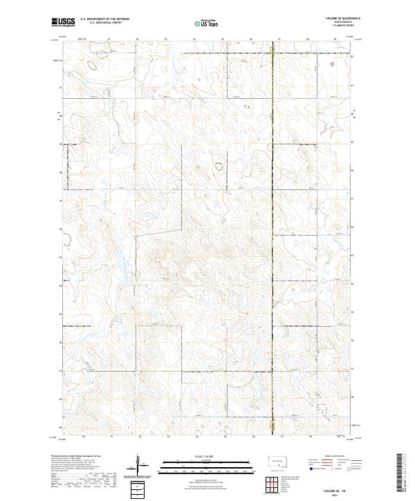 2021 Colome SE2021 Print · USGSThe South Dakota prairie landscape on the Tripp and Gregory county line comes into focus in the early 2020s. Researchers can trace the winding paths of West Branch Bull Creek and E Br Bull Cr alongside local thoroughfares like Viaduct Rd.
 - 2021 Map of Dog Ear Lake, 2021 Print
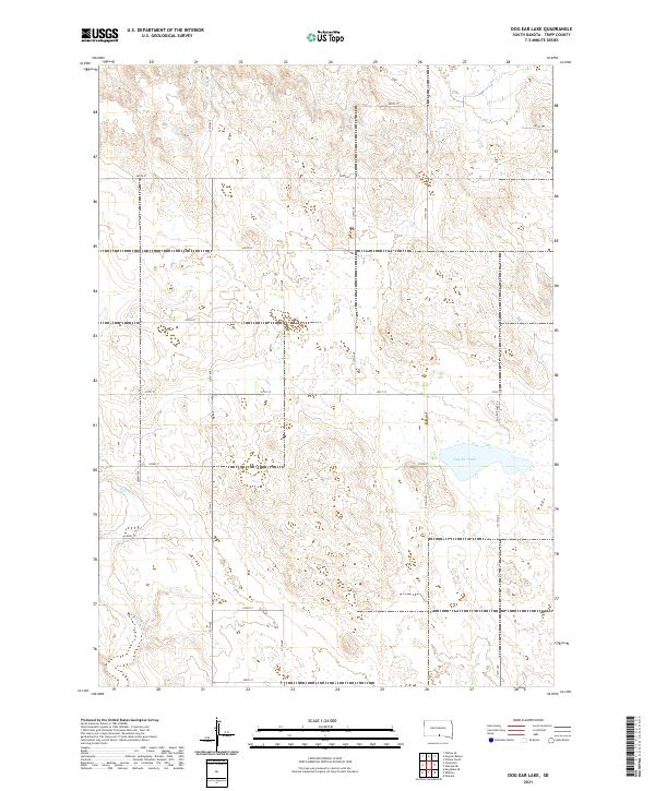 2021 Dog Ear Lake2021 Print · USGSTripp County, South Dakota, is captured here in the early twenty-first century, showing the remote township grids and water bodies of the prairie. Researchers can trace the path of Willow Cr or locate properties along Dog Ear Lake Rd and 287th St.
 - 2021 Map of Dog Ear Buttes, 2021 Print
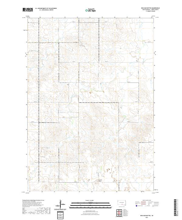 2021 Dog Ear Buttes2021 Print · USGSTripp County, South Dakota, is depicted in the early 2020s as a quiet landscape of open range and section-line roads. Genealogists and historians can trace the paths of Dog Ear Cr and Hollow Cr near the prominent Dog Ear Buttes.
 - 2021 Map of Wewela NE, 2021 Print
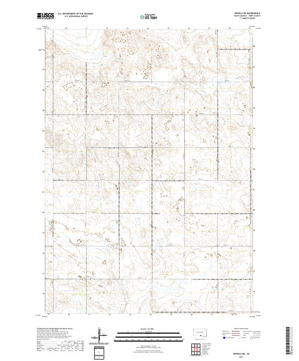 2021 Wewela NE2021 Print · USGSTripp County ranchlands are captured here in the modern era, showing a landscape defined by the Public Land Survey System and the path of Ponca Cr. Trace the rural road network along 318th Ave and 287th St to locate family homesteads and section boundaries.
 - 2021 Map of Dallas, 2021 Print
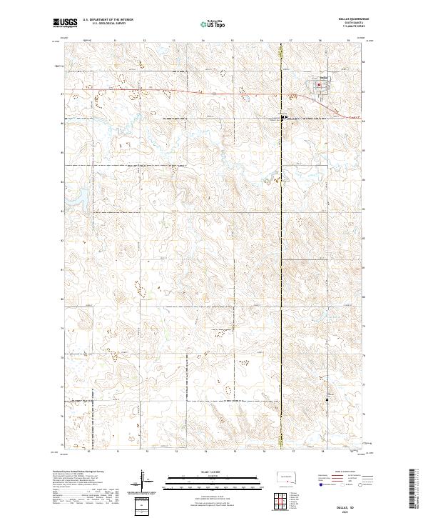 2021 Dallas2021 Print · USGSThe Gregory County plains around Dallas are mapped here at the start of the 2020s, showing a landscape of deep-rooted rural heritage. Researchers can locate family landmarks like Saint Augustine Catholic Cem, Hillview Cem, and the waters of Lake Dalton.
 - 2021 Map of Rattlesnake Butte West, 2021 Print
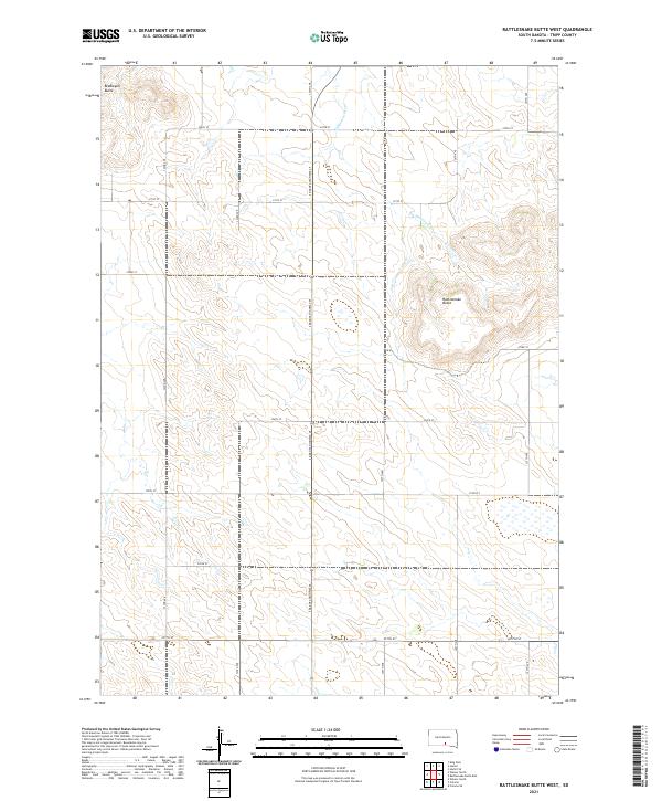 2021 Rattlesnake Butte West2021 Print · USGSThe open ranchlands of southern Tripp County are captured here in the early twenty-first century, showing a landscape defined by isolated peaks and seasonal drainages. Researchers can trace the path of No Moccasin Cr and locate landmarks like Rattlesnake Butte and Bradleyon Butte.
 - 2021 Map of Winner North, 2021 Print
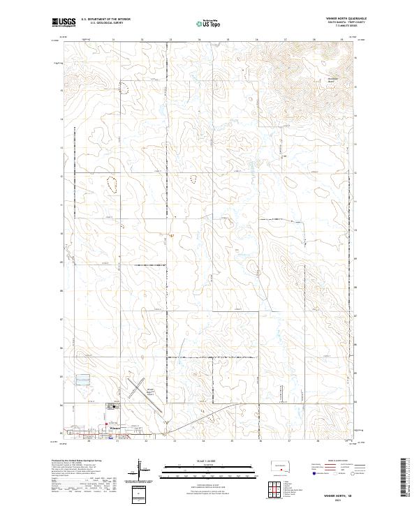 2021 Winner North2021 Print · USGSWinner and its surrounding prairie are documented in this recent survey of south-central South Dakota. Researchers can trace the town grid and landmarks like the Tripp County Courthouse and Winner City Cem, or follow the drainage of Thunder Cr toward Bradleyon Butte.
 - 2021 Map of Hamill SE, 2021 Print
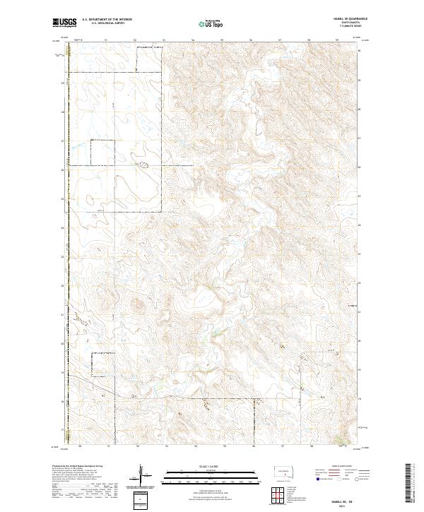 2021 Hamill SE2021 Print · USGSThe rural border of Lyman and Tripp counties comes into focus in this recent survey of the South Dakota prairie. Genealogists and land researchers can trace property boundaries across T102N R73W and locate the remote drainage basins of Bull Cr and Black Dog Cr.
 - 2021 Map of Hamill, 2021 Print
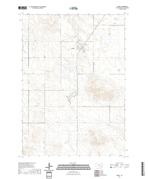 2021 Hamill2021 Print · USGSTripp County, South Dakota, is captured in this modern survey of the plains. Researchers can trace rural landmarks and family burial sites like Roseland Cem, follow the PO in Hamill, and locate water sources such as Covey Dam and No Moccasin Creek.
 - 2021 Map of Ideal NW, 2021 Print
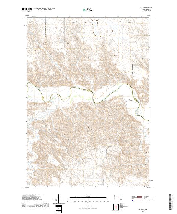 2021 Ideal NW2021 Print · USGSTripp and Lyman counties meet along the winding river valley in this modern survey of the South Dakota prairie. Researchers can trace the drainage of Mill Iron Creek and Dog Ear Creek or locate landmarks like Gunny Sack Bottom and the old Wagon Rd.
 - 2021 Map of Hamill NW, 2021 Print
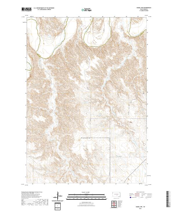 2021 Hamill NW2021 Print · USGSTripp and Lyman counties are seen here in the early 2020s where the winding channel of the White River meets the prairie. Researchers can trace the drainage of No Moccasin Cr and Black Dog Cr across a grid of rural routes like Deer Valley Rd.
 - 2021 Map of Ideal NE, 2021 Print
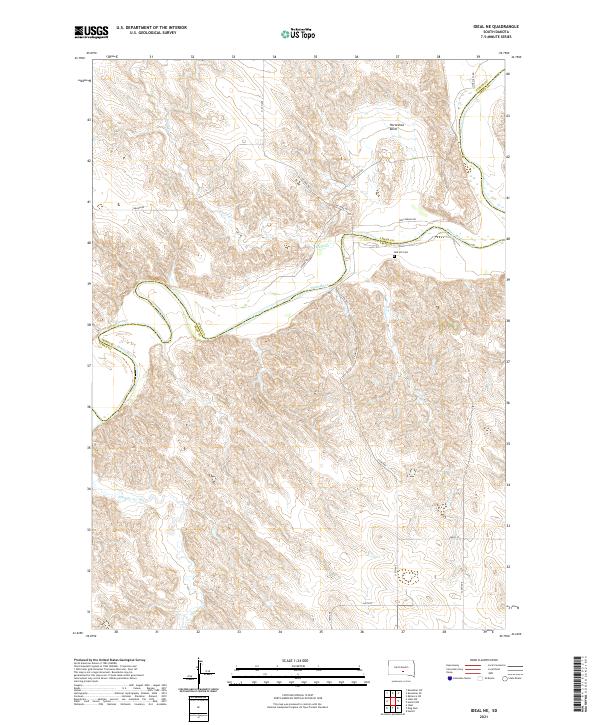 2021 Ideal NE2021 Print · USGSThe Lyman and Tripp county line follows the serpentine path of the White River in the early 2020s. Researchers can trace local lineage at Red Hill Cem or follow the old tracks of Wagon Rd through the terrain near Horseshoe Bend.
 - 2021 Map of Dallas NW, 2021 Print
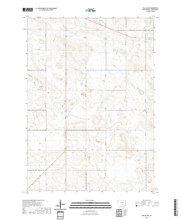 2021 Dallas NW2021 Print · USGSTripp County's rural plains are documented here in the early twenty-first century, showing the intersection of natural drainage and human planning. Modern researchers can trace the course of Ponca Cr or follow the grid of section-line roads like Hwy 31 and 290th St.
 - 2021 Map of Dallas SW, 2021 Print
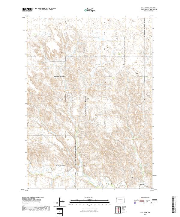 2021 Dallas SW2021 Print · USGSTripp County's rural terrain is documented here in the early twenty-first century, showcasing the drainage network of the Keya Paha River. Genealogists and researchers can locate the Gibson Cem and trace old township roads like Co Rd 6302.
Showing maps 1-25 of 43
Top cities of Tripp County
- Winner historical maps
- Colome historical maps
- Ideal Segment historical maps
- Ideal historical maps
- Carter historical maps
- Millboro historical maps
See more
Frequently asked questions
- What are the different types of historical maps available for Tripp County?
- What is the oldest map of Tripp County?
- Where can I purchase historical maps of Tripp County for my home or office?
- Where can I download high-res historical maps of Tripp County?
- Are there historical topographic maps available for Tripp County?
- Is there historical aerial imagery available for Tripp County?
- Where are historical maps of Tripp County sourced from?