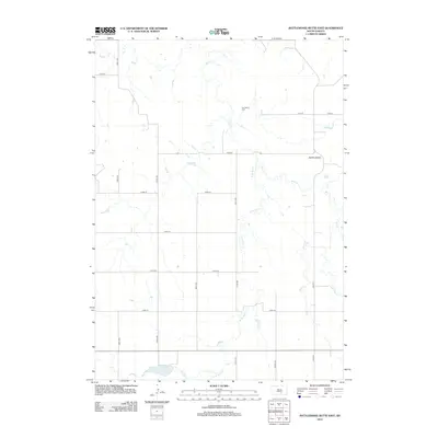
2012 Map of Rattlesnake Butte East
USGS Topo · Published 2012About this map
Our Savior Cem stands as a quiet landmark amidst the expansive ranching country of South Dakota, situated near the headwaters of the W Br Bull Cr. The landscape is defined by the winding drainage of Bull Cr and its various branches, which carve through the prairie terrain toward the eastern edge of the quadrangle. In the northeast, the Buffalo Buttes rise as a distinctive landform, providing a natural point of reference for this rural region. The map reveals a strictly gridded system of local roads, such as 272nd St and 331st Ave, that facilitate travel between these remote points. At the time of this 2012 survey, the area maintained its traditional agricultural character, with long-standing county routes like Co Hwy-1 and Co Hwy-3 serving as the primary connectors for local residents.
Find a feature on this map
21 named features on this map. Tap any name to fly to it.
Don’t see what you’re looking for? This feature index may not catch every label — zoom into the map to look around manually.
Map Details
Editions of this 2012 Rattlesnake Butte East Map
This is the sole edition of this map. No revisions or reprints were ever made.
Other maps of this area

1940 · Iona
USGS Topo · 1:62,500

1944 · Iona
USGS Topo · 1:62,500

1955 · Mitchell
USGS Topo · 1:250,000

1959 · Mitchell
USGS Topo · 1:250,000

1971 · Hamill SE
USGS Topo · 1:24,000

1971 · Colome
USGS Topo · 1:24,000

1971 · Dixon SW
USGS Topo · 1:24,000

1971 · Rattlesnake Butte East
USGS Topo · 1:24,000

1971 · Hamill
USGS Topo · 1:24,000

1971 · Rattlesnake Butte West
USGS Topo · 1:24,000