Old Maps of Selby, South Dakota for Genealogy
Trace your family roots with 14 historic maps of Selby. These high-res maps reveal old neighborhoods, homesites, landmarks, and streets — helping you uncover where your ancestors lived and how the area evolved over time.
- Explore historic neighborhoods: Identify where your relatives may have lived in the 1800s or 1900s.
- Compare maps over time: Trace the changes in streets, buildings, and landmarks for multi-generational research.
- Perfect for genealogy & ancestry research: Used by family historians and researchers to map out lineage and migration.
These maps are an incredible resource for exploring your personal connection to Selby's past.
Selby, SD maps
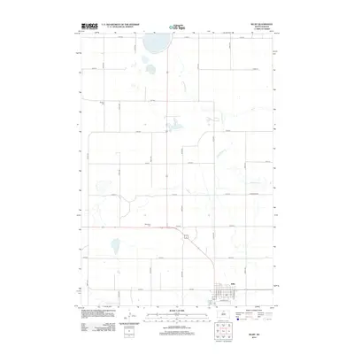
(14)- 1953 Map of McIntosh, 1965 Print
 1953 McIntosh1965 Print · USGSThe north-central Dakota prairie is captured here during the mid-fifties, showing the vast Standing Rock Indian Reservation and the newly formed Oah E Reservoir. Genealogists and historians can trace the Chicago Milwaukee St Paul and Pacific rail line through stops like McIntosh, Walker, and Eagle Butte.3 unique versions available
 - 1958 Map of McIntosh
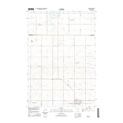
 1958 McIntosh1958 Print · USGSThe north-central Dakotas appear here in the mid-1950s as massive engineering projects and rail lines shaped the plains. Researchers can trace tribal lands within the Standing Rock Indian Reservation and locate local landmarks like the Keller Mine or the Virginia Siding.
 - 1967 Map of Selby, 1969 Print
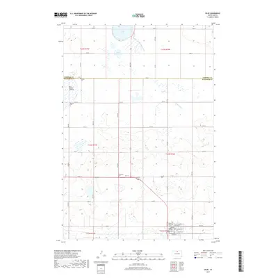
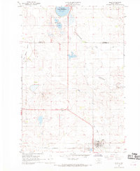 1967 Selby1969 Print · USGSWalworth and Campbell Counties show their agricultural and rail roots in the late sixties. Genealogists and local historians can trace the foundations of the community through sites like Bethany Cemetery, Monroe School, and the Selby rail corridor.
 - 1968 Map of Akaska NE, 1971 Print
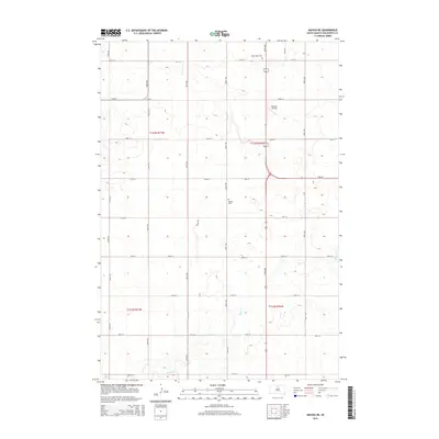
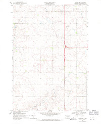 1968 Akaska NE1971 Print · USGSWalworth County settlement and rural infrastructure are captured here in the late sixties as the area around Selby continued to develop. Researchers can locate family sites and local landmarks like Selby Union Cem, Bangor Cem, and the Rabenberg Airport.
 - 1985 Map of Mobridge
 1985 Mobridge1985 Print · USGSCrossing the Missouri River in the mid-1980s, this landscape reveals the intersection of the Standing Rock Indian Reservation and the rising waters of Lake Oahe. Researchers can locate significant historical markers such as Sitting Bulls Grave, St Elizabeth Mission Home, and the Leavenworth Monument.2 unique versions available
 - 1985 Map of La Plant, 1986 Print
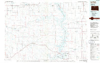 1985 La Plant1986 Print · USGSThe Cheyenne River and Standing Rock Indian Reservations meet here in the mid-eighties as Lake Oahe reshapes the Missouri River valley. Genealogists and local historians can trace the Old RR Gr and locate community landmarks like La Plant, Whitehorse, and Rabenberg Cemetery.2 unique versions available
 - 2012 Map of Akaska NE, 2012 Print
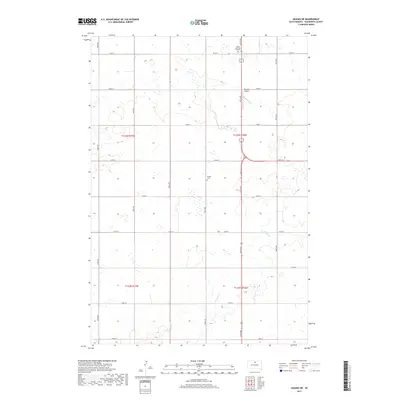
 2012 Akaska NE2012 Print · USGSCovers Selby, including Walworth County, United States, and other nearby areas
 - 2012 Map of Selby, 2012 Print
 2012 Selby2012 Print · USGSCovers Selby, including Campbell County, Walworth County, and other nearby areas
 - 2015 Map of Selby, 2015 Print
 2015 Selby2015 Print · USGSCovers Selby, including Campbell County, Walworth County, and other nearby areas
 - 2015 Map of Akaska NE, 2015 Print
 2015 Akaska NE2015 Print · USGSCovers Selby, including Walworth County, United States, and other nearby areas
 - 2017 Map of Selby, 2017 Print
 2017 Selby2017 Print · USGSCovers Selby, including Campbell County, Walworth County, and other nearby areas
 - 2017 Map of Akaska NE, 2017 Print
 2017 Akaska NE2017 Print · USGSCovers Selby, including Walworth County, United States, and other nearby areas
 - 2021 Map of Akaska NE, 2021 Print
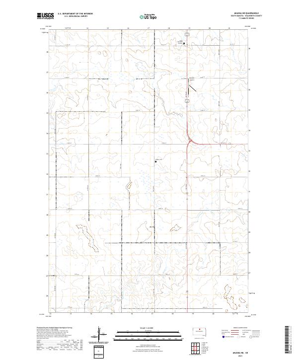 2021 Akaska NE2021 Print · USGSAgricultural Walworth County is shown here in the modern era, revealing a structured landscape of section roads and prairie drainages. Genealogists and local historians can locate Bangor Cem, Selby Memorial Gardens, and the small Beaman Airport.
 - 2021 Map of Selby, 2021 Print
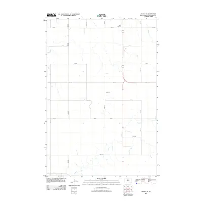
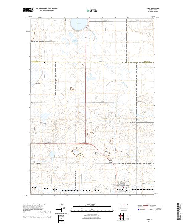 2021 Selby2021 Print · USGSWalworth County comes into focus in this recent survey, centered on the civic life of Selby and its surrounding prairie townships. Researchers can trace the layout of the county seat near the Walworth County Courthouse or locate family roots at Bethlehem Cem and Bethany Cem.
End of results
Showing maps 1-14 of 14
Top cities near Selby
Frequently asked questions
- What are the different types of historical maps available for Selby?
- What is the oldest map of Selby?
- Where can I purchase historical maps of Selby for my home or office?
- Where can I download high-res historical maps of Selby?
- Are there historical topographic maps available for Selby?
- Is there historical aerial imagery available for Selby?
- Where are historical maps of Selby sourced from?