Old Maps of Flat Creek, Tennessee for Metal Detecting
Plan your next treasure hunt with 11 historic maps of Flat Creek. Find old homesites, ghost towns, trails, and gathering spots that may be lost to time — perfect for identifying promising metal detecting locations.
- Locate forgotten sites: Uncover places like long-lost settlements, abandoned rail lines, or gathering spots.
- Plan better hunts: Use map overlays combined with LiDAR or satellite views to narrow in on historically rich areas.
- Made for detectorists: Thousands of hobbyists use these maps to discover relics, coins, and hidden history.
Use these historic maps to boost your research and find new opportunities beneath the surface of Flat Creek.
Flat Creek, TN maps
(11)- 1936 Map of Shelbyville
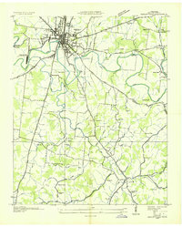 1936 Shelbyville1936 Print · USGSBedford County during the mid-1930s shows a landscape of river-based industry and tightly knit rural settlements along the Duck River. Genealogists and local historians can trace early community life at Shelbyville Mills, Mullins Chapel, and Holly Grove Sch.
 - 1944 Map of Shelbyville
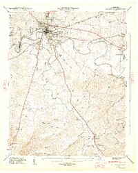
 1944 Shelbyville1944 Print · USGSMid-century Middle Tennessee is captured here during the wartime mobilization of the 1940s. Genealogists and researchers can trace family lands near Bugscuffle, Shelbyville Mills, and the expansive Camp Forrest Military Res.
 - 1947 Map of Shelbyville, 1948 Print
 1947 Shelbyville1948 Print · USGSMid-century Bedford County reveals a landscape shaped by the winding Duck River and the industrial activity of Shelbyville Mills. Genealogists and local historians can trace rural roots through Mullins Chapel, Flat Creek Sch, and family burial sites like Rosebank Cem.2 unique versions available
 - 1956 Map of Columbia, 1960 Print
 1956 Columbia1960 Print · USGSMiddle Tennessee in the mid-fifties presents a landscape of established river towns and critical rail hubs before the arrival of the modern interstate system. Researchers can trace the routes of the Louisville and Nashville railroad or locate historic landmarks like Stones River National Military Park and the Tennessee National Wildlife Refuge.6 unique versions available
 - 1966 Map of Shelbyville, 1969 Print
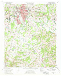 1966 Shelbyville1969 Print · USGSMid-century Shelbyville and its rural surroundings are captured here just as the town expanded into a modern regional center. Researchers can locate family roots at Hillcrest Memorial Gardens or trace the early paths of Shelbyville Mills and the Louisville and Nashville Railroad.2 unique versions available
 - 1981 Map of Tullahoma, 1982 Print
 1981 Tullahoma1982 Print · USGSSouthern Tennessee enters the 1980s with a mix of aerospace technology and deep rural roots. Researchers can trace the L & N RR through Shelbyville and Fayetteville or locate family sites like Old Salem Cem and Blanton Chapel near the Cumberland Plateau.
 - 2010 Map of Shelbyville, 2010 Print
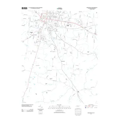
 2010 Shelbyville2010 Print · USGSCovers Flat Creek, including Shelbyville, Himesville, and other nearby areas
 - 2013 Map of Shelbyville, 2013 Print
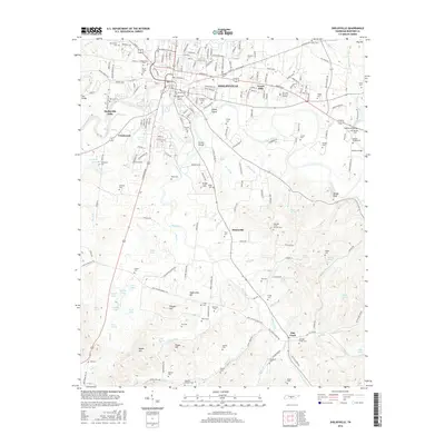
 2013 Shelbyville2013 Print · USGSCovers Flat Creek, including Shelbyville, Himesville, and other nearby areas
 - 2016 Map of Shelbyville, 2016 Print
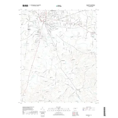
 2016 Shelbyville2016 Print · USGSCovers Flat Creek, including Shelbyville, Himesville, and other nearby areas
 - 2019 Map of Shelbyville, 2019 Print
 2019 Shelbyville2019 Print · USGSCovers Flat Creek, including Shelbyville, Himesville, and other nearby areas
 - 2022 Map of Shelbyville, 2022 Print
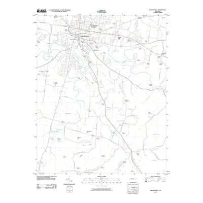
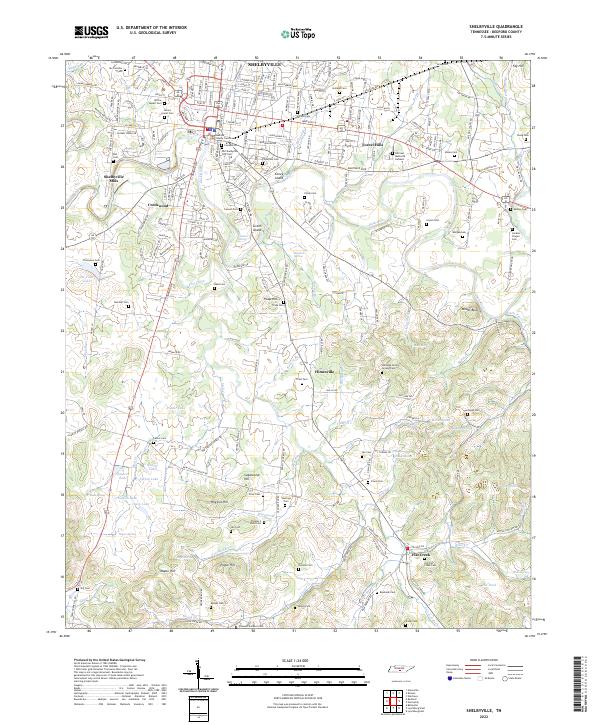 2022 Shelbyville2022 Print · USGSIn the heart of Middle Tennessee, this modern survey documents the Shelbyville area as it spans from the Duck River to the southern reaches of Flat Creek. Genealogists can trace decades of history across dozens of family burial grounds, from Willow Mount Cem to the Old Flat Creek Cem.
End of results
Showing maps 1-11 of 11
Top cities near Flat Creek
- Shelbyville historical maps
- Tullahoma historical maps
- Fayetteville historical maps
- Estill Springs historical maps
- Petersburg historical maps
- Wartrace historical maps
See more
Frequently asked questions
- What are the different types of historical maps available for Flat Creek?
- What is the oldest map of Flat Creek?
- Where can I purchase historical maps of Flat Creek for my home or office?
- Where can I download high-res historical maps of Flat Creek?
- Are there historical topographic maps available for Flat Creek?
- Is there historical aerial imagery available for Flat Creek?
- Where are historical maps of Flat Creek sourced from?