Old Maps of Camden, Tennessee for Academic Research
Study the evolution of Camden with 43 high-resolution historic maps. Whether you're teaching, researching, or modeling changes in land use, these maps provide essential visual documentation of urban, environmental, and geographic change.
- Analyze long-term change: Track patterns in development, transportation, and natural features.
- Ideal for environmental or urban studies: Support academic projects with primary historical map data.
- Use in the classroom or lab: Educators and researchers rely on these maps to bring historical context to life.
These maps are a powerful tool for teaching, research, and visualizing how Camden has changed over the decades.
Camden, TN maps
(43)- 1936 Map of Camden
 1936 Camden1936 Print · USGSBenton County centers on the town of Camden during the mid-1930s, as the local economy transitioned through New Deal infrastructure projects. Genealogists can trace family roots through numerous rural landmarks like Missionary Grove Ch, Toll Chapel Sch, and the Bethlehem Cem near the river.
 - 1936 Map of Johnsonville
 1936 Johnsonville1936 Print · USGSThe Tennessee River corridor in Humphreys County comes alive in the mid-1930s, showing the intersection of rail and river commerce. Genealogists and local historians can trace family sites like Crockett Cem or visit vanished points like Reynoldsburg Landing and Eva Station.
 - 1936 Map of Bruceton
 1936 Bruceton1936 Print · USGSBruceton was a bustling rail junction in the 1930s where the Tennessee Central met the St. Louis line. Genealogists can locate family landmarks like Sawyers Mill Zach PO, Cedar Grove Ch, and schools like Garfield Sch.
 - 1936 Map of Harmon Creek
 1936 Harmon Creek1936 Print · USGSBenton and Humphreys counties are captured here in the mid-1930s, documenting the riverfront landings and valley farms along the Tennessee River. Genealogists can locate family-named landmarks like the Phifer Place, Carter Cem, and the Harmon Creek Sch.
 - 1936 Map of Rockport
 1936 Rockport1936 Print · USGSBenton County river life is captured here in the mid-1930s, showing a landscape defined by ferry crossings and upland farmsteads. Researchers can trace family sites at Trotters Ferry, Hardin Store, and schools like Tie Hill Sch.
 - 1949 Map of Harmon Creek, 1953 Print
 1949 Harmon Creek1953 Print · USGSThe Tennessee River valley at the junction of Benton and Humphreys counties is shown here shortly after the reservoir's formation. Researchers can locate numerous family burial sites and rural centers like Harmon Creek Church, St John School, and Melton Cem.3 unique versions available
 - 1950 Map of Johnsonville, 1952 Print
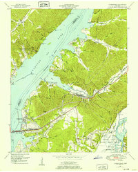 1950 Johnsonville1952 Print · USGSMid-century Tennessee geography is defined here by the creation of Kentucky Lake and the resulting relocation of river communities. Genealogists and historians can trace the transition from Old Johnsonville to New Johnsonville, alongside landmarks like Fairview Sch and Denver.4 unique versions available
 - 1950 Map of Rockport, 1953 Print
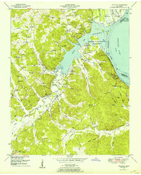 1950 Rockport1953 Print · USGSBenton and Humphreys counties are shown during the early years of the Kentucky Lake reservoir, where new shorelines met established rural communities. Researchers can locate family burial grounds like Hardin Cem or trace landmarks like Rockport Landing and Camp Mack Morris.4 unique versions available
 - 1950 Map of Camden, 1953 Print
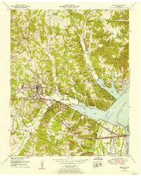 1950 Camden1953 Print · USGSMid-century Benton County shows the impact of the Tennessee Valley Authority's reservoir projects alongside the established hub of Camden. Genealogists can trace family names and rural life through landmarks like Toll Chapel School, Morris Chapel, and the Blanchard Cem.6 unique versions available
 - 1950 Map of Bruceton, 1953 Print
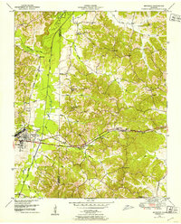 1950 Bruceton1953 Print · USGSBruceton and the surrounding Tennessee lowlands appear here in the early 1950s, showing a landscape defined by the Nashville Chattanooga and St Louis railway. Local historians can trace old landmarks like Sawyers Mill, Sandy Point Sch, and the historical path of the Natchez Trace.3 unique versions available
 - 1956 Map of Dyersburg, 1960 Print
 1956 Dyersburg1960 Print · USGSThe Four Rivers region comes alive in the mid-fifties, capturing the intricate borderlands of Tennessee, Kentucky, and Missouri. Genealogists and historians can trace the rail-and-river networks connecting Dyersburg, Caruthersville, and the shoreline of Reelfoot Lake.4 unique versions available
 - 1956 Map of Blytheville, 1964 Print
 1956 Blytheville1964 Print · USGSWest Tennessee and the Arkansas Delta come alive in this mid-century survey of the river-and-rail corridor connecting Memphis to Jackson. Genealogists and historians can trace the rail lines of the Louisville and Nashville RR and locate landmarks like Western State Hospital or Fort Pillow State Prison Farm.2 unique versions available
 - 1956 Map of Nashville, 1971 Print
 1956 Nashville1971 Print · USGSThe Tennessee-Kentucky borderlands come into focus in the mid-1960s as major reservoir projects transformed the Cumberland and Tennessee river valleys. Researchers can trace the rail networks of the Louisville and Nashville and visit sites like Fort Campbell and Fort Donelson National Military Park.2 unique versions available
 - 1959 Map of Nashville
 1959 Nashville1959 Print · USGSMiddle Tennessee and Southern Kentucky come into focus during the late fifties, showing the region's transition into a modern transportation and military hub. Researchers can trace the sprawling Fort Campbell Military Reservation or locate historic rail stops along the Tennessee Central Ry and Illinois Central RR.
 - 1959 Map of Blytheville
 1959 Blytheville1959 Print · USGSWest Tennessee and Northeast Arkansas meet along the river in the late fifties, during a period of steady industrial and agricultural growth. Genealogists can trace the rail corridors of the Illinois Central through Jackson or explore landmarks like Shiloh National Military Park and Fort Pillow State Prison.
 - 1985 Map of Dickson
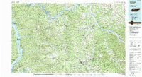 1985 Dickson1985 Print · USGSMid-Tennessee in the mid-1980s was defined by the intersection of the Cumberland and Tennessee rivers and a massive network of wildlife refuges. Researchers can trace the Seaboard System rail lines connecting Waverly, Dickson, and White Bluff, or locate old landmarks near Fort Donelson National Military Park.
 - 1986 Map of McKenzie
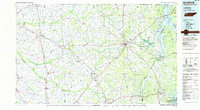 1986 McKenzie1986 Print · USGSWest Tennessee in the mid-eighties was a landscape defined by its deep river forks and the massive waters of Kentucky Lake. Researchers can trace the rail lines of the Louisville & Nashville RR and find local landmarks from Skullbone to the Paris Landing State Park.3 unique versions available
 - 1986 Map of Milan
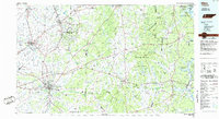 1986 Milan1986 Print · USGSWest Tennessee in the mid-eighties shows a landscape defined by industrial military sites and expansive state forests. Trace the rail lines of the Seaboard System RR, locate the Milan Arsenal, or explore the protected lands of Natchez Trace State Forest.2 unique versions available
 - 2010 Map of Rockport, 2010 Print
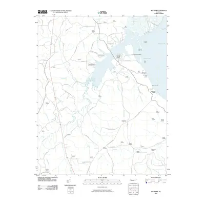 2010 Rockport2010 Print · USGSBenton County's river-front landscape is shown here at the turn of the millennium, centered on the inlets of Kentucky Lake. Researchers can trace old family burial grounds like Caney Fork Cemetery and discover landmarks such as the Russell Field Lookout Tower or Trotters Landing.
 - 2010 Map of Harmon Creek, 2010 Print
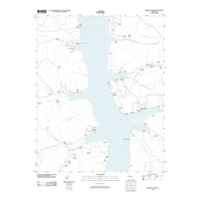 2010 Harmon Creek2010 Print · USGSBenton County river life at the start of the 21st century centers on the expansive Kentucky Lake shoreline and its many sheltered coves. Researchers can locate numerous family burial grounds and landings, from Union Chapel Cemetery and Keel Cemetery to Clydeton Landing.
 - 2010 Map of Bruceton, 2010 Print
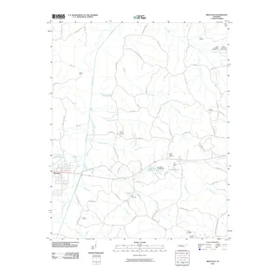 2010 Bruceton2010 Print · USGSBenton County at the start of the 21st century remains a landscape of river-fed valleys and quiet rural crossroads. Genealogists can trace family heritage through numerous burial grounds like Parks Cemetery and landmark settlements such as Priests Spur.
 - 2010 Map of Johnsonville, 2010 Print
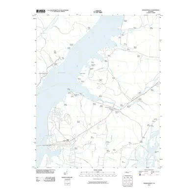 2010 Johnsonville2010 Print · USGSThe Tennessee River valley at Kentucky Lake is seen here in the early twenty-first century, anchored by the settlement of New Johnsonville. Genealogists and local historians can locate numerous family burial sites, including Crockett Cemetery and Napier Cemetery, alongside landmarks like the Denver Post Office.
 - 2010 Map of Camden, 2010 Print
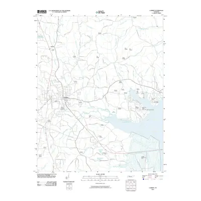 2010 Camden2010 Print · USGSBenton County centers on the town of Camden during the early twenty-first century, just west of the Kentucky Lake shoreline. Genealogists can trace family roots through dozens of local burial sites, including Old Bethlehem Cemetery and Liberty Cemetery.
 - 2013 Map of Harmon Creek, 2013 Print
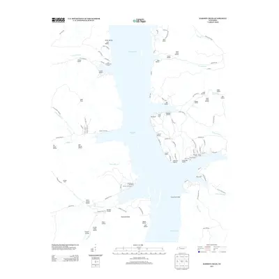 2013 Harmon Creek2013 Print · USGSKentucky Lake and its surrounding hollows are shown in detail during the early twenty-first century. Genealogists and local historians can trace the shoreline's development through sites like Clydeton Landing, Harmon Creek Resort, and Bald Knob.
 - 2013 Map of Johnsonville, 2013 Print
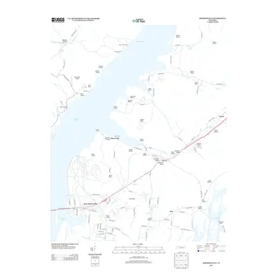 2013 Johnsonville2013 Print · USGSBenton and Humphreys County river life is captured here as the modern era meets traditional Tennessee bottomlands. Genealogists can trace family connections through numerous named landmarks like Spain Hollow, Seven Points, and the riverside Lucas Landing.
Showing maps 1-25 of 43
Top cities near Camden
- Waverly historical maps
- New Johnsonville historical maps
- Bruceton historical maps
- Big Sandy historical maps
Top neighborhoods of Camden
Frequently asked questions
- What are the different types of historical maps available for Camden?
- What is the oldest map of Camden?
- Where can I purchase historical maps of Camden for my home or office?
- Where can I download high-res historical maps of Camden?
- Are there historical topographic maps available for Camden?
- Is there historical aerial imagery available for Camden?
- Where are historical maps of Camden sourced from?