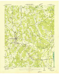
1936 Map of Camden
USGS Topo · Published 1936About this map
Camden serves as the focal point of this 1936 survey, showing the town's layout just before the regional landscape was significantly altered by mid-century water projects. The Nashville Chattanooga and St Louis railroad bisects the terrain, connecting the town to the Tennessee River at Eva. Along the riverbanks, features like Sales Landing and various sloughs, including Big Slough and Burrell Slough, indicate a landscape defined by seasonal water patterns and river commerce.
Find a feature on this map
59 named features on this map. Tap any name to fly to it.
Don’t see what you’re looking for? This feature index may not catch every label — zoom into the map to look around manually.
Map Details
Editions of this 1936 Camden Map
This is the sole edition of this map. No revisions or reprints were ever made.
Other maps of this area
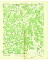
1936 · Seventeen Creek
USGS Topo · 1:24,000
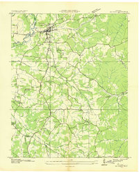
1936 · Big Sandy
USGS Topo · 1:24,000
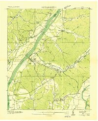
1936 · Johnsonville
USGS Topo · 1:24,000
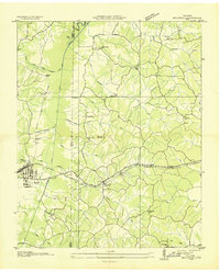
1936 · Bruceton
USGS Topo · 1:24,000
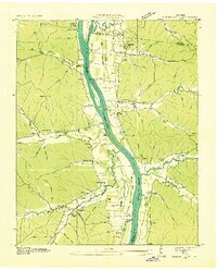
1936 · Harmon Creek
USGS Topo · 1:24,000
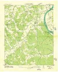
1936 · Rockport
USGS Topo · 1:24,000
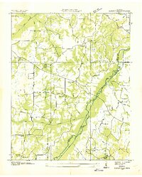
1936 · Manleyville
USGS Topo · 1:24,000
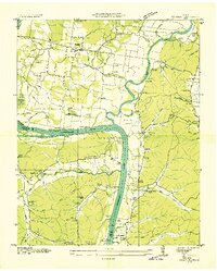
1936 · Hustburg
USGS Topo · 1:24,000
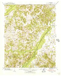
1940 · Manleyville
USGS Topo · 1:24,000
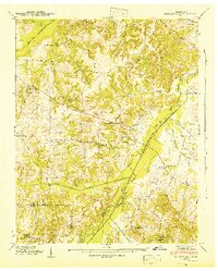
1941 · Manleyville
USGS Topo · 1:24,000