Old Maps of Mount Moriah, Tennessee for Metal Detecting
Plan your next treasure hunt with 10 historic maps of Mount Moriah. Find old homesites, ghost towns, trails, and gathering spots that may be lost to time — perfect for identifying promising metal detecting locations.
- Locate forgotten sites: Uncover places like long-lost settlements, abandoned rail lines, or gathering spots.
- Plan better hunts: Use map overlays combined with LiDAR or satellite views to narrow in on historically rich areas.
- Made for detectorists: Thousands of hobbyists use these maps to discover relics, coins, and hidden history.
Use these historic maps to boost your research and find new opportunities beneath the surface of Mount Moriah.
Mount Moriah, TN maps
(10)- 1936 Map of Rockport
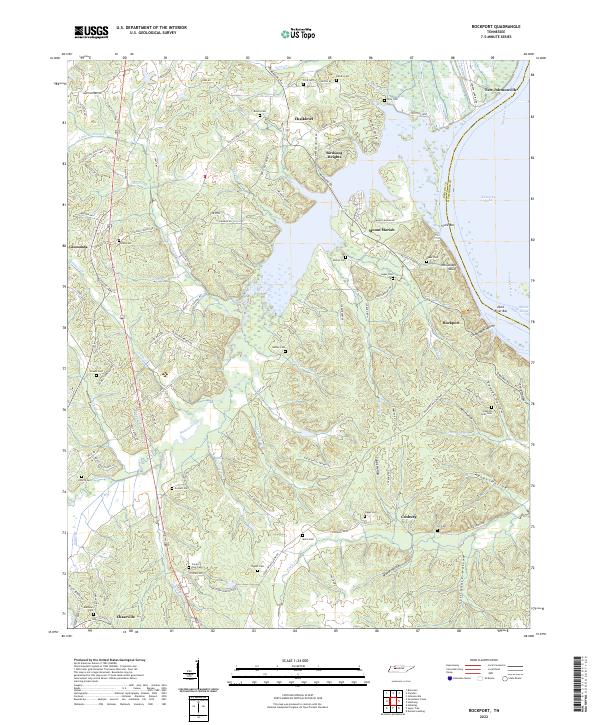
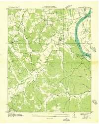 1936 Rockport1936 Print · USGSBenton County river life is captured here in the mid-1930s, showing a landscape defined by ferry crossings and upland farmsteads. Researchers can trace family sites at Trotters Ferry, Hardin Store, and schools like Tie Hill Sch.
 - 1950 Map of Rockport, 1953 Print
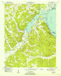 1950 Rockport1953 Print · USGSBenton and Humphreys counties are shown during the early years of the Kentucky Lake reservoir, where new shorelines met established rural communities. Researchers can locate family burial grounds like Hardin Cem or trace landmarks like Rockport Landing and Camp Mack Morris.4 unique versions available
 - 1956 Map of Blytheville, 1964 Print
 1956 Blytheville1964 Print · USGSWest Tennessee and the Arkansas Delta come alive in this mid-century survey of the river-and-rail corridor connecting Memphis to Jackson. Genealogists and historians can trace the rail lines of the Louisville and Nashville RR and locate landmarks like Western State Hospital or Fort Pillow State Prison Farm.2 unique versions available
 - 1959 Map of Blytheville
 1959 Blytheville1959 Print · USGSWest Tennessee and Northeast Arkansas meet along the river in the late fifties, during a period of steady industrial and agricultural growth. Genealogists can trace the rail corridors of the Illinois Central through Jackson or explore landmarks like Shiloh National Military Park and Fort Pillow State Prison.
 - 1986 Map of Milan
 1986 Milan1986 Print · USGSWest Tennessee in the mid-eighties shows a landscape defined by industrial military sites and expansive state forests. Trace the rail lines of the Seaboard System RR, locate the Milan Arsenal, or explore the protected lands of Natchez Trace State Forest.2 unique versions available
 - 2010 Map of Rockport, 2010 Print
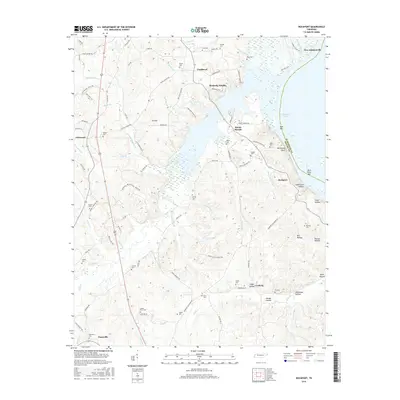
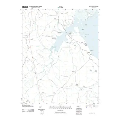 2010 Rockport2010 Print · USGSCovers Mount Moriah, including Camden, New Johnsonville, and other nearby areas
 - 2013 Map of Rockport, 2013 Print
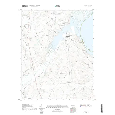
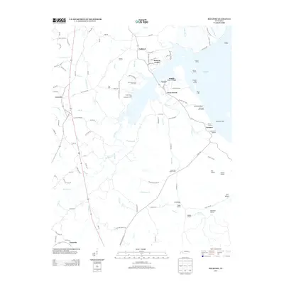 2013 Rockport2013 Print · USGSCovers Mount Moriah, including Camden, New Johnsonville, and other nearby areas
 - 2016 Map of Rockport, 2016 Print
 2016 Rockport2016 Print · USGSCovers Mount Moriah, including Camden, New Johnsonville, and other nearby areas
 - 2019 Map of Rockport, 2019 Print
 2019 Rockport2019 Print · USGSCovers Mount Moriah, including Camden, New Johnsonville, and other nearby areas
 - 2022 Map of Rockport, 2022 Print
 2022 Rockport2022 Print · USGSThe western shores of the Tennessee River are shown here in the early 2020s, defined by the waters of Kentucky Lake. Genealogists can trace family burial sites like Peebles Sims Cem or explore small rural centers like Rockport and Chalklevel.
End of results
Showing maps 1-10 of 10
Top cities near Mount Moriah
- Waverly historical maps
- Camden historical maps
- New Johnsonville historical maps
- Bruceton historical maps
- Hollow Rock historical maps
- Lobelville historical maps
Frequently asked questions
- What are the different types of historical maps available for Mount Moriah?
- What is the oldest map of Mount Moriah?
- Where can I purchase historical maps of Mount Moriah for my home or office?
- Where can I download high-res historical maps of Mount Moriah?
- Are there historical topographic maps available for Mount Moriah?
- Is there historical aerial imagery available for Mount Moriah?
- Where are historical maps of Mount Moriah sourced from?