2020s Maps of Blount County, Tennessee
Explore 19 historic maps of Blount County from the 2020s. These maps offer a rare glimpse into what life looked like during the 2020s — showing old roads, neighborhoods, homes, and landmarks that have changed or disappeared over time.
Whether you're researching your family's past, planning a metal detecting trip, or studying how Blount County's landscape evolved across the 2020s, these high-resolution maps are a powerful tool for exploring the history of this region.
- Focus on a specific era: All maps on this page are from the 2020s, giving you a focused view of this time period.
- See what’s changed: Compare century-old streets, trails, and buildings to today's modern landscape using overlays and satellite layers.
- Research with precision: Use these maps for genealogy, historical research, land use analysis, or educational projects.
- View, download, or print: Maps are fully viewable online in high resolution, and can be downloaded or printed for your own records.
Start exploring Blount County's history through authentic maps from the 2020s. This is your window into the past.
Blount County, TN maps
(19)- 2022 Map of Wildwood, 2022 Print
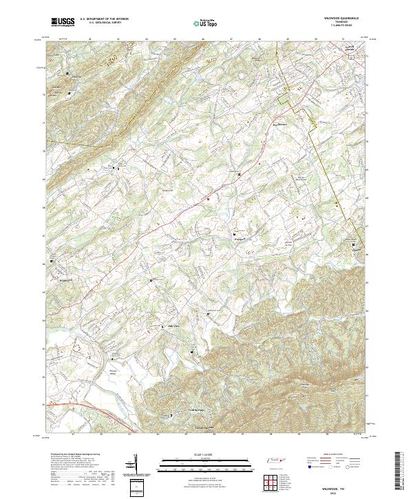 2022 Wildwood2022 Print · USGSCovers Blount County, including Fairfield, Ellejoy, and other nearby areas
 - 2022 Map of Maryville, 2022 Print
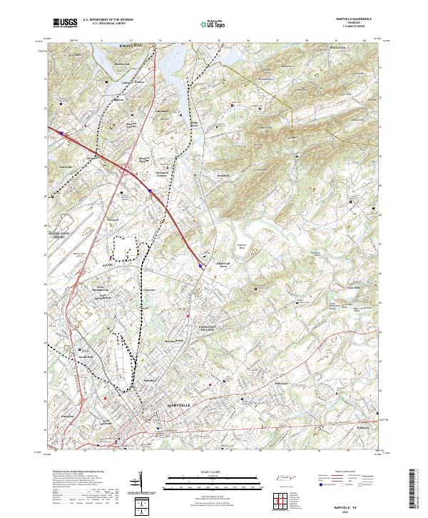 2022 Maryville2022 Print · USGSCovers Blount County, including Knoxville, Maryville, and other nearby areas
 - 2022 Map of Walden Creek, 2022 Print
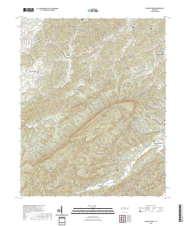 2022 Walden Creek2022 Print · USGSCovers Blount County, including Pigeon Forge, Hornet, and other nearby areas
 - 2022 Map of Shooks Gap, 2022 Print
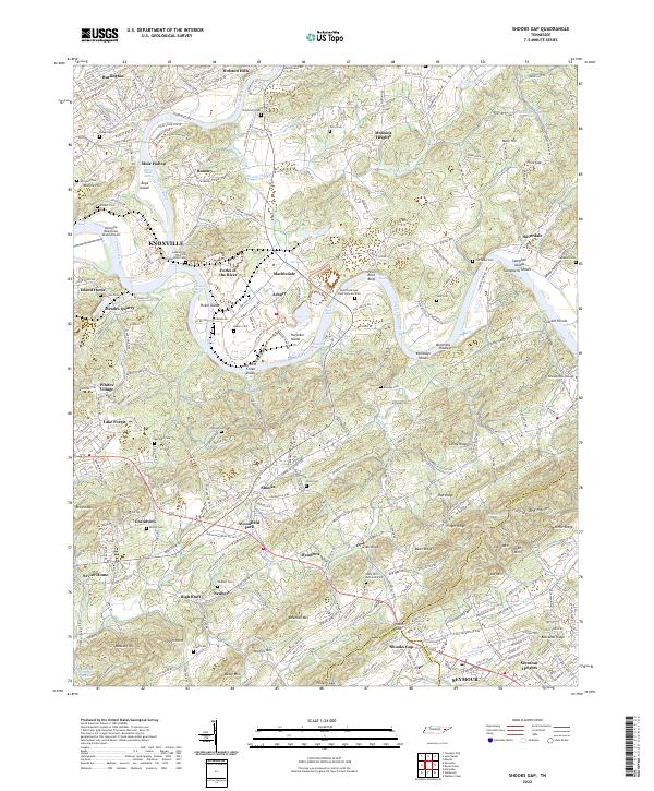 2022 Shooks Gap2022 Print · USGSCovers Blount County, including Knoxville, Shooks Gap, and other nearby areas
 - 2022 Map of Meadow, 2022 Print
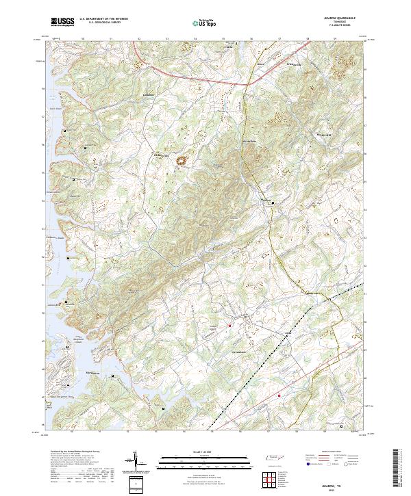 2022 Meadow2022 Print · USGSCovers Blount County, including Tellico Village, Greenback, and other nearby areas
 - 2022 Map of Binfield, 2022 Print
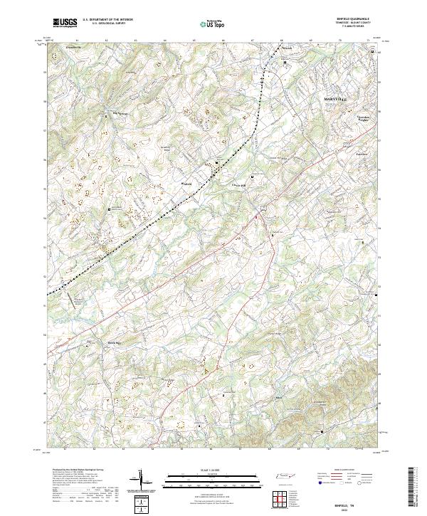 2022 Binfield2022 Print · USGSCovers Blount County, including Maryville, Friendsville, and other nearby areas
 - 2022 Map of Tapoco, 2022 Print
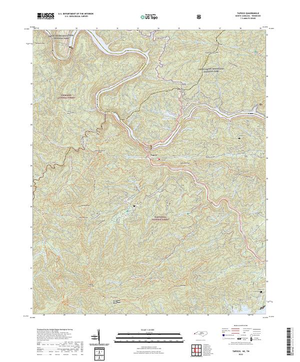 2022 Tapoco2022 Print · USGSCovers Blount County, including Twenty Mile, Tapoco, and other nearby areas
 - 2022 Map of Thunderhead Mountain, 2022 Print
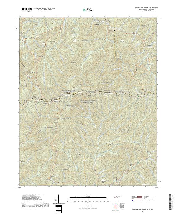 2022 Thunderhead Mountain2022 Print · USGSCovers Blount County, including Sevier County, Swain County, and other nearby areas
 - 2022 Map of Bearden, 2022 Print
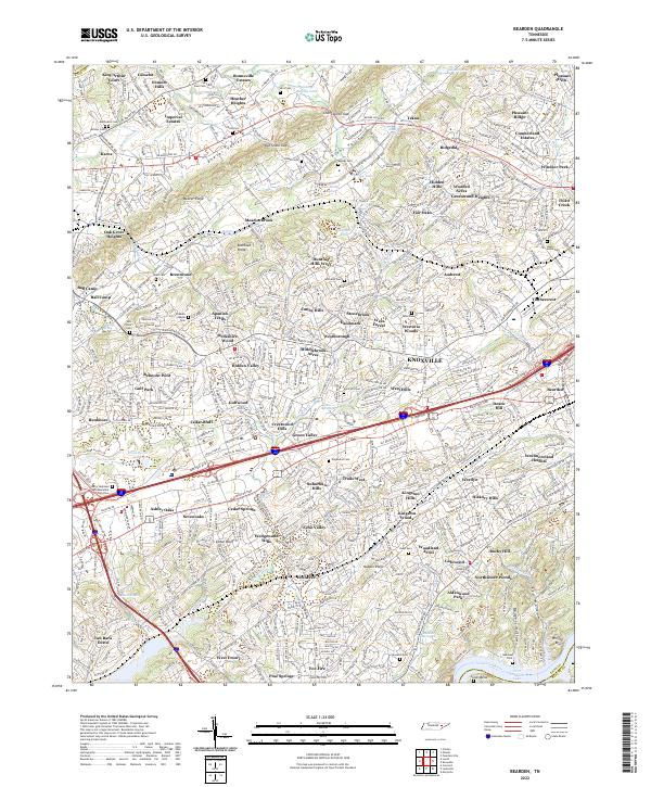 2022 Bearden2022 Print · USGSCovers Blount County, including Knoxville, Alcoa, and other nearby areas
 - 2022 Map of Concord, 2022 Print
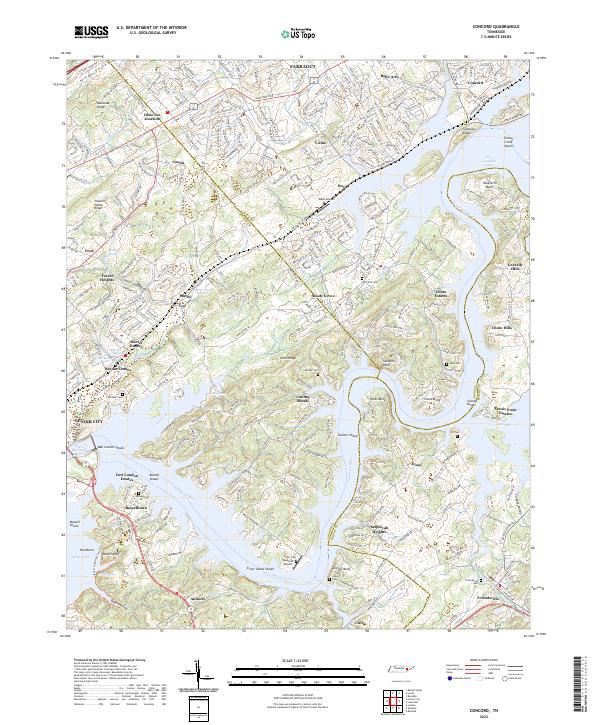 2022 Concord2022 Print · USGSCovers Blount County, including Farragut, Lenoir City, and other nearby areas
 - 2022 Map of Louisville, 2022 Print
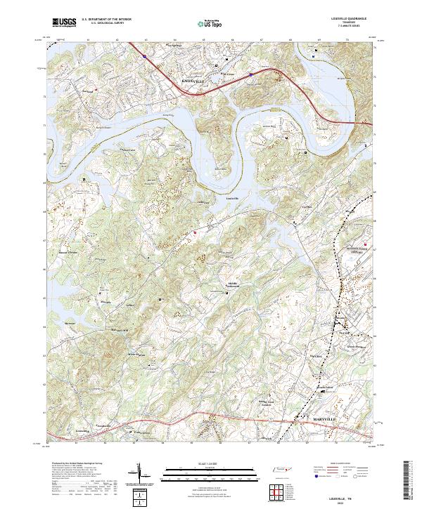 2022 Louisville2022 Print · USGSCovers Blount County, including Knoxville, Maryville, and other nearby areas
 - 2022 Map of Vonore, 2022 Print
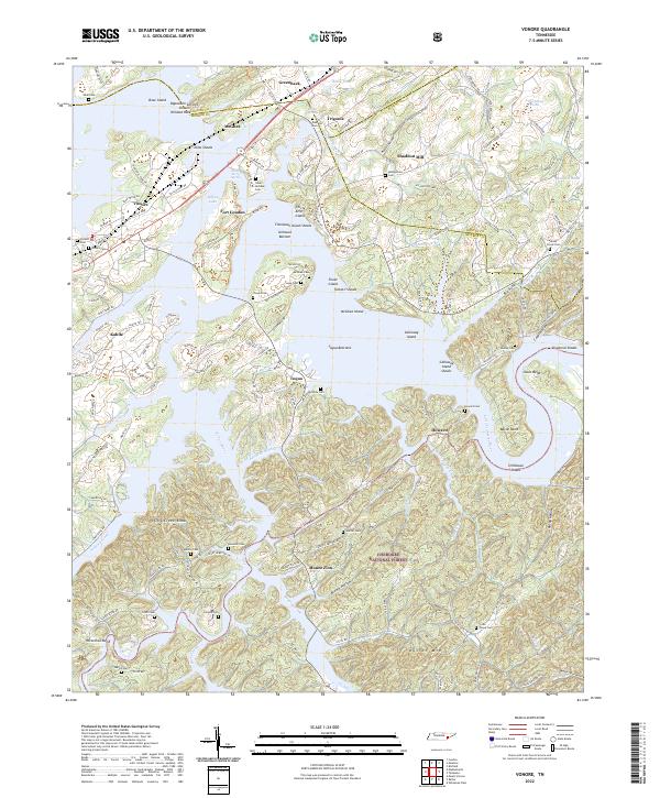 2022 Vonore2022 Print · USGSCovers Blount County, including Greenback, Mount Zion, and other nearby areas
 - 2022 Map of Tallassee, 2022 Print
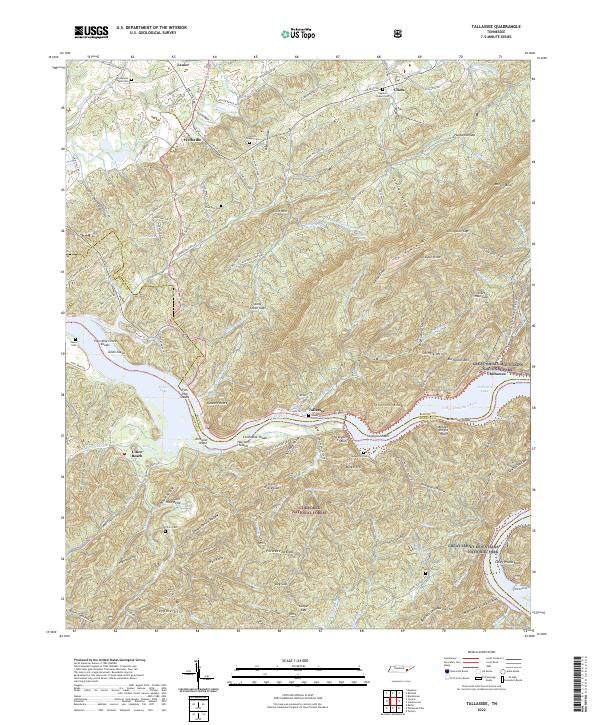 2022 Tallassee2022 Print · USGSCovers Blount County, including Citico Beach, Chilhowee, and other nearby areas
 - 2022 Map of Kinzel Springs, 2022 Print
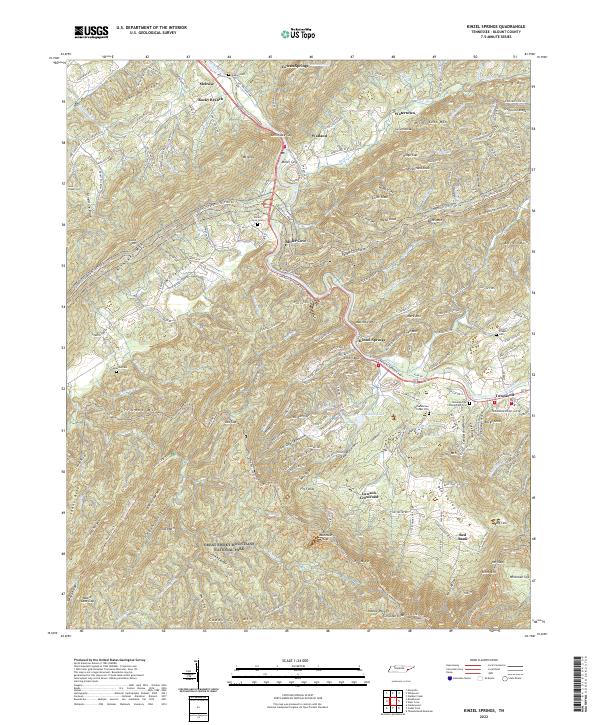 2022 Kinzel Springs2022 Print · USGSCovers Blount County, including Townsend, Seaton, and other nearby areas
 - 2022 Map of Wear Cove, 2022 Print
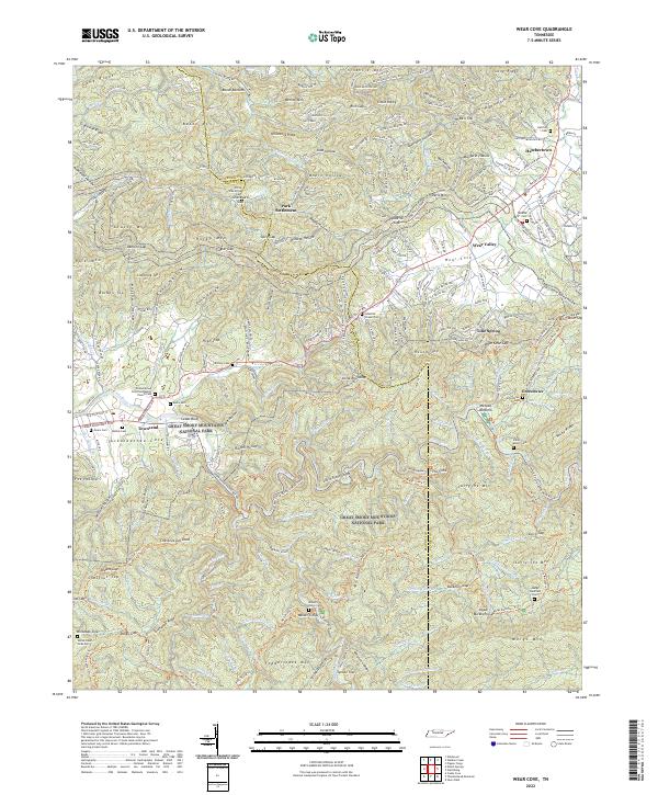 2022 Wear Cove2022 Print · USGSCovers Blount County, including Townsend, Park Settlement, and other nearby areas
 - 2022 Map of Calderwood, 2022 Print
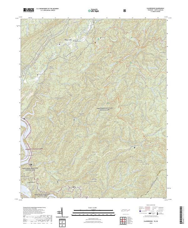 2022 Calderwood2022 Print · USGSCovers Blount County, including Calderwood, Abrams, and other nearby areas
 - 2022 Map of Cades Cove, 2022 Print
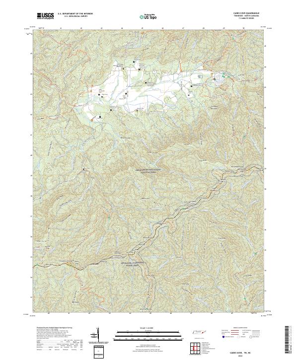 2022 Cades Cove2022 Print · USGSCovers Blount County, including Cades Cove, Swain County, and other nearby areas
 - 2022 Map of Knoxville, 2022 Print
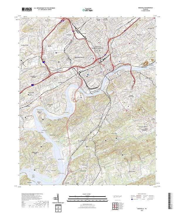 2022 Knoxville2022 Print · USGSCovers Blount County, including Knoxville, Alcoa, and other nearby areas
 - 2022 Map of Blockhouse, 2022 Print
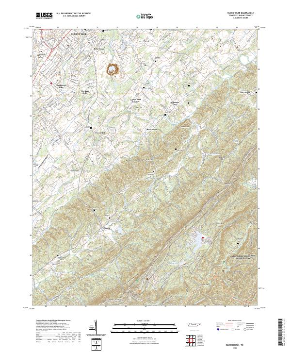 2022 Blockhouse2022 Print · USGSCovers Blount County, including Maryville, Westwood Hills, and other nearby areas
End of results
Showing maps 1-19 of 19
Top cities of Blount County
- Maryville historical maps
- Alcoa historical maps
- Louisville historical maps
- Friendsville historical maps
- Rockford historical maps
- Townsend historical maps
Frequently asked questions
- What are the different types of historical maps available for Blount County?
- What is the oldest map of Blount County?
- Where can I purchase historical maps of Blount County for my home or office?
- Where can I download high-res historical maps of Blount County?
- Are there historical topographic maps available for Blount County?
- Is there historical aerial imagery available for Blount County?
- Where are historical maps of Blount County sourced from?