2010s Maps of Blount County, Tennessee
Explore 76 historic maps of Blount County from the 2010s. These maps offer a rare glimpse into what life looked like during the 2010s — showing old roads, neighborhoods, homes, and landmarks that have changed or disappeared over time.
Whether you're researching your family's past, planning a metal detecting trip, or studying how Blount County's landscape evolved across the 2010s, these high-resolution maps are a powerful tool for exploring the history of this region.
- Focus on a specific era: All maps on this page are from the 2010s, giving you a focused view of this time period.
- See what’s changed: Compare century-old streets, trails, and buildings to today's modern landscape using overlays and satellite layers.
- Research with precision: Use these maps for genealogy, historical research, land use analysis, or educational projects.
- View, download, or print: Maps are fully viewable online in high resolution, and can be downloaded or printed for your own records.
Start exploring Blount County's history through authentic maps from the 2010s. This is your window into the past.
Blount County, TN maps
(76)- 2010 Map of Wear Cove, 2010 Print
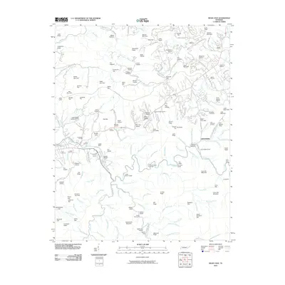 2010 Wear Cove2010 Print · USGSThe Tennessee mountains near Townsend come alive in this 2010 survey of the Greenbrier area. Genealogists and hikers can trace family-named sites and landmarks like Headrick Chapel Cemetery, Camp Townsend, and Stillhouse Hollow.
 - 2010 Map of Walden Creek, 2010 Print
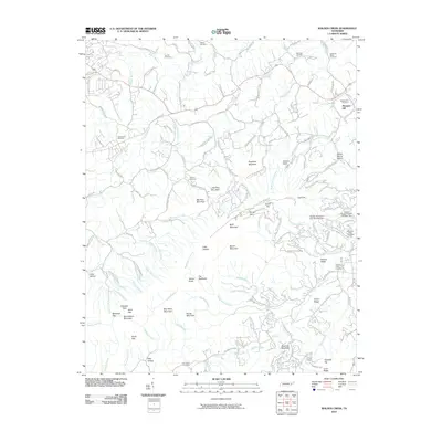 2010 Walden Creek2010 Print · USGSThe foothills near Pigeon Forge are captured here in the early twenty-first century, showcasing a landscape of winding creek hollows and ridges. Researchers can locate numerous historic burial sites like Zion Hill Cemetery and Waldens Creek Cemetery or trace landmarks such as House Mountain.
 - 2010 Map of Kinzel Springs, 2010 Print
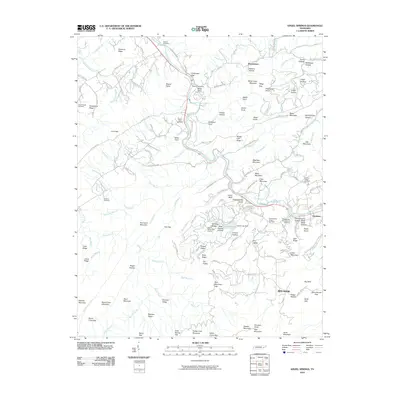 2010 Kinzel Springs2010 Print · USGSTownsend and the surrounding coves are shown in detail during the early 21st century, where the Little River meets the Smokies' foothills. Researchers can locate numerous family burial grounds like Millers Cove Cemetery and historic industry sites such as the Mill Dam Slate Quarry.
 - 2010 Map of Shooks Gap, 2010 Print
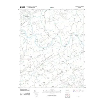 2010 Shooks Gap2010 Print · USGSSoutheast of Knoxville in the early 2000s, the convergence of the French Broad and Holston rivers defines a landscape of heavy industry and quiet community roots. Trace the locations of historic burial grounds like McNutt Cemetery or follow the industrial footprint of the Gray Knox Quarry and Tadpole Quarry.
 - 2010 Map of Maryville, 2010 Print
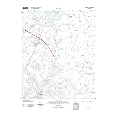 2010 Maryville2010 Print · USGSMaryville and Alcoa are shown during a period of modern expansion near the Smoky Mountain foothills. Researchers can locate numerous historical burial sites like the Slave Cemetery and Mount Zion Cemetery or trace the river path past Brakebill Island and Singleton Bend.
 - 2010 Map of Blockhouse, 2010 Print
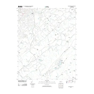 2010 Blockhouse2010 Print · USGSSoutheast of Maryville, the Tennessee foothills reveal a landscape of family-named hollows and historic cemeteries during the early twenty-first century. Genealogists and local historians can locate Whites Mill, Pecks Chapel Cemetery, and the Maryville Dragway.
 - 2010 Map of Wildwood, 2010 Print
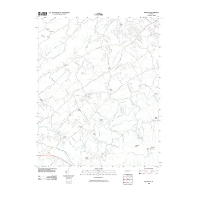 2010 Wildwood2010 Print · USGSBlount County at the turn of the decade reveals a landscape of deep-rooted family history and rising mountain ridges. Genealogists can trace local lineages through Eusebia Cemetery, Logans Chapel Cemetery, and the historic Davis Ford crossing.
 - 2010 Map of Knoxville, 2010 Print
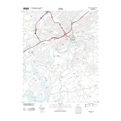 2010 Knoxville2010 Print · USGSKnoxville sits at a major geographic bend of the Tennessee River in the early twenty-first century, balancing its urban core with the surrounding ridges. Researchers can identify dozens of burial grounds like Old Gray Cemetery, trace industrial sites such as McMullen Quarry, or find landmarks like the Old Water Mill.
 - 2010 Map of Bearden, 2010 Print
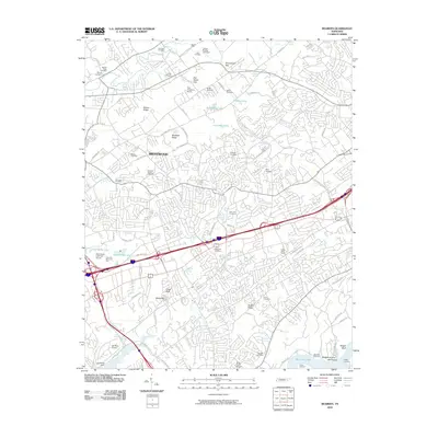 2010 Bearden2010 Print · USGSThe Knoxville suburbs in the early twenty-first century reveal a landscape of expanding neighborhoods and legacy family sites. Genealogists and local historians can trace decades of history through landmarks like Bearden Cemetery, Statesview, and the Zion Childrens Home.
 - 2010 Map of Binfield, 2010 Print
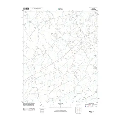 2010 Binfield2010 Print · USGSBlount County at the turn of the millennium reveals a landscape of established rural settlements and family landmarks. Genealogists and local historians can trace legacy sites like Salem Cemetery and Needmore Hill or locate crossings at Henry Bridge.
 - 2010 Map of Concord, 2010 Print
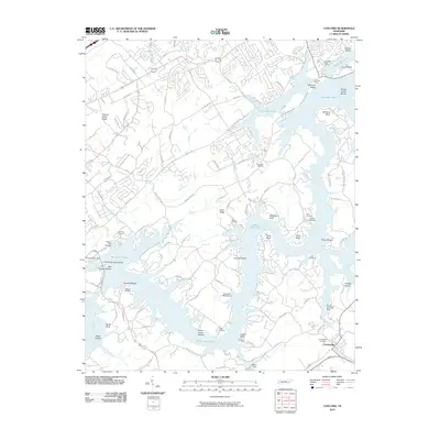 2010 Concord2010 Print · USGSThe Tennessee River valley south of Knoxville is shown here in the early twenty-first century, centered on the waters of Watts Bar Lake. Researchers can trace local heritage through sites like Friendsville Cemetery, Fort Loudoun Dam, and the Concord Post Office.
 - 2010 Map of Meadow, 2010 Print
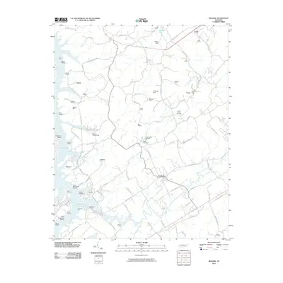 2010 Meadow2010 Print · USGSLoudon County at the turn of the twenty-first century reveals a landscape where modern reservoirs meet deep-rooted family history. Genealogists can trace ancestral sites at Unitia Cemetery and McDonald Cemetery while following the old paths to Davis Ferry and Greenback.
 - 2010 Map of Louisville, 2010 Print
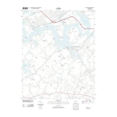 2010 Louisville2010 Print · USGSKnoxville and Louisville are shown here at the turn of the millennium as residential expansion meets the Tennessee River. Researchers can trace family history at Middlesettlements Cemetery, find the Louisville Post Office, or locate the Vertiflite Airport.
 - 2010 Map of Thunderhead Mountain, 2010 Print
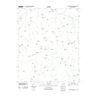 2010 Thunderhead Mountain2010 Print · USGSHigh ridges and deep coves define the Tennessee-North Carolina borderlands in the early twenty-first century. Researchers can locate remote burial sites at Bone Valley Cemetery or trace historic high-country routes through Spence Field and Hickory Tree Gap.
 - 2010 Map of Cades Cove, 2010 Print
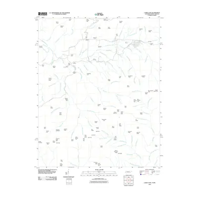 2010 Cades Cove2010 Print · USGSSettlement and preservation meet in this valley at the start of the twenty-first century. Genealogists and historians can trace family roots through Cades Cove Cemetery and the sites of the John Oliver Cabin or the Becky Cable House.
 - 2011 Map of Tallassee, 2011 Print
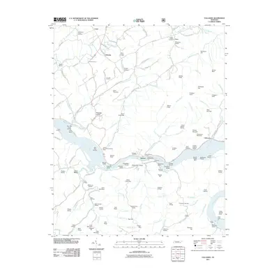 2011 Tallassee2011 Print · USGSThe Little Tennessee River valley remains the center of life in this corner of the foothills during the early twenty-first century. Researchers can trace family history through sites like Williamsons Chapel, the Scona Lodge Ferry, and the Tallassee Post Office.
 - 2011 Map of Vonore, 2011 Print
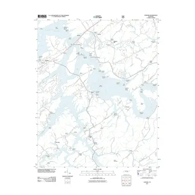 2011 Vonore2011 Print · USGSThe confluence of the Little Tennessee and Tellico Rivers in the early twenty-first century reveals a landscape shaped by water and heritage. Researchers can trace historic river crossings at Bacon Ferry and locate numerous family burial sites like Toqua Cemetery and Hardin Cemetery.
 - 2011 Map of Tapoco, 2011 Print
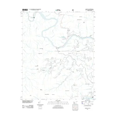 2011 Tapoco2011 Print · USGSThe Tennessee and North Carolina borderlands are centered here at a time when hydroelectric power and timber management defined the region. Researchers can trace family burial sites at Farley Cemetery or follow industrial history through Cheoah Dam and Santeetlah Dam.
 - 2011 Map of Calderwood, 2011 Print
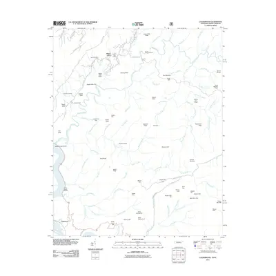 2011 Calderwood2011 Print · USGSHappy Valley and the surrounding ridges of the Tennessee-North Carolina border are documented here in the early twenty-first century. Researchers can locate family landmarks such as Boone Cemetery, trace the path through Gourley Ford, or explore the environs of Calderwood.
 - 2013 Map of Vonore, 2013 Print
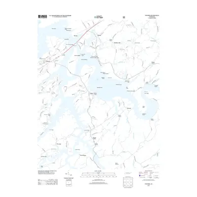 2013 Vonore2013 Print · USGSThe Little Tennessee River valley near Vonore is captured here during the twenty-first century, showing the modern lake landscape over historical sites. Researchers can locate the historic Fort Loudoun or trace family landmarks like Shaddon Mill and Bacon Ferry.
 - 2013 Map of Kinzel Springs, 2013 Print
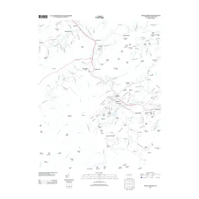 2013 Kinzel Springs2013 Print · USGSBlount County valley life and mountain ridges are documented here in the early 2010s as the river connects historic coves. Researchers can trace family names and local landmarks from Kinzel Springs and Tuckaleechee to Emert Bluff and Lawson Crossroads.
 - 2013 Map of Meadow, 2013 Print
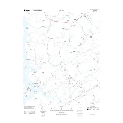 2013 Meadow2013 Print · USGSEastern Loudon County and the shores of Tellico Lake are captured here in the early twenty-first century. Genealogists and local historians can locate long-standing communities like Unitia, Greenback, and the historic site of the Morganton Ferry.
 - 2013 Map of Wear Cove, 2013 Print
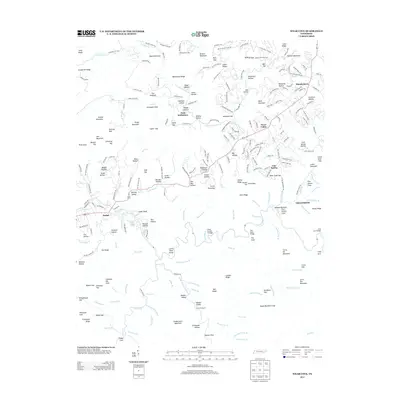 2013 Wear Cove2013 Print · USGSThe Tennessee mountains near Townsend are seen here during the early twenty-first century, showing the established communities and remote hollows of the Smokies. Researchers can trace family-named gaps and hollows like Graveyard Gap, Birckey Valley, and Smith Hollow.
 - 2013 Map of Binfield, 2013 Print
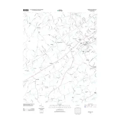 2013 Binfield2013 Print · USGSBlount County’s rural landscape comes into focus in this modern era, showing the mix of established settlements and expanding neighborhoods. Genealogists and local historians can trace legacy sites like Brick Mill and Carpenter Campground alongside natural landmarks like Kagley Lake.
 - 2013 Map of Tallassee, 2013 Print
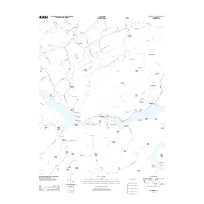 2013 Tallassee2013 Print · USGSThe Little Tennessee River valley is captured here in the early twenty-first century, showing the legacy of riverfront settlements and hydroelectric reservoirs. Researchers can trace historic access points like Babcock Trestle, the Scona Lodge Ferry, and family-named hollows near Wellsville and Tallassee.
Showing maps 1-25 of 76
Top cities of Blount County
- Maryville historical maps
- Alcoa historical maps
- Louisville historical maps
- Friendsville historical maps
- Rockford historical maps
- Townsend historical maps
Frequently asked questions
- What are the different types of historical maps available for Blount County?
- What is the oldest map of Blount County?
- Where can I purchase historical maps of Blount County for my home or office?
- Where can I download high-res historical maps of Blount County?
- Are there historical topographic maps available for Blount County?
- Is there historical aerial imagery available for Blount County?
- Where are historical maps of Blount County sourced from?