2000s (21st Century) Maps of Chester County, Tennessee
Explore 75 historic maps of Chester County from the 2000s (21st Century). These maps offer a rare glimpse into what life looked like during the 2000s — showing old roads, neighborhoods, homes, and landmarks that have changed or disappeared over time.
Whether you're researching your family's past, planning a metal detecting trip, or studying how Chester County's landscape evolved across the 2000s, these high-resolution maps are a powerful tool for exploring the history of this region.
- Focus on a specific era: All maps on this page are from the 2000s, giving you a focused view of this time period.
- See what’s changed: Compare century-old streets, trails, and buildings to today's modern landscape using overlays and satellite layers.
- Research with precision: Use these maps for genealogy, historical research, land use analysis, or educational projects.
- View, download, or print: Maps are fully viewable online in high resolution, and can be downloaded or printed for your own records.
Start exploring Chester County's history through authentic maps from the 2000s. This is your window into the past.
Chester County, TN maps
(75)- 2010 Map of Life, 2010 Print
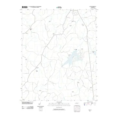 2010 Life2010 Print · USGSHenderson County, Tennessee, is captured here in the early twenty-first century, showing a rural landscape woven with family-named roads and historic burial sites. Genealogists can trace deep local roots at the Old Big Springs Cemetery, Macedonia Cemetery, and the settlement of Chapel Hill.
 - 2010 Map of Milledgeville, 2010 Print
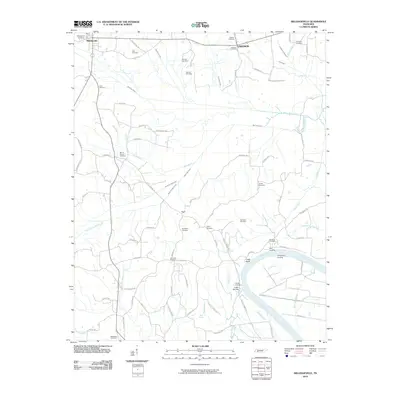 2010 Milledgeville2010 Print · USGSThe Tennessee River corridor south of Milledgeville is captured here during the early twenty-first century. Family researchers can trace roots through over a dozen rural burial grounds, including Old Union Cemetery and Norwood Cemetery, while exploring historic riverfront sites like Coffee Landing and Chalk Bluff.
 - 2010 Map of Hornsby, 2010 Print
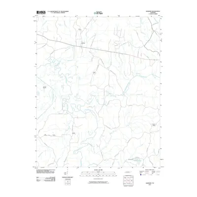 2010 Hornsby2010 Print · USGSHornsby and its surrounding river bottoms are documented here in the early twenty-first century, showcasing a rural Tennessee landscape shaped by the Hatchie River. Researchers can trace local heritage through numerous family burial sites like Grantham Cemetery and Bass Cemetery, or locate old landmarks near The Big Bottom.
 - 2010 Map of Masseyville, 2010 Print
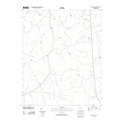 2010 Masseyville2010 Print · USGSMcNairy County in the early twenty-first century is a landscape of family-named ridges and historic burial grounds. Researchers can trace local heritage through sites like the McNairy Post Office and over a dozen cemeteries, including Fyre Cemetery and Wamble Cemetery.
 - 2010 Map of Beech Bluff, 2010 Print
 2010 Beech Bluff2010 Print · USGSMadison County at the turn of the decade reflects a deeply rooted rural community shaped by the forks of the North Fork Forked Deer River. Researchers can trace local lineage through named landmarks like Beech Bluff Post Office and John Brown Rd.
 - 2010 Map of Rose Creek, 2010 Print
 2010 Rose Creek2010 Print · USGSMcNairy County's rural landscape is captured here in the early twenty-first century, showcasing a deep network of creek-side settlements and family cemeteries. Genealogists can trace roots at Ingle Cemetery, Moores Cemetery, and along Lola Whitten Rd.
 - 2010 Map of Sardis, 2010 Print
 2010 Sardis2010 Print · USGSSardis and the surrounding Henderson County countryside are documented here in the early twenty-first century. Genealogists can trace family footprints across dozens of small burial grounds like Edge Cemetery, Hanna Cemetery, and Brazelton Cemetery.
 - 2010 Map of Medon, 2010 Print
 2010 Medon2010 Print · USGSMedon and its surrounding Madison County countryside are shown here in the early twenty-first century, characterized by a complex network of creeks and rural family homesteads. Researchers can trace local lineage through numerous burial sites including Butler Cemetery and Big Springs Cemetery, or locate old landmarks like King Dam and Little Piney Creek Camp.
 - 2010 Map of Luray, 2010 Print
 2010 Luray2010 Print · USGSHenderson County remains a landscape of river forks and rural crossroads in the early twenty-first century. Researchers can trace family history through numerous burial sites like Buckley Cemetery or locate the historic Luray Post Office and Huron Post Office.
 - 2010 Map of Leapwood, 2010 Print
 2010 Leapwood2010 Print · USGSMcNairy County at the start of the twenty-first century reveals a landscape still defined by its traditional rural settlements and family burial grounds. Researchers can trace the heritage of the area through Mars Hill Cemetery, Clover Hill, and the ridges of Bald Knob.
 - 2010 Map of Henderson, 2010 Print
 2010 Henderson2010 Print · USGSHenderson and the surrounding Chester County countryside appear in great detail during the early twenty-first century. Researchers can trace family history through numerous rural burial sites like Hearn Chapel Cemetery and Montezuma Cemetery, or explore the prehistoric Pinson Indian Mounds.
 - 2010 Map of Enville, 2010 Print
 2010 Enville2010 Print · USGSEnville and the surrounding Chester County countryside are captured here in the early twenty-first century. Family historians can trace local lineages through numerous burial sites like Cabo Cemetery and Woodlawn Cemetery near Sand Mountain.
 - 2010 Map of Mount Peter, 2010 Print
 2010 Mount Peter2010 Print · USGSMcNairy County's rural landscape is meticulously detailed in the early twenty-first century, centered on the community of Finger. Genealogists and historians can trace numerous family burial grounds including Plunk Cemetery, Beaty Cemetery, and the notable Sulphur Spring.
 - 2010 Map of Silerton, 2010 Print
 2010 Silerton2010 Print · USGSNear the turn of the decade, the area around Silerton remained a landscape of rural family cemeteries and winding creek branches. Genealogists and historians can trace the locations of Antioch Cemetery, Todd Siding, and Ross Mountain.
 - 2010 Map of Jacks Creek, 2010 Print
 2010 Jacks Creek2010 Print · USGSChester County's rural landscape is captured here in the early twenty-first century, showing a region defined by its winding waterways and ancestral grounds. Local historians can trace family land via Sweetlips Cemetery, Morris Dam, and the winding South Fork Forked Deer River.
 - 2013 Map of Rose Creek, 2013 Print
 2013 Rose Creek2013 Print · USGSMcNairy County, Tennessee, retains its rural character in this modern topographic study of its rolling woodlands and creeks. Genealogists can trace family connections through landmarks like Curtis Hill Church Rd, Moore Schoolhouse Rd, and Robinson Shed Rd.
 - 2013 Map of Silerton, 2013 Print
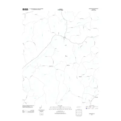 2013 Silerton2013 Print · USGSModern-day Chester County is captured here in the early twenty-first century, showing the enduring rural character of settlements like Silerton and Piney Grove. Local researchers can trace family-named routes and landmarks from Ross Mountain to Todd Siding and Palestine.
 - 2013 Map of Medon, 2013 Print
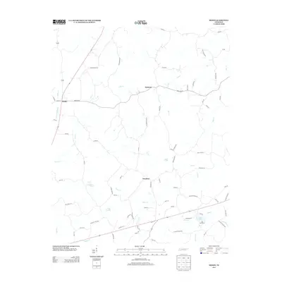 2013 Medon2013 Print · USGSMedon and its surrounding Madison County rural communities are captured here in the early 2010s. Researchers can trace family names and local landmarks through features like Mays Cemetery Rd, Deanburg, and the recreational grounds of Chickasaw State Park.
 - 2013 Map of Sardis, 2013 Print
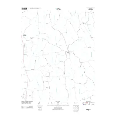 2013 Sardis2013 Print · USGSSardis and Henderson County are seen here in the early twenty-first century, showing a landscape defined by traditional farming and sophisticated water management. Genealogists and local historians can locate Mcbride Cemetery, the small community of Hinkle, and the Middle Tennessee Agricultural Station.
 - 2013 Map of Luray, 2013 Print
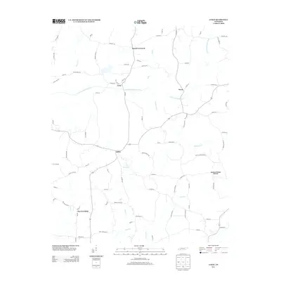 2013 Luray2013 Print · USGSHenderson County, Tennessee, is captured here in the early 2010s, showing a landscape defined by the winding N Fork Forked Deer River and its many creeks. Researchers can trace rural settlement patterns through communities like Luray and Mifflin, or locate family history near Russell Crossroads and Huron.
 - 2013 Map of Hornsby, 2013 Print
 2013 Hornsby2013 Print · USGSHardeman County's riverbottoms and rural crossroads come into focus during this 2012-2013 survey of the Hatchie River valley. Researchers can trace the layout of local landmarks like Hornsby, the wetlands of The Big Bottom, and old routes like Gooch Store Rd.
 - 2013 Map of Beech Bluff, 2013 Print
 2013 Beech Bluff2013 Print · USGSMadison County's rural landscape is captured here in the early twenty-first century as it sits between the forks of the Forked Deer River. Researchers can trace local property access and small communities like Beech Bluff, Maple Grove, and the aviation hub at Southfork Airport.
 - 2013 Map of Leapwood, 2013 Print
 2013 Leapwood2013 Print · USGSMcNairy County at the start of the 2010s shows a landscape of small rural settlements and extensive water engineering. Genealogists can trace family footprints near Mount Zion, Leapwood, and cemeteries along Hardin Graveyard Road or Combs Cemetery Road.
 - 2013 Map of Masseyville, 2013 Print
 2013 Masseyville2013 Print · USGSMcNairy County is documented in this early twenty-first-century survey as a landscape of rural communities and creek-fed bottoms. Researchers can trace family sites and local landmarks near Masseyville, Hickory Corners, and the historic Ingles Cemetery Ln.
 - 2013 Map of Henderson, 2013 Print
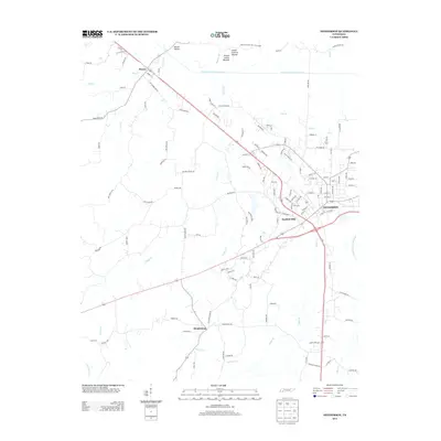 2013 Henderson2013 Print · USGSHenderson and the ancient earthworks of West Tennessee are detailed here during the early twenty-first century. Genealogists and historians can trace family land between Montezuma and Henderson or explore the Pinson Mounds Arch State Park.
Showing maps 1-25 of 75
Top cities of Chester County
Frequently asked questions
- What are the different types of historical maps available for Chester County?
- What is the oldest map of Chester County?
- Where can I purchase historical maps of Chester County for my home or office?
- Where can I download high-res historical maps of Chester County?
- Are there historical topographic maps available for Chester County?
- Is there historical aerial imagery available for Chester County?
- Where are historical maps of Chester County sourced from?