2010s Maps of Coffee County, Tennessee
Explore 64 historic maps of Coffee County from the 2010s. These maps offer a rare glimpse into what life looked like during the 2010s — showing old roads, neighborhoods, homes, and landmarks that have changed or disappeared over time.
Whether you're researching your family's past, planning a metal detecting trip, or studying how Coffee County's landscape evolved across the 2010s, these high-resolution maps are a powerful tool for exploring the history of this region.
- Focus on a specific era: All maps on this page are from the 2010s, giving you a focused view of this time period.
- See what’s changed: Compare century-old streets, trails, and buildings to today's modern landscape using overlays and satellite layers.
- Research with precision: Use these maps for genealogy, historical research, land use analysis, or educational projects.
- View, download, or print: Maps are fully viewable online in high resolution, and can be downloaded or printed for your own records.
Start exploring Coffee County's history through authentic maps from the 2010s. This is your window into the past.
Coffee County, TN maps
(64)- 2010 Map of Lynchburg East, 2010 Print
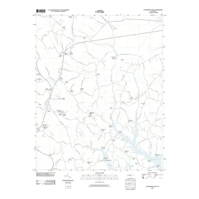 2010 Lynchburg East2010 Print · USGSThe hill country south of Tullahoma is mapped here in the early twenty-first century, showing the intricate ridges and hollows that drain into Murray Lake. Genealogists can locate over twenty burial sites, including the County Line Cemetery, Pioneer Cemetery, and Old Bethel Cemetery.
 - 2010 Map of Cane Hollow, 2010 Print
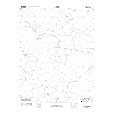 2010 Cane Hollow2010 Print · USGSGrundy County's plateau landscape is captured here in the early 2000s, showing a terrain defined by deep coves and mountain points. Genealogists can trace family names at Airview Cemetery or Johnny Cemetery and locate rural landmarks like Marvin Chapel and Counter Pen.
 - 2010 Map of Burrow Cove, 2010 Print
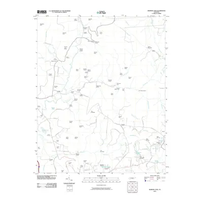 2010 Burrow Cove2010 Print · USGSGrundy County settlement and geography are captured here as the new millennium began, showing a landscape defined by its namesake coves and ridges. Genealogists can locate several family burial sites such as Roberts Cemetery and trace the proximity of Clouse Hill Mines to the community.
 - 2010 Map of Alto, 2010 Print
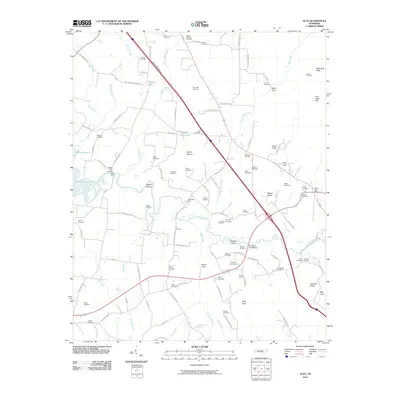 2010 Alto2010 Print · USGSPelham Valley and the Elk River lowlands are captured here in the early twenty-first century, showing a landscape rich in family history. Researchers can locate dozens of ancestral burial sites like Alto Cemetery and Sheid Cemetery or trace historical river crossings at Dabbs Ford Bridge.
 - 2010 Map of Hollow Springs, 2010 Print
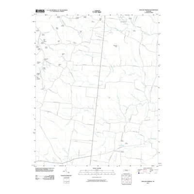 2010 Hollow Springs2010 Print · USGSHollow Springs and its surrounding Tennessee countryside appear here in the early twenty-first century, defined by a maze of family-named ridges and hollows. Genealogists can trace property roots through numerous burial grounds like King Cemetery or find local landmarks such as Goldwater Spring and Whiteoak Slash.
 - 2010 Map of Beechgrove, 2010 Print
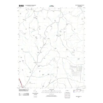 2010 Beechgrove2010 Print · USGSCoffee County remains a landscape of deep hollows and family homesteads as seen in the first decade of the millennium. Genealogists can trace decades of local history through dozens of named burial sites like Thyatira Cemetery, Donnell Cemetery, and the Beech Grove Post Office area.
 - 2010 Map of Fredonia, 2010 Print
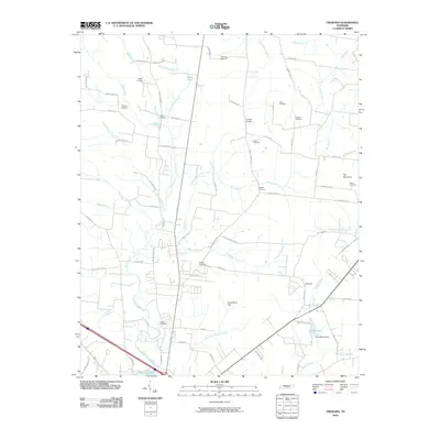 2010 Fredonia2010 Print · USGSThis Tennessee landscape south of Manchester reveals a detailed network of family homesteads and rural crossroads as they appeared in 2010. Genealogists can locate numerous family burial sites such as Duncan and Welker, alongside local landmarks like Patmos Chapel and Lake Womack.
 - 2010 Map of Normandy, 2010 Print
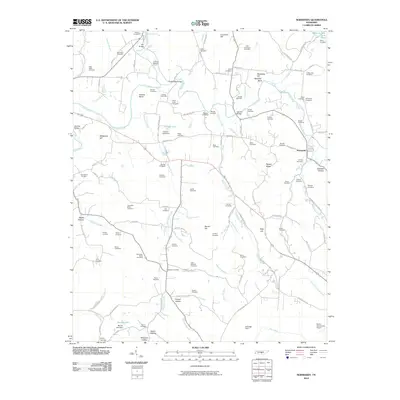 2010 Normandy2010 Print · USGSThe Tennessee countryside around Normandy is captured here in the early twenty-first century, centered on the winding Duck River. Researchers can trace dozens of family burial sites like Kimzey Cemetery and Shofner Cemetery, or locate landmarks such as Saltpeter Bluff and Cortner Lake.
 - 2010 Map of Tullahoma, 2010 Print
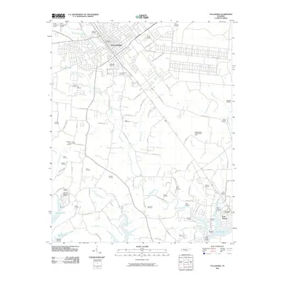 2010 Tullahoma2010 Print · USGSTullahoma and Estill Springs are captured in the early twenty-first century, showcasing a transition from rural farmland to expanding municipal centers. Researchers can locate dozens of burial grounds like Camp Forrest Cemetery and Mount Olivet Cemetery or trace the inlets of Murray Lake.
 - 2010 Map of Noah, 2010 Print
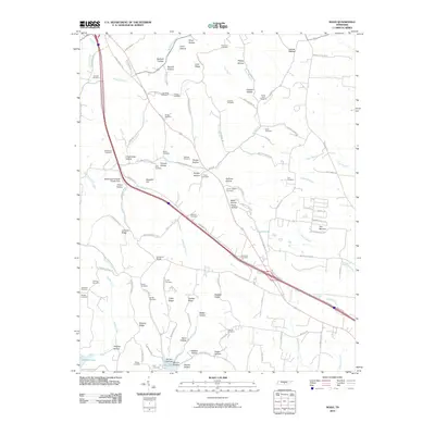 2010 Noah2010 Print · USGSCoffee County remains a landscape of deep family roots and named hollows at the start of the 21st century. Genealogists can locate numerous family burial grounds, from Hurricane Cemetery to the Sartain Cemetery, near the rural settlement of Sixteenth Model.
 - 2010 Map of Manchester, 2010 Print
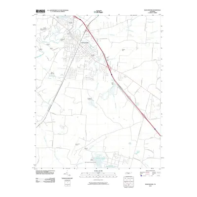 2010 Manchester2010 Print · USGSManchester and the surrounding Coffee County landscape are shown in detail as they appeared in 2010, centered on the confluence of the Duck River and Little Duck River. Genealogists and local historians can locate several family burial grounds, including Granny Hickerson Cemetery and Wooten Cemetery, alongside industrial landmarks like Morton Dam.
 - 2010 Map of Normandy Lake, 2010 Print
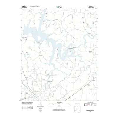 2010 Normandy Lake2010 Print · USGSTullahoma and Normandy Lake are shown at the start of the 21st century, where the Duck River valley meets expanding aviation and regional infrastructure. Researchers can locate numerous family burial grounds like Old Redden Cemetery or trace landmarks like Anthony Bridge and Machine Falls.
 - 2010 Map of Capitol Hill, 2010 Print
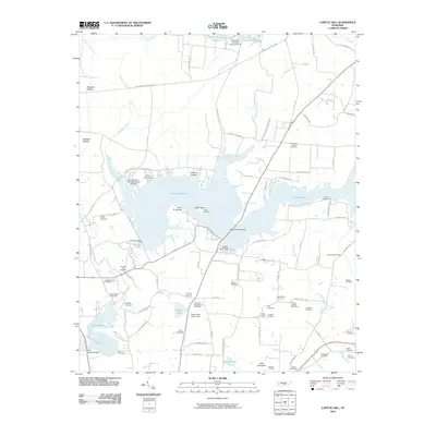 2010 Capitol Hill2010 Print · USGSFranklin County's landscape shows a unique mix of mid-century aerospace development and deep pioneer roots. Genealogists can trace family history through dozens of sites like Duncans Stagecoach Cemetery, Old Bethpage Cemetery, and Morris Ferry Bridge.
 - 2010 Map of Hillsboro, 2010 Print
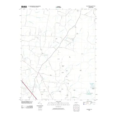 2010 Hillsboro2010 Print · USGSCemeteries and cove settlements define this Tennessee landscape in the early twenty-first century. Genealogists can trace family footprints across Simmons Cemetery, Henry Cove, and the area around Spencer Field.
 - 2010 Map of Morrison, 2010 Print
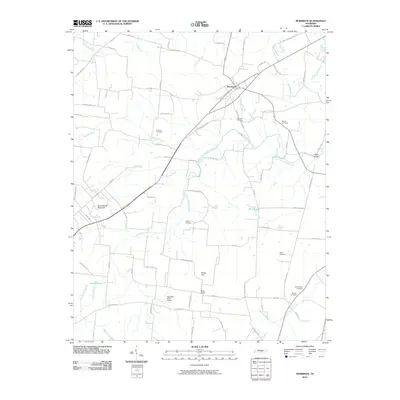 2010 Morrison2010 Print · USGSThe rural landscape of Warren County is documented here at the start of the 2010s, centered on the village of Morrison. Genealogists can trace family roots through numerous sites including Morrison Cemetery, Bryan Cemetery, and landmarks like Hanlin Bridge.
 - 2010 Map of Centertown, 2010 Print
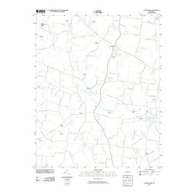 2010 Centertown2010 Print · USGSCentertown and the rural stretches of Warren County are shown here in the early twenty-first century, revealing a landscape shaped by the Barren Fork. Researchers can trace numerous family burial sites and landmarks like Old Fellowship Cemetery, Starkey Rock, and the Poor House Cemetery.
 - 2013 Map of Burrow Cove, 2013 Print
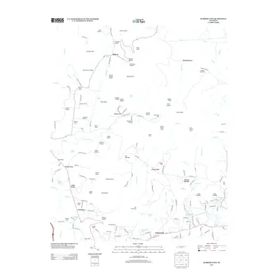 2013 Burrow Cove2013 Print · USGSThe Cumberland Plateau landscape near Tracy City is captured here in the early twenty-first century, showing a region shaped by its springs and hollows. Genealogists and hikers can trace family-named landmarks like Granny Hamby Hollow, find the Krashinsky Airfield, or locate the settlements at Sartain Springs and Summerfield.
 - 2013 Map of Hillsboro, 2013 Print
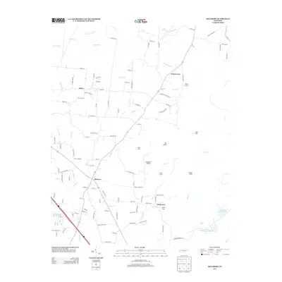 2013 Hillsboro2013 Print · USGSHillsboro and the surrounding Tennessee coves are mapped here just after the turn of the millennium. Local researchers can trace family-named landmarks like Winton Town and geographic features such as Stillhouse Hollow and Henry Cove.
 - 2013 Map of Morrison, 2013 Print
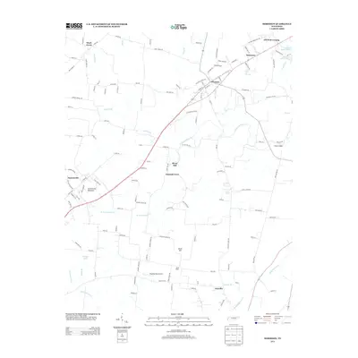 2013 Morrison2013 Print · USGSWarren County in the early twenty-first century reveals a landscape of small crossroads communities and agricultural heritage. Genealogists and local historians can trace family-named locations such as Bryan Mill, Sainville, and Old Well Crossing.
 - 2013 Map of Cane Hollow, 2013 Print
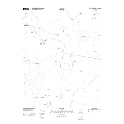 2013 Cane Hollow2013 Print · USGSThe Tennessee highlands near Altamont come into focus in the early 2010s, revealing a landscape of remote hollows and high points. Genealogists and hikers can trace old routes to Marvin Chapel, Hubbards Cove, and the distinctive terrain of Hickory Creek Gulf.
 - 2013 Map of Alto, 2013 Print
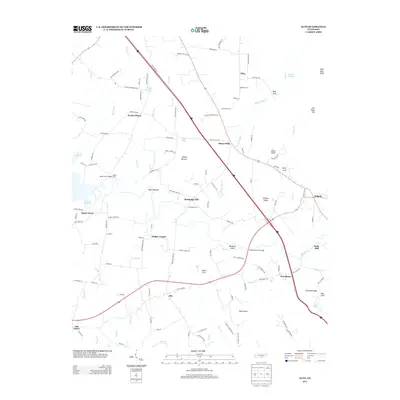 2013 Alto2013 Print · USGSThe rural Tennessee valley near Alto comes into focus in this early twenty-first-century survey of the Elk River headwaters. Genealogists can trace family footprints through labels like Wilder Chapel, Bells Mill, and the crossings at Rutledge Ford or Patterson Ford Bridge.
 - 2013 Map of Normandy, 2013 Print
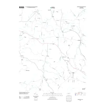 2013 Normandy2013 Print · USGSNear the Duck River valley in the early 2010s, this Tennessee landscape shows a transition from historic milling sites to modern aviation. Local historians can trace established settlements like Normandy and Raus alongside landmarks like Cortners Mill and Saltpeter Bluff.
 - 2013 Map of Capitol Hill, 2013 Print
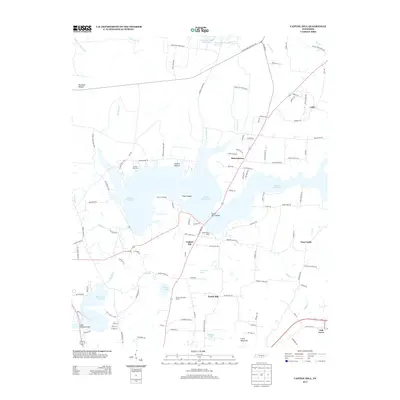 2013 Capitol Hill2013 Print · USGSFranklin County in the early twenty-first century is defined by its massive reservoirs and the sprawling grounds of Arnold Air Force Base. Trace local history through family settlements and sites like Capitol Hill, Duncantown, and Morris Ferry Bridge.
 - 2013 Map of Lynchburg East, 2013 Print
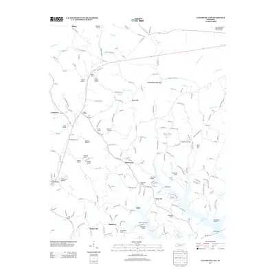 2013 Lynchburg East2013 Print · USGSThe eastern edges of Lynchburg and the rising Highland Rim are captured here in the early twenty-first century. Genealogists can trace family lands across Stillhouse Hollow, Possumtrot Ridge, and the settlements of Bakertown and Turkey Creek.
 - 2013 Map of Fredonia, 2013 Print
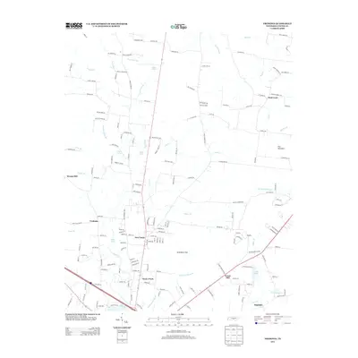 2013 Fredonia2013 Print · USGSCoffee County in the early 2010s shows a landscape of long-standing rural communities and winding river branches. Genealogists and local historians can trace family land via Ogles Cemetery Rd and locate landmarks like Patmos Chapel or Strauss Mill.
Showing maps 1-25 of 64
Top cities of Coffee County
Frequently asked questions
- What are the different types of historical maps available for Coffee County?
- What is the oldest map of Coffee County?
- Where can I purchase historical maps of Coffee County for my home or office?
- Where can I download high-res historical maps of Coffee County?
- Are there historical topographic maps available for Coffee County?
- Is there historical aerial imagery available for Coffee County?
- Where are historical maps of Coffee County sourced from?