Old Maps of Decatur County, Tennessee for Hiking & Exploration
Hike through history with 86 historic maps of Decatur County. Explore old trails, ghost towns, and forgotten backroads — perfect for outdoor adventurers and local explorers.
- Rediscover forgotten places: Map out old mining camps, roads, and footpaths that no longer exist on modern maps.
- Layer with modern tools: Combine with LiDAR or satellite views to plan hikes through historical terrain.
- Made for exploration: Popular among hikers, overlanders, and local history lovers.
Use these maps to find adventure and explore the hidden past of Decatur County.
Decatur County, TN maps
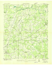
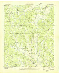
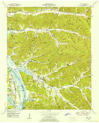
(86)- 1905 Map of Waynesboro
 1905 Waynesboro1905 Print · USGSWayne County and the Tennessee-Alabama borderlands are captured here at the start of the century, showing a network of river landings and old stage stands. Researchers can trace the Nathez Trace and locate historic community hubs like Martins Mills, Whittens Stand, and Clifton.2 unique versions available
 - 1936 Map of Scotts Hill
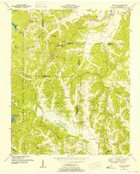
 1936 Scotts Hill1936 Print · USGSHenderson and Decatur counties appear here in the mid-1930s, showing a rural landscape before modern development altered the river valleys. Researchers can locate many vanished community hubs like Dixie Mills, the County Farm, and New Hope Ch.
 - 1936 Map of Parsons
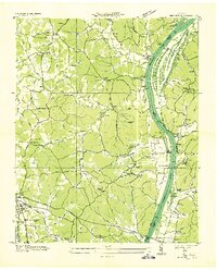
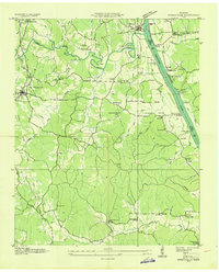
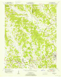
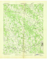 1936 Parsons1936 Print · USGSDecatur and Henderson counties are captured here in the mid-1930s, showing a landscape defined by the Nashville Chattanooga and St Louis Railway. Trace family history across rural settlements and landmarks like Old Safford, Wilkinstown, and the Cedar Hill Ch & Cem.
 - 1936 Map of Thurman
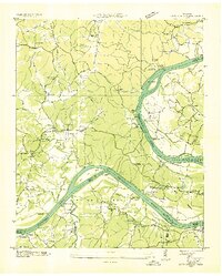
 1936 Thurman1936 Print · USGSThe Tennessee River valley at Pitts Bend is captured here in the mid-thirties, showing a landscape of riverfront landings and upland farms. Genealogists can trace family names at Altillo Cem and Bethel Cem or find old school sites like Doe Creek Sch.
 - 1936 Map of Bath Springs
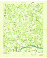
 1936 Bath Springs1936 Print · USGSThe Tennessee River valley in the mid-1930s was a landscape defined by its river landings and rural crossroads. You can trace dozens of historic river access points like Furnace Landing and Jeter Landing alongside local landmarks like Bath Springs Ch.
 - 1936 Map of Daniels Landing
 1936 Daniels Landing1936 Print · USGSLife along the Tennessee River in the mid-1930s was defined by its landings and creek-side communities before major dam projects altered the valley. Genealogists can trace family landmarks like Britt Chapel Cem, Daniels Landing, and the school at Oakview Sch.
 - 1936 Map of Clifton
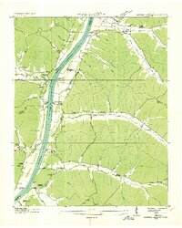
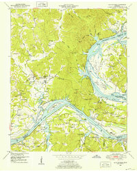
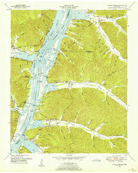
 1936 Clifton1936 Print · USGSThe Tennessee River corridor around Clifton was a network of active landings and rural ridge communities during the mid-1930s. Researchers can trace ancestral locations through several family-named cemeteries like Tucker Cem and Prater Cem, or map old river crossings such as Clifton Ferry.
 - 1936 Map of Jeannette
 1936 Jeannette1936 Print · USGSDecatur County's riverbank communities and hills are captured here in the mid-thirties as the Tennessee River valley underwent significant change. Genealogists and historians can locate family landmarks like Walker Cem and trace the paths to Busseltown or Bells Store.
 - 1936 Map of Sugar Tree
 1936 Sugar Tree1936 Print · USGSDecatur and Benton counties are shown in the mid-thirties just as the TVA began its work along the river. Researchers can locate numerous family-named landmarks and community centers such as McIlwain, Hartley Cem, and Moore Chapel Sch.
 - 1936 Map of Cavvia
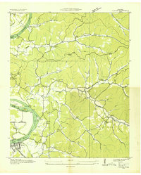
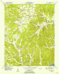
 1936 Cavvia1936 Print · USGSWest Tennessee rural life is captured in the mid-1930s where four counties converge among the forks of Birdsong and Cub Creeks. Researchers can trace ancestral locations at Shiloh Cem, identify vanished schoolhouse sites like Unity Sch, or locate old commercial hubs such as Tolleys Store.
 - 1936 Map of Perryville
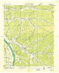
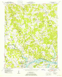
 1936 Perryville1936 Print · USGSDecatur County at the height of the Great Depression shows a river-dependent landscape centered on the Tennessee River. Researchers can locate several river landings and crossings, including Perryville Ferry and Mt Zion Cem.
 - 1936 Map of Pope
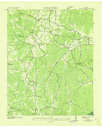
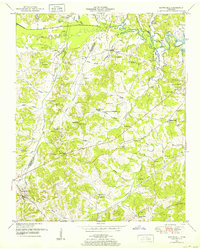
 1936 Pope1936 Print · USGSAlong the banks of the Tennessee River in the mid-1930s, this area supported a network of river landings and small valley settlements. Genealogists and historians can locate family-named landmarks like Simmons Cem, trace the location of the Old Furnace, and identify rural schools such as Gumdale Sch.
 - 1949 Map of Perryville, 1952 Print
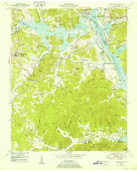 1949 Perryville1952 Print · USGSDecatur County was undergoing significant transformation in the late 1940s as the Tennessee River valley adjusted to the creation of Kentucky Lake. Researchers can trace historic river landings like Jennings Bluff Landing, early industry at the Furnace, and rural landmarks such as Cypress Creek School.3 unique versions available
 - 1949 Map of Pope, 1952 Print
 1949 Pope1952 Print · USGSThe Tennessee River valley underwent a massive transformation in the mid-twentieth century as Kentucky Lake reshaped the Perry County shoreline. Researchers can trace old river connections at Brownsport Landing and locate vanished landmarks like the abandoned ore furnace stack and Gumdale School.2 unique versions available
 - 1949 Map of Bath Springs, 1952 Print
 1949 Bath Springs1952 Print · USGSThe Tennessee River corridor in the late 1940s shows a landscape of river landings and ridge-top settlements along the Decatur and Perry county lines. Genealogists can locate family-named landmarks like Lafferty Cemetery and Tuckers Store or trace the rural river economy at Yarbro Landing.3 unique versions available
 - 1949 Map of Clifton, 1952 Print
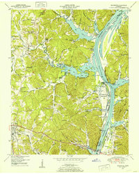
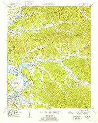 1949 Clifton1952 Print · USGSThe riverfront town of Clifton and its surrounding ridges are captured in the late 1940s as the Tennessee River valley adapted to the impacts of Kentucky Lake. Genealogists can trace family landmarks and community nodes like Peters Landing, New Zion Ch, and the Lone Chestnut Cem.4 unique versions available
 - 1949 Map of Thurman, 1952 Print
 1949 Thurman1952 Print · USGSThe Tennessee River shoreline at the turn of the 1950s is captured here in detail, showing the river-based economy of Decatur County. Researchers can trace old family names and settlements like Lick Skillet, find the Union Hall School, or locate river landings at Swallow Bluff.2 unique versions available
 - 1949 Map of Daniels Landing, 1953 Print
 1949 Daniels Landing1953 Print · USGSWest Tennessee river life is captured here in the late 1940s as the valley adapted to the creation of Kentucky Lake. Researchers can trace old family sites and river landings such as Daniels Landing, Blue Creek School, and Britta Chapel.3 unique versions available
 - 1949 Map of Jeannette, 1953 Print
 1949 Jeannette1953 Print · USGSDecatur County's riverfront landscape is shown here in the late 1940s as the Tennessee River valley adjusted to the presence of Kentucky Lake. Genealogists and historians can trace family locations through Rocky Hill School, Salem Ch, and the Dismantled RR near Parsons.2 unique versions available
 - 1949 Map of Sugar Tree, 1953 Print
 1949 Sugar Tree1953 Print · USGSBenton and Decatur Counties are captured in the late 1940s, showing a landscape of deep hollows and high ridges along the Tennessee River. Genealogists can trace family names at Manley Chapel Cemetery and locate vanished local landmarks like Spences Store or Mellwain.2 unique versions available
 - 1950 Map of Scotts Hill, 1952 Print
 1950 Scotts Hill1952 Print · USGSHenderson and Decatur Counties are captured here in the early fifties, showing a rural landscape anchored by Scotts Hill and the western shore of Kentucky Lake. Genealogists can trace deep local roots at Rushing Grove Church, Dixie Mills, and numerous family cemeteries.3 unique versions available
 - 1950 Map of Holladay, 1953 Print
 1950 Holladay1953 Print · USGSBenton and Carroll counties meet in this mid-century survey of West Tennessee just as the modern state park system was maturing. Genealogists can locate family names and rural centers like Shiloh, Poplar Springs Sch, and the Williams Cem.3 unique versions available
 - 1950 Map of Parsons, 1953 Print
 1950 Parsons1953 Print · USGSThe rural communities and creek-side settlements of West Tennessee are well-documented here just after the war. Family historians can trace the locations of Mt Ararat Church, Central School, and Hayes Cemetery across the Henderson and Decatur County line.2 unique versions available
 - 1956 Map of Columbia, 1960 Print
 1956 Columbia1960 Print · USGSMiddle Tennessee in the mid-fifties presents a landscape of established river towns and critical rail hubs before the arrival of the modern interstate system. Researchers can trace the routes of the Louisville and Nashville railroad or locate historic landmarks like Stones River National Military Park and the Tennessee National Wildlife Refuge.6 unique versions available
 - 1956 Map of Blytheville, 1964 Print
 1956 Blytheville1964 Print · USGSWest Tennessee and the Arkansas Delta come alive in this mid-century survey of the river-and-rail corridor connecting Memphis to Jackson. Genealogists and historians can trace the rail lines of the Louisville and Nashville RR and locate landmarks like Western State Hospital or Fort Pillow State Prison Farm.2 unique versions available
Showing maps 1-25 of 86
Top cities of Decatur County
Frequently asked questions
- What are the different types of historical maps available for Decatur County?
- What is the oldest map of Decatur County?
- Where can I purchase historical maps of Decatur County for my home or office?
- Where can I download high-res historical maps of Decatur County?
- Are there historical topographic maps available for Decatur County?
- Is there historical aerial imagery available for Decatur County?
- Where are historical maps of Decatur County sourced from?