2010s Maps of Decatur County, Tennessee
Explore 44 historic maps of Decatur County from the 2010s. These maps offer a rare glimpse into what life looked like during the 2010s — showing old roads, neighborhoods, homes, and landmarks that have changed or disappeared over time.
Whether you're researching your family's past, planning a metal detecting trip, or studying how Decatur County's landscape evolved across the 2010s, these high-resolution maps are a powerful tool for exploring the history of this region.
- Focus on a specific era: All maps on this page are from the 2010s, giving you a focused view of this time period.
- See what’s changed: Compare century-old streets, trails, and buildings to today's modern landscape using overlays and satellite layers.
- Research with precision: Use these maps for genealogy, historical research, land use analysis, or educational projects.
- View, download, or print: Maps are fully viewable online in high resolution, and can be downloaded or printed for your own records.
Start exploring Decatur County's history through authentic maps from the 2010s. This is your window into the past.
Decatur County, TN maps
(44)- 2010 Map of Jeannette, 2010 Print
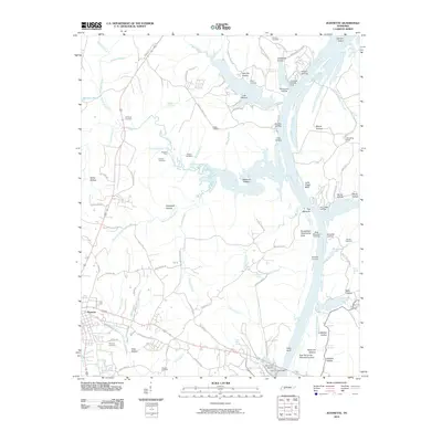 2010 Jeannette2010 Print · USGSThe riverfront and the western reaches of Parsons come alive on this 2010 survey of Decatur County. Researchers can trace family history at Parsons Cemetery and Wilkins Cemetery or explore the historic river access points at Bohannons Landing and Mousetail Landing.
 - 2010 Map of Parsons, 2010 Print
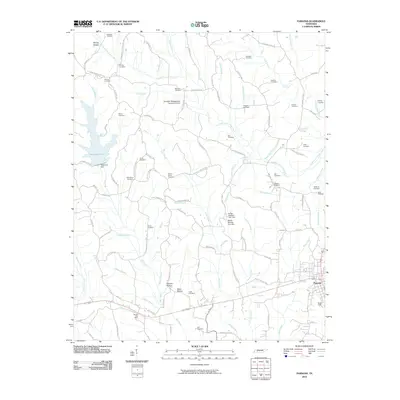 2010 Parsons2010 Print · USGSThe community of Parsons and its surrounding rural townships are shown here as they appeared in the early 2000s. Genealogists and historians can locate numerous family burial grounds like Derryberry Cemetery and Eubanks Cemetery or trace landmarks such as the Darden Post Office.
 - 2010 Map of Bath Springs, 2010 Print
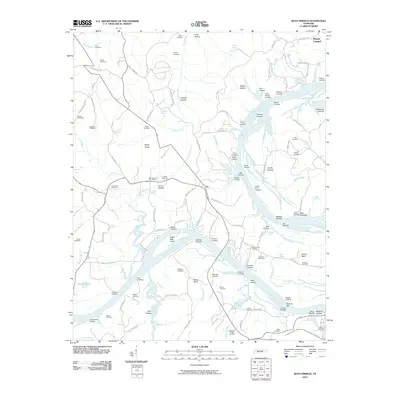 2010 Bath Springs2010 Print · USGSThe Tennessee River corridor comes alive in this survey, showing a network of historic landings and furnace sites. Genealogists can trace family roots through numerous local plots like Lafferty Cemetery or visit the site of the old Decatur Furnace.
 - 2010 Map of Thurman, 2010 Print
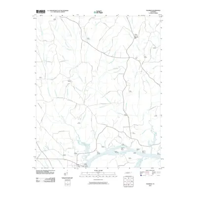 2010 Thurman2010 Print · USGSHardin County river life and rural settlements are captured here in the decade following the millennium. Genealogists and local historians can locate dozens of family burial sites like Holland Cemetery and river landmarks such as Swallow Bluff.
 - 2010 Map of Perryville, 2010 Print
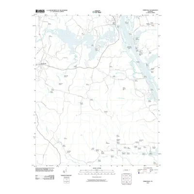 2010 Perryville2010 Print · USGSThe Tennessee River corridor and its many landings define this area in 2010. Genealogists can trace deep local roots through family-named landmarks and rural burial grounds like Luton Cemetery, Wallace Cemetery, and the site of Brownsport Furnace.
 - 2010 Map of Scotts Hill, 2010 Print
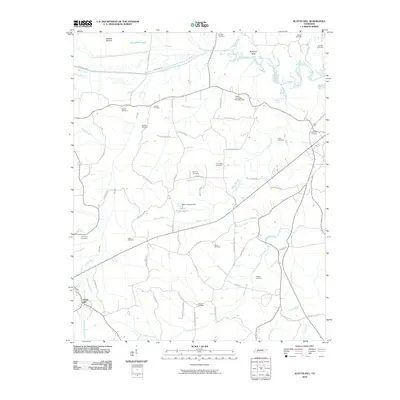 2010 Scotts Hill2010 Print · USGSIn the hills of West Tennessee, this survey captures the rural community of Scotts Hill and its surrounding family farmsteads. Genealogists can trace decades of local history through dozens of named sites like Myracle Cemetery, Hensley Cemetery, and Bumpers Bluff.
 - 2010 Map of Holladay, 2010 Print
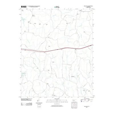 2010 Holladay2010 Print · USGSBenton and Decatur counties are mapped here during the early twenty-first century, revealing a landscape deeply rooted in family history and rural waterways. Genealogists and researchers can trace local family names through sites like Shiloh Cemetery, Beasley Cemetery, and the Holladay Post Office.
 - 2010 Map of Sugar Tree, 2010 Print
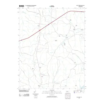 2010 Sugar Tree2010 Print · USGSDecatur County at the turn of the millennium remains a landscape of deep hollows and family-named landmarks east of the river. Genealogists can locate numerous local burial grounds such as Flavwoods Cemetery and Hartley Cemetery near the Sugar Tree Post Office.
 - 2010 Map of Pope, 2010 Print
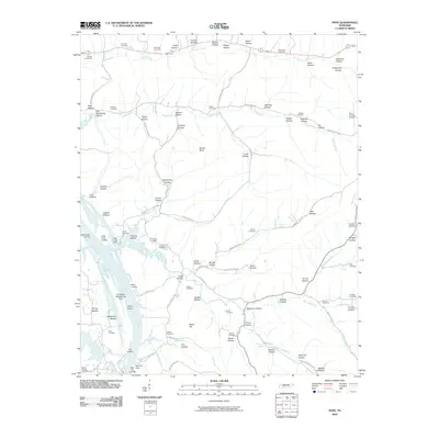 2010 Pope2010 Print · USGSDecatur and Perry counties follow the winding Tennessee River at the turn of the twenty-first century, where water-borne history meets rural life. Genealogists can trace family landmarks like Richardson Cemetery, Brownsport Landing, and Gobelet Cemetery.
 - 2010 Map of Daniels Landing, 2010 Print
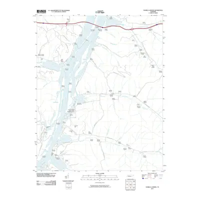 2010 Daniels Landing2010 Print · USGSThe Tennessee River valley in the early twenty-first century reveals a landscape shaped by riverfront landings and deeply etched hollows. Genealogists can trace family heritage through numerous burial sites like Griggs Cemetery and Northern Cemetery or visit Daniels Landing.
 - 2010 Map of Clifton, 2010 Print
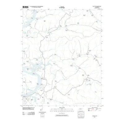 2010 Clifton2010 Print · USGSThe Tennessee River corridor in Wayne County remained a landscape of historic landings and family-named hollows into the early twenty-first century. Researchers can trace ancestral roots through the Methodist Camp Ground Cemetery, identify old river access at Clifton Ferry, and locate the Peters Landing Post Office.
 - 2013 Map of Daniels Landing, 2013 Print
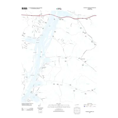 2013 Daniels Landing2013 Print · USGSThe eastern shores of Kentucky Lake are documented here in the early 21st century, showing a landscape shaped by river recreation and intricate hollows. Researchers can trace numerous old landings and marinas like Daniels Landing and Sugar Tree Marina alongside dozens of named landmarks such as Hellsneck Hollow and Blue Sky.
 - 2013 Map of Pope, 2013 Print
 2013 Pope2013 Print · USGSAlong the eastern shores of Kentucky Lake in the early 2010s, this area retains a traditional network of landings and hollows. Researchers can trace historical river access at Brownsport Landing and explore family-named sites like Orebank Hollow and Horner.
 - 2013 Map of Scotts Hill, 2013 Print
 2013 Scotts Hill2013 Print · USGSDecatur County near the Beech River reflects a long history of rural settlement and water-based land use. Researchers can trace family-named landmarks and local sites like Dixie Mills, Bumpers Bluff, and the waters of Festus Jackson Lake.
 - 2013 Map of Clifton, 2013 Print
 2013 Clifton2013 Print · USGSThe Tennessee River waterfront at Clifton is captured here in the early twenty-first century, showing a landscape defined by river landings and island chains. Genealogists and researchers can trace local landmarks like Clifton Ferry, Glenkirk Island, and the small community of Mooney.
 - 2013 Map of Jeannette, 2013 Print
 2013 Jeannette2013 Print · USGSDecatur County and the Tennessee River valley are shown in the early twenty-first century as the landscape balances town life with riverfront geography. Genealogists and local historians can trace the roads around Parsons or locate old river landings like Mousetail Landing and Brodies Landing.
 - 2013 Map of Holladay, 2013 Print
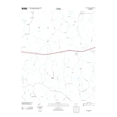 2013 Holladay2013 Print · USGSHolladay and the surrounding Carroll County countryside are shown here in the early twenty-first century, as modern highways intersect ancient creek drainages. Researchers can trace rural landmarks from the Old Poplar Springs School to the Maple Creek Lookout Tower and Christian Chapel.
 - 2013 Map of Perryville, 2013 Print
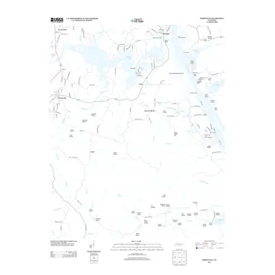 2013 Perryville2013 Print · USGSThe Tennessee River shoreline at Perryville comes to life in the early 2010s, showing a landscape defined by landings and deep hollows. Genealogists can trace family landmarks near Brownsport Furnace, Stillhouse Hollow, and the rural community of Mount Tabor.
 - 2013 Map of Sugar Tree, 2013 Print
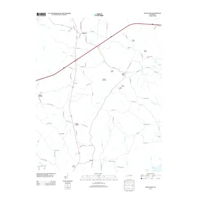 2013 Sugar Tree2013 Print · USGSThe rural communities of Decatur County are captured here in the early twenty-first century as they border the waters of the Tennessee River. Researchers can trace family roots through landmarks like Akins Chapel, Cozette, and the Bawcum Cemetery.
 - 2013 Map of Parsons, 2013 Print
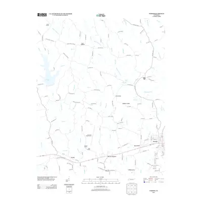 2013 Parsons2013 Print · USGSParsons and the surrounding Tennessee countryside are captured in this recent survey during a period of steady rural development. Genealogists and local researchers can trace family landmarks near Bible Hill, Hickory Forks, and the small community of Beacon.
 - 2013 Map of Thurman, 2013 Print
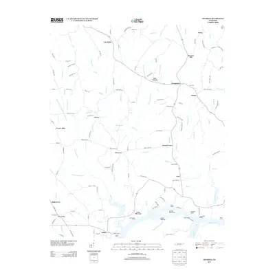 2013 Thurman2013 Print · USGSThe Tennessee River valley north of Saltillo is captured here in the early twenty-first century, showing a landscape defined by Kentucky Lake and rural crossroads. Researchers can trace family history through sites like Gardner Cemetery, the Haney School, and the riverfront at Point Pleasant.
 - 2013 Map of Bath Springs, 2013 Print
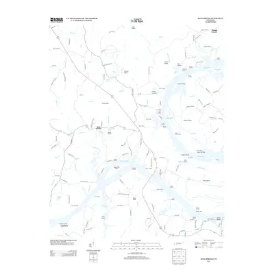 2013 Bath Springs2013 Print · USGSThe Tennessee River valley in the early 2010s reveals a landscape of river landings and small communities like Bath Springs. You can trace historical river sites from Decatur Furnace to Eagle Nest Island and explore family-named hollows and springs.
 - 2016 Map of Parsons, 2016 Print
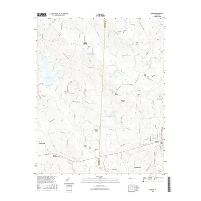 2016 Parsons2016 Print · USGSThe crossroads town of Parsons and the Beech River valley are shown here in the mid-2010s, illustrating a landscape defined by family settlements and rural hollows. Trace family history through numerous landmarks like Mount Ararat Cem, New Safford, and the hollows of Buckner and Flowers.
 - 2016 Map of Thurman, 2016 Print
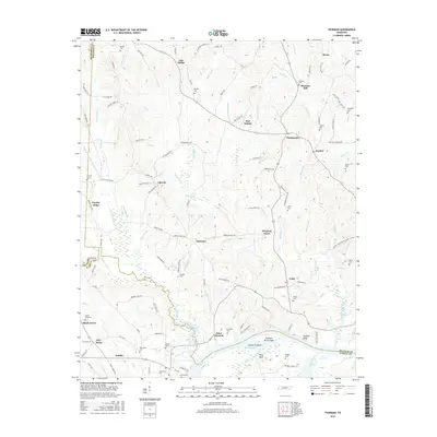 2016 Thurman2016 Print · USGSHardin and Decatur Counties are captured in this mid-2010s survey as the Tennessee River winds past established riverfront settlements. Genealogists can locate family-named landmarks like Adkisson Cem and Lafferty Cem or trace the rural layouts of Lick Skillet and Saltillo.
 - 2016 Map of Perryville, 2016 Print
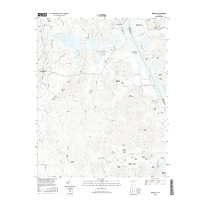 2016 Perryville2016 Print · USGSThe Tennessee River valley at Kentucky Lake is shown here in the mid-2010s, capturing the communities of Perryville and Decaturville. Genealogists and historians can trace numerous family burial sites like Mount Zion Cem and industrial landmarks such as The Coalings.
Showing maps 1-25 of 44
Top cities of Decatur County
Frequently asked questions
- What are the different types of historical maps available for Decatur County?
- What is the oldest map of Decatur County?
- Where can I purchase historical maps of Decatur County for my home or office?
- Where can I download high-res historical maps of Decatur County?
- Are there historical topographic maps available for Decatur County?
- Is there historical aerial imagery available for Decatur County?
- Where are historical maps of Decatur County sourced from?