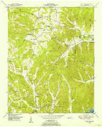
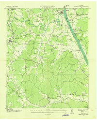
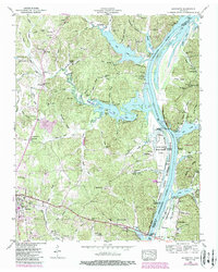
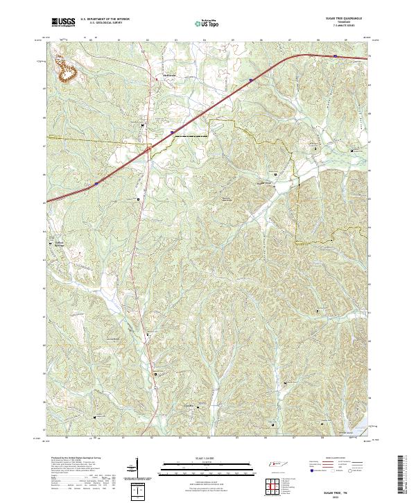
1949 Map of Sugar Tree
USGS Topo · Published 1953This historical map portrays the area of Sugar Tree in 1949, primarily covering Decatur County as well as portions of Benton County and Perry County. Featuring a scale of 1:24000, this map provides a highly detailed snapshot of the terrain, roads, buildings, counties, and historical landmarks in the Sugar Tree region at the time. Published in 1953, it is one of 2 known editions of this map due to revisions or reprints.
Find a feature on this map
55 named features on this map. Tap any name to fly to it.
Don’t see what you’re looking for? This feature index may not catch every label — zoom into the map to look around manually.
Map Details
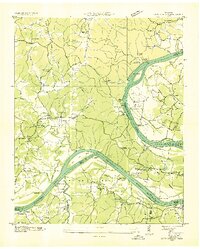
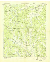
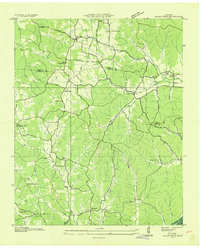
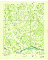
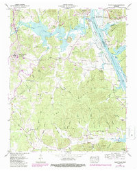
Editions of this 1949 Sugar Tree Map
2 editions found
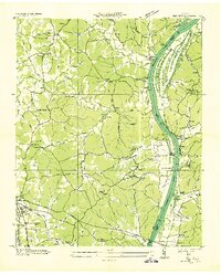
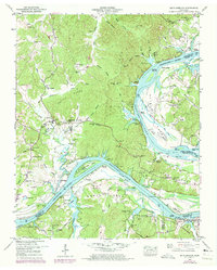
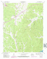
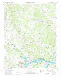
Historical Maps of Decatur County Through Time
16 maps found
1936 Bath Springs
Decatur County, TN
1936 Cavvia
Decatur County, TN
1936 Jeannette
Decatur County, TN
1936 Perryville
Decatur County, TN
1936 Sugar Tree
Decatur County, TN
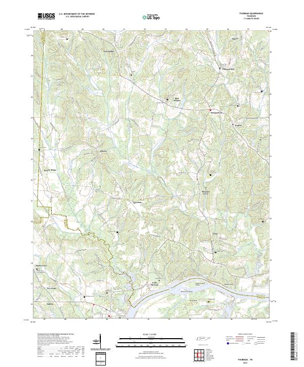
1936 Thurman
Decatur County, TN
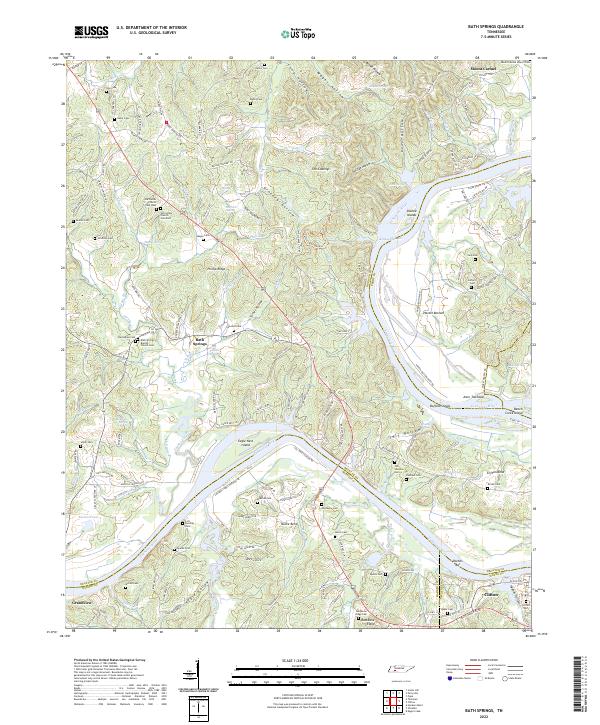
1949 Bath Springs
Decatur County, TN
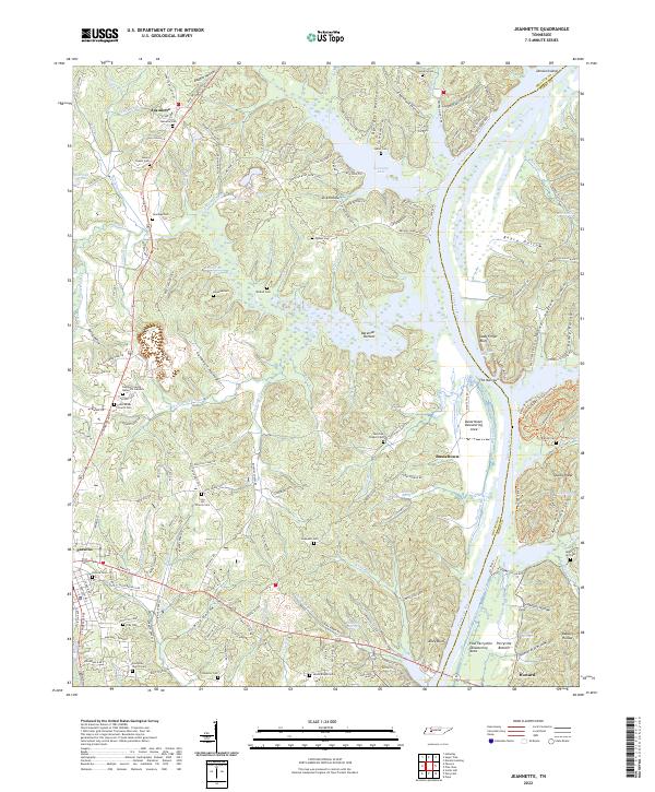
1949 Jeannette
Decatur County, TN
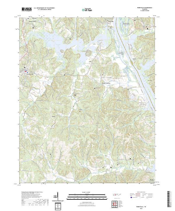
1949 Perryville
Decatur County, TN
1949 Sugar Tree
Decatur County, TN
1949 Thurman
Decatur County, TN
2022 Bath Springs
Decatur County, TN
2022 Jeannette
Decatur County, TN
2022 Perryville
Decatur County, TN
2022 Sugar Tree
Decatur County, TN
2022 Thurman
Decatur County, TN