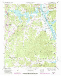
1949 Map of Perryville
USGS Topo · Published 1987About this map
Decaturville and Perryville serve as the primary hubs on this post-war landscape, situated where the Beech River meets the expansive Kentucky Lake and Tennessee River. The topography is defined by a dense network of hollows—such as Stillhouse Hollow, Furnace Hollow, and Slabtown Hollow—that carve through the elevated region known as The Coalings. This area, likely once tied to charcoal production for early industry, is dotted with family-named landmarks and rural infrastructure, including the Mt Tabor Ch and several small burial grounds like Boyer Cem and Fisher Cem. Along the riverbanks, numerous landings including Webbs Landing and Fishers Landing reflect a long-standing reliance on water-based transit. The transition from traditional river life to modern utility is evidenced by the gaging and pumping sta at East Perryville Dewatering Area and the establishment of the Beech Bend Reg Area.
Find a feature on this map
95 named features on this map. Tap any name to fly to it.
Don’t see what you’re looking for? This feature index may not catch every label — zoom into the map to look around manually.
Map Details
Editions of this 1949 Perryville Map
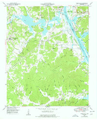
3 editions found

Other maps of this area

1905 · Waynesboro
USGS Topo · 1:125,000

1936 · Pine View
USGS Topo · 1:24,000

1936 · Scotts Hill
USGS Topo · 1:24,000

1936 · Parsons
USGS Topo · 1:24,000

1936 · Thurman
USGS Topo · 1:24,000

1936 · Bath Springs
USGS Topo · 1:24,000

1936 · Clifton
USGS Topo · 1:24,000

1936 · Jeannette
USGS Topo · 1:24,000

1936 · Perryville
USGS Topo · 1:24,000

1936 · Pope
USGS Topo · 1:24,000