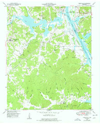
1949 Map of Perryville
USGS Topo · Published 1978About this map
Kentucky Lake and the Tennessee River dominate this West Tennessee landscape, where the confluence of the Beech River at Perryville once signaled a vital point of commerce and river transport. Published in the late 1970s from earlier surveys, the map documents the shoreline development and the numerous landings, such as Blunts Landing and Jennings Landing, that serviced the river traffic before and after the reservoir's creation. Inland, the seat of Decaturville serves as the primary upland settlement, while the terrain to the southeast transitions into the densely wooded ridges known as The Coalings.
Find a feature on this map
98 named features on this map. Tap any name to fly to it.
Don’t see what you’re looking for? This feature index may not catch every label — zoom into the map to look around manually.
Map Details
Editions of this 1949 Perryville Map
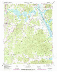
3 editions found

Other maps of this area

1905 · Waynesboro
USGS Topo · 1:125,000

1936 · Pine View
USGS Topo · 1:24,000

1936 · Scotts Hill
USGS Topo · 1:24,000

1936 · Parsons
USGS Topo · 1:24,000

1936 · Thurman
USGS Topo · 1:24,000

1936 · Bath Springs
USGS Topo · 1:24,000

1936 · Clifton
USGS Topo · 1:24,000

1936 · Jeannette
USGS Topo · 1:24,000

1936 · Perryville
USGS Topo · 1:24,000

1936 · Pope
USGS Topo · 1:24,000