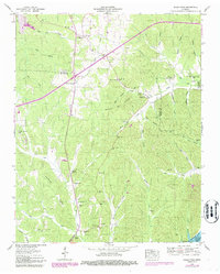
1949 Map of Sugar Tree
USGS Topo · Published 1987About this map
The ridge-and-hollow terrain of West Tennessee's Tennessee River valley defines this landscape, where the settlement of Sugar Tree marks a central point between Benton and Decatur counties. Much of the eastern edge is dedicated to the Tenn National Wildlife Refuge along the shores of Kentucky Lake, reflecting a mid-century shift toward federal land management and conservation. Family names are deeply etched into the topography through features like Baugus Cove and numerous hollows such as Barn Hollow and Woods Hollow.
Find a feature on this map
52 named features on this map. Tap any name to fly to it.
Don’t see what you’re looking for? This feature index may not catch every label — zoom into the map to look around manually.
Map Details
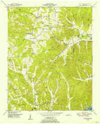
Editions of this 1949 Sugar Tree Map
2 editions found
Other maps of this area

1936 · Pine View
USGS Topo · 1:24,000

1936 · Parsons
USGS Topo · 1:24,000

1936 · Seventeen Creek
USGS Topo · 1:24,000

1936 · Daniels Landing
USGS Topo · 1:24,000

1936 · Jeannette
USGS Topo · 1:24,000

1936 · Sugar Tree
USGS Topo · 1:24,000

1936 · Cavvia
USGS Topo · 1:24,000

1936 · Rockport
USGS Topo · 1:24,000

1936 · Hustburg
USGS Topo · 1:24,000

1949 · Daniels Landing
USGS Topo · 1:24,000