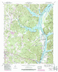
1949 Map of Jeannette
USGS Topo · Published 1987About this map
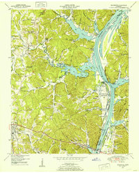
The Tennessee River corridor defines this 1949 survey, captured as the newly formed Kentucky Lake reshaped the valley's landscape. The widening waters created The Narrows and flooded lowlands, leading to the designation of the Tennessee National Migratory Wildlife Refuge along the riverbanks. To the west, the topography rises into a series of deeply etched hollows like Chalkbank Hollow and King Hollow, where small settlements and rural institutions remain focal points of the community.
Find a feature on this map
47 named features on this map. Tap any name to fly to it.
Don’t see what you’re looking for? This feature index may not catch every label — zoom into the map to look around manually.
Map Details
Editions of this 1949 Jeannette Map
2 editions found
Other maps of this area

1936 · Pine View
USGS Topo · 1:24,000

1936 · Scotts Hill
USGS Topo · 1:24,000

1936 · Parsons
USGS Topo · 1:24,000

1936 · Daniels Landing
USGS Topo · 1:24,000

1936 · Jeannette
USGS Topo · 1:24,000

1936 · Sugar Tree
USGS Topo · 1:24,000

1936 · Cavvia
USGS Topo · 1:24,000

1936 · Perryville
USGS Topo · 1:24,000

1936 · Pope
USGS Topo · 1:24,000

1949 · Perryville
USGS Topo · 1:24,000