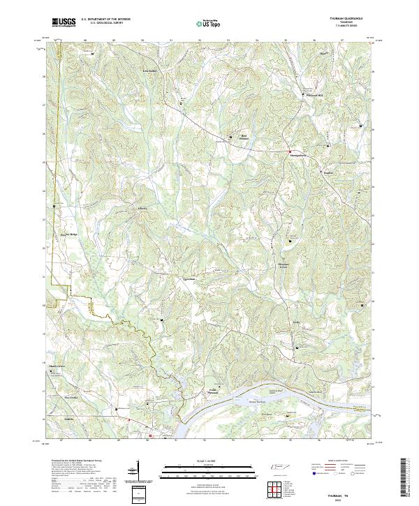
2022 Map of Thurman
USGS Topo · Published 2022About this map
Saltillo serves as a primary landing on the west bank of the Tennessee River, where the landscape shifts from the river bottomlands of Pitts Bend and Swallow Bluff toward the upland ridges of Decatur County. This contemporary survey captures a network of rural crossroads and historic family burial grounds that anchor the local geography. Significant concentrations of these sites, including the Red Walnut Church Cem and Corinth Cem, are connected by an intricate system of creeks and branches such as Stewman Cr and Doe Creek.
Find a feature on this map
161 named features on this map. Tap any name to fly to it.
Don’t see what you’re looking for? This feature index may not catch every label — zoom into the map to look around manually.
Map Details
Editions of this 2022 Thurman Map
This is the sole edition of this map. No revisions or reprints were ever made.
Other maps of this area

1936 · Hookers Bend
USGS Topo · 1:24,000

1936 · Scotts Hill
USGS Topo · 1:24,000

1936 · Thurman
USGS Topo · 1:24,000

1936 · Olivehill
USGS Topo · 1:24,000

1936 · Bath Springs
USGS Topo · 1:24,000

1936 · Sardis
USGS Topo · 1:24,000

1936 · Reagan
USGS Topo · 1:24,000

1936 · Milledgeville
USGS Topo · 1:24,000

1936 · Perryville
USGS Topo · 1:24,000

1949 · Perryville
USGS Topo · 1:24,000