Old Maps of Oakland, Tennessee for Hiking & Exploration
Hike through history with 34 historic maps of Oakland. Explore old trails, ghost towns, and forgotten backroads — perfect for outdoor adventurers and local explorers.
- Rediscover forgotten places: Map out old mining camps, roads, and footpaths that no longer exist on modern maps.
- Layer with modern tools: Combine with LiDAR or satellite views to plan hikes through historical terrain.
- Made for exploration: Popular among hikers, overlanders, and local history lovers.
Use these maps to find adventure and explore the hidden past of Oakland.
Oakland, TN maps
(34)- 1943 Map of Collierville, 1964 Print
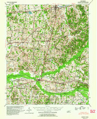
 1943 Collierville1964 Print · USGSThe rural borderlands of Shelby and Fayette counties are captured here in the early 1940s, anchored by the rail hubs of Collierville and Rossville. Genealogists can trace family roots through numerous sites like Augusta Rosenwald Sch, Magnolia Cem, and Morning Sun Ch & Cem.
 - 1949 Map of Moscow, 1964 Print
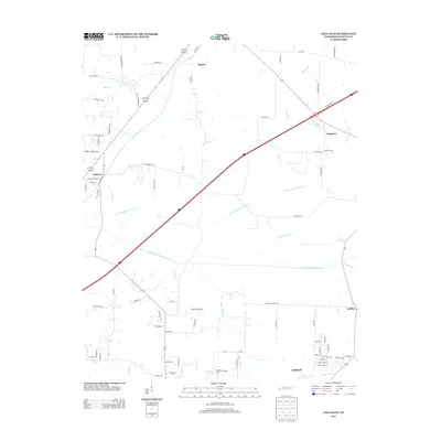
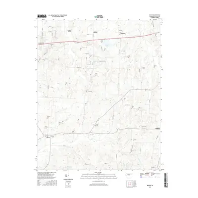
 1949 Moscow1964 Print · USGSFayette County in the late nineteen-forties was a landscape of rail-centered commerce and deeply rooted rural communities. Genealogists and historians can trace numerous family-named landmarks and institutions, from the Fayette Co Training Sch to settlements like Moscow and Hays Crossing.
 - 1953 Map of Collierville
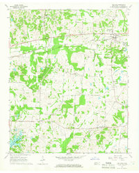
 1953 Collierville1953 Print · USGSThe rural borderlands of Shelby and Fayette counties are captured here in the early fifties, showing a landscape of river bottoms and rail-side hamlets. Genealogists can locate family landmarks like Chambers Chapel & Cem, Hickory Withe Sta, and Morning Sun Ch & Cem.
 - 1954 Map of Mason
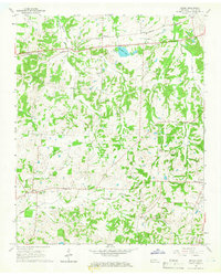
 1954 Mason1954 Print · USGSWest Tennessee in the mid-1950s shows a landscape of rail-linked towns and deep-rooted rural institutions. Genealogists and researchers can trace family connections at the Dunlap Orphanage, Home Ferry Sch, and numerous sites like St Matthews Sch & Ch.
 - 1956 Map of Blytheville, 1964 Print
 1956 Blytheville1964 Print · USGSWest Tennessee and the Arkansas Delta come alive in this mid-century survey of the river-and-rail corridor connecting Memphis to Jackson. Genealogists and historians can trace the rail lines of the Louisville and Nashville RR and locate landmarks like Western State Hospital or Fort Pillow State Prison Farm.2 unique versions available
 - 1959 Map of Blytheville
 1959 Blytheville1959 Print · USGSWest Tennessee and Northeast Arkansas meet along the river in the late fifties, during a period of steady industrial and agricultural growth. Genealogists can trace the rail corridors of the Illinois Central through Jackson or explore landmarks like Shiloh National Military Park and Fort Pillow State Prison.
 - 1965 Map of Oakland, 1966 Print
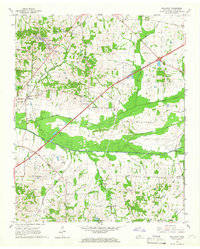
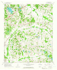
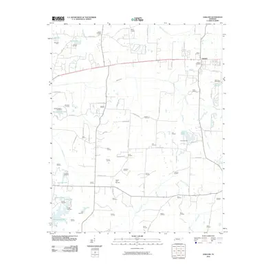
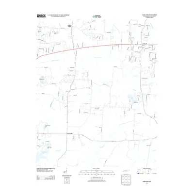
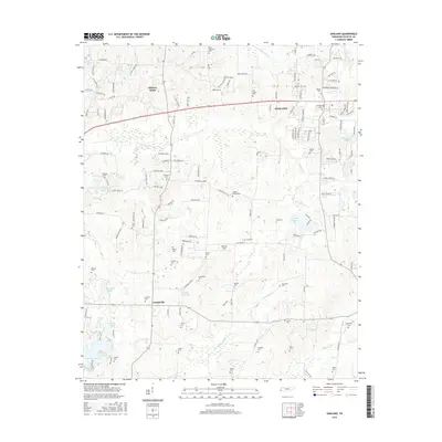
 1965 Oakland1966 Print · USGSFayette County in the mid-sixties shows a landscape defined by the Louisville and Nashville railroad and tight-knit rural communities. Genealogists can trace family names across dozens of sites like Dudney Cem, Bailey Cem, and the Sanctified Ch.3 unique versions available
 - 1965 Map of Macon, 1966 Print
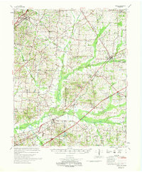
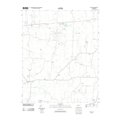
 1965 Macon1966 Print · USGSMid-century Fayette County remains a landscape of small farming communities and family homesteads connected by the Louisville and Nashville rail line. Genealogists can trace dozens of local burial sites including Walled Cem, Macon Cem, and the Shady Grove Ch Cem.2 unique versions available
 - 1965 Map of Gallaway, 1966 Print
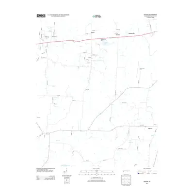
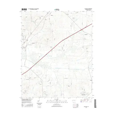
 1965 Gallaway1966 Print · USGSFayette County in the mid-1960s was a landscape of canal-managed bottomlands and busy rail hubs. Researchers can trace rural lineages through numerous community sites like Center Point, Nolley Chapel, and the Hillard-Nolley Cem.3 unique versions available
 - 1965 Map of Eads, 1966 Print
 1965 Eads1966 Print · USGSShelby and Fayette counties appear here in the mid-sixties, showing a landscape of rural crossroads and growing recreation lakes. Local historians can trace old family sites like Lea Union Cem or the rural commerce at Fisherville and Lenow.3 unique versions available
 - 1968 Map of Moscow
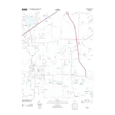
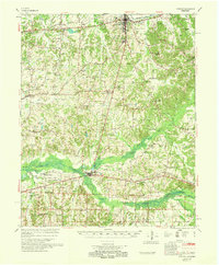 1968 Moscow1968 Print · USGSSouthern Fayette County in the late sixties reveals a landscape shaped by the Wolf River and the Southern railroad. Genealogists can trace family roots through numerous local landmarks like Corner Sch, Ebenezer Ch, and the Old State Line.
 - 1968 Map of Collierville
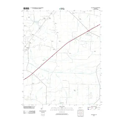
 1968 Collierville1968 Print · USGSThe Shelby and Fayette county line comes alive in the late sixties, showing the rail-centered growth of Collierville and Piperton. Genealogists can locate family landmarks like Brooks Chapel, Mebane Cem, and the Morris Lookout Tower near the river.
 - 1969 Map of Mason
 1969 Mason1969 Print · USGSWest Tennessee in the late sixties reveals a landscape of rural junctions and evolving infrastructure across Tipton, Shelby, and Fayette counties. Genealogists can trace family names at Dunlap Orphanage or local schools like Bloomington Sch and St Mathews Sch.
 - 1986 Map of Memphis East
 1986 Memphis East1986 Print · USGSWest Tennessee in the mid-eighties shows the meeting point of Memphis suburban growth and the deep bottomlands of the Hatchie River. Genealogists and historians can trace rail-town development along the Southern Railway and locate major landmarks like Ames Plantation and the U S Naval Air Station.2 unique versions available
 - 2010 Map of Eads, 2010 Print
 2010 Eads2010 Print · USGSCovers Oakland, including Memphis, Bartlett, and other nearby areas
 - 2010 Map of Oakland, 2010 Print
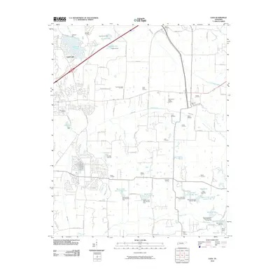
 2010 Oakland2010 Print · USGSCovers Oakland, including Hickory Withe, Canadaville, and other nearby areas
 - 2010 Map of Gallaway, 2010 Print
 2010 Gallaway2010 Print · USGSCovers Oakland, including Gallaway, Braden, and other nearby areas
 - 2010 Map of Macon, 2010 Print
 2010 Macon2010 Print · USGSCovers Oakland, including Somerville, Williston, and other nearby areas
 - 2013 Map of Macon, 2013 Print
 2013 Macon2013 Print · USGSCovers Oakland, including Somerville, Williston, and other nearby areas
 - 2013 Map of Oakland, 2013 Print
 2013 Oakland2013 Print · USGSCovers Oakland, including Hickory Withe, Canadaville, and other nearby areas
 - 2013 Map of Eads, 2013 Print
 2013 Eads2013 Print · USGSCovers Oakland, including Memphis, Bartlett, and other nearby areas
 - 2013 Map of Gallaway, 2013 Print
 2013 Gallaway2013 Print · USGSCovers Oakland, including Gallaway, Braden, and other nearby areas
 - 2016 Map of Oakland, 2016 Print
 2016 Oakland2016 Print · USGSCovers Oakland, including Hickory Withe, Canadaville, and other nearby areas
 - 2016 Map of Gallaway, 2016 Print
 2016 Gallaway2016 Print · USGSCovers Oakland, including Gallaway, Braden, and other nearby areas
 - 2016 Map of Macon, 2016 Print
 2016 Macon2016 Print · USGSCovers Oakland, including Somerville, Williston, and other nearby areas
Showing maps 1-25 of 34
Top cities near Oakland
- Memphis historical maps
- Bartlett historical maps
- Collierville historical maps
- Germantown historical maps
- Lakeland historical maps
- Atoka historical maps
See more
Frequently asked questions
- What are the different types of historical maps available for Oakland?
- What is the oldest map of Oakland?
- Where can I purchase historical maps of Oakland for my home or office?
- Where can I download high-res historical maps of Oakland?
- Are there historical topographic maps available for Oakland?
- Is there historical aerial imagery available for Oakland?
- Where are historical maps of Oakland sourced from?