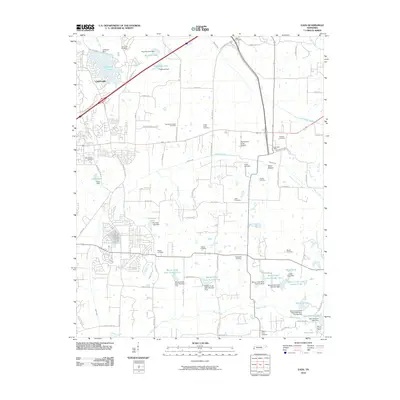
2010 Map of Eads
USGS Topo · Published 2010About this map
Lakeland and the surrounding Shelby County landscape appear here in a period of suburban transition, where residential development meets a complex network of managed waterways. The area is defined by numerous man-made reservoirs and dams, including Lakeland Lake, Paradise Lake, and a series of numbered catchments along Marys Creek. To the east, the Eads Post Office serves a more rural stretch of terrain characterized by Spain Bottom and the winding course of Grays Creek.
Find a feature on this map
91 named features on this map. Tap any name to fly to it.
Don’t see what you’re looking for? This feature index may not catch every label — zoom into the map to look around manually.
Map Details
Editions of this 2010 Eads Map
This is the sole edition of this map. No revisions or reprints were ever made.
Other maps of this area

1942 · Millington
USGS Topo · 1:62,500

1943 · Collierville
USGS Topo · 1:62,500

1953 · Collierville
USGS Topo · 1:50,000

1954 · Mason
USGS Topo · 1:62,500

1956 · Blytheville
USGS Topo · 1:250,000

1959 · Blytheville
USGS Topo · 1:250,000

1960 · Bartlett
USGS Topo · 1:62,500

1960 · Millington
USGS Topo · 1:62,500

1961 · Bartlett
USGS Topo · 1:62,500

1965 · Rossville
USGS Topo · 1:24,000